Hidden Gems in Ireland (Avoid the overcrowded locations)
Ireland Travel Planning uses affiliate links, including Amazon Associates. If you buy through these links, I may earn a small commission at no extra cost to you. I use a mix of my own photos and paid stock images across the site. (Disclosure Policy)
Ireland may be a small island, but there are still plenty of places that never make it onto the typical first-time itinerary.
And honestly, those are often some of my favourite places to explore.
I’ve spent years travelling around Ireland, sometimes with a plan and sometimes because I spotted something interesting on Google Maps and decided to see what was there. This list is a collection of the beaches, coastal drives, hiking trails, islands and unusual places I’ve discovered along the way.
Now, I should probably say that ‘hidden gem’ is a bit of a loose term. Some of these places are genuinely lesser known, while others are popular with Irish visitors but often missed by those travelling to Ireland for the first time.
I’ve organised them by region and county to make it easier to find the places that actually fit into your Ireland itinerary.
You definitely don’t need to visit them all. Instead, use this guide to find a few lesser-known stops that naturally fit alongside the places you already plan to visit.
QUICK TIPS for IRELAND
AVOID HIGH ROAMING CHARGES
Airalo eSIMs work seamlessly across Ireland with quick, affordable data plans. Use code IRELAND10 for 10% off your plan (ROI Deals & ROI & NI Plans)
AIRPORT TRANSFER MADE EASY
Welcome Pickups is my go-to for reliable rides from the airport straight to your accommodation. I'd advise booking in advance for peace of mind.
DISCOVER UNIQUE activities
Check out GetYourGuide & Viator for unique things to do, like a DIY Claddagh Ring Workshop or a street food walking tour with a local.
DON’T SKIP INSURANCE!!
I can't stress this enough, but travel insurance is an absolute must! Thankfully, VisitorsCoverage is great for comparing affordable, trusted insurance plans to find one that actually suits your needs.
AVOID OVERPAYING FOR CAR RENTALS
Before booking your rental, I'd advise checking out comparison tools like DiscoverCars to ensure you're getting the best deal on the market.
NEED A LAST MINUTE PACKING FIX?
You'd be surprised how many visitors regret not packing waterproof trousers (like these) or a universal travel adapter (like this). That's why I created this Amazon essentials list for those last minute packing needs.
Hidden Gems Along the Wild Atlantic Way: North West Ireland
The further north you travel along the Wild Atlantic Way, the easier it becomes to escape the crowds.
From Galway and Mayo to Sligo and Donegal, this part of Ireland is packed with wild beaches, coastal drives and lesser known places that many first time visitors completely miss.
Horn Head, County Donegal
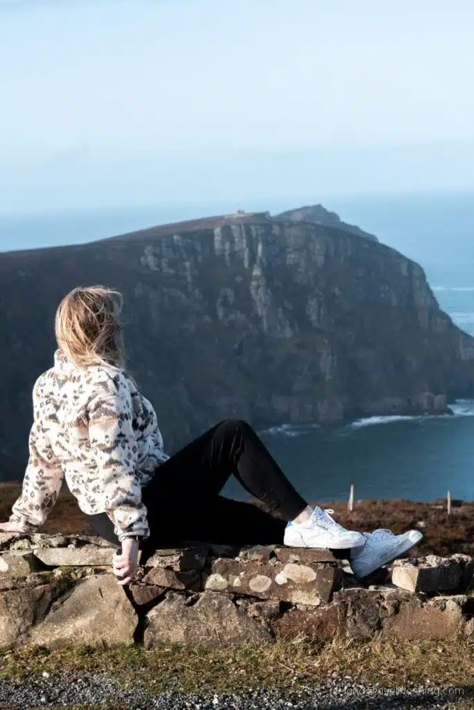
Horn Head is one of those places I’d recommend if you love scenic drives but don’t necessarily want to commit to a long hike.
The loop takes you around a rugged peninsula just outside Dunfanaghy, with views across the Atlantic, cliffs and the surrounding Donegal landscape.
There are places to stop along the way and get out for a closer look, so you can make this as quick or as leisurely as you like.
Personally, what I loved most was the feeling of isolation. It’s the kind of place where I’m quite happy to pull over, get out of the car and just stand looking at the coast for a while.
The roads are narrow in places, so take your time if you’re still getting used to driving in Ireland. I’d also give yourself more time than Google Maps suggests because the whole point is stopping along the way.
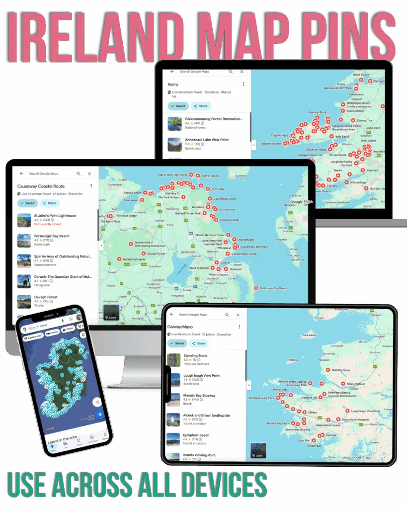
Avoid only visiting the same generic locations seen in every Ireland Travel guide…
Instead, spice up your itinerary with local hidden gems, lesser-known spots, and pull-ins that most drive past.
Sign up below for free access to my hand-picked Google Map Pins.
Murder Hole Beach, County Donegal
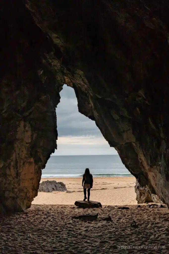
Murder Hole Beach, also known as Boyeeghter Bay, is easily one of the most beautiful beaches I’ve visited in Ireland. But unlike some of the other places on this list, this is not somewhere you simply pull up, take a quick photo and continue on your way.
A dedicated walking route now leads from the car park to the beach, with the journey taking roughly 40 minutes to an hour depending on your pace. The trail includes some steep sections, so I’d only add this to your itinerary if you have the time and are comfortable with the walk.
For me, the beach itself was worth it. I sat watching the waves for well over an hour, and the natural sea cave makes it even more unusual. However, the water here is known for dangerous currents, so this is very much a beach to admire rather than somewhere I’d recommend swimming.
If you want to explore the cave, check the tide times before visiting and only enter when conditions allow. Dogs are also not permitted on the trail due to the surrounding farmland and livestock.
ℹ️ Key Information for visiting Murderhole beach
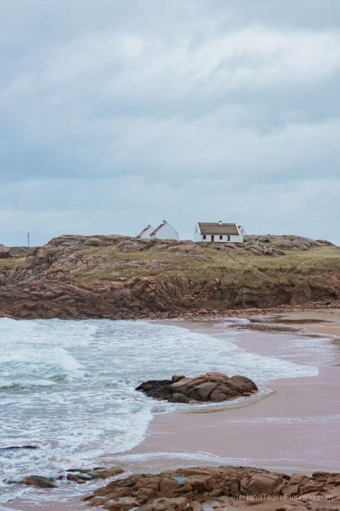
Cruit Island, County Donegal
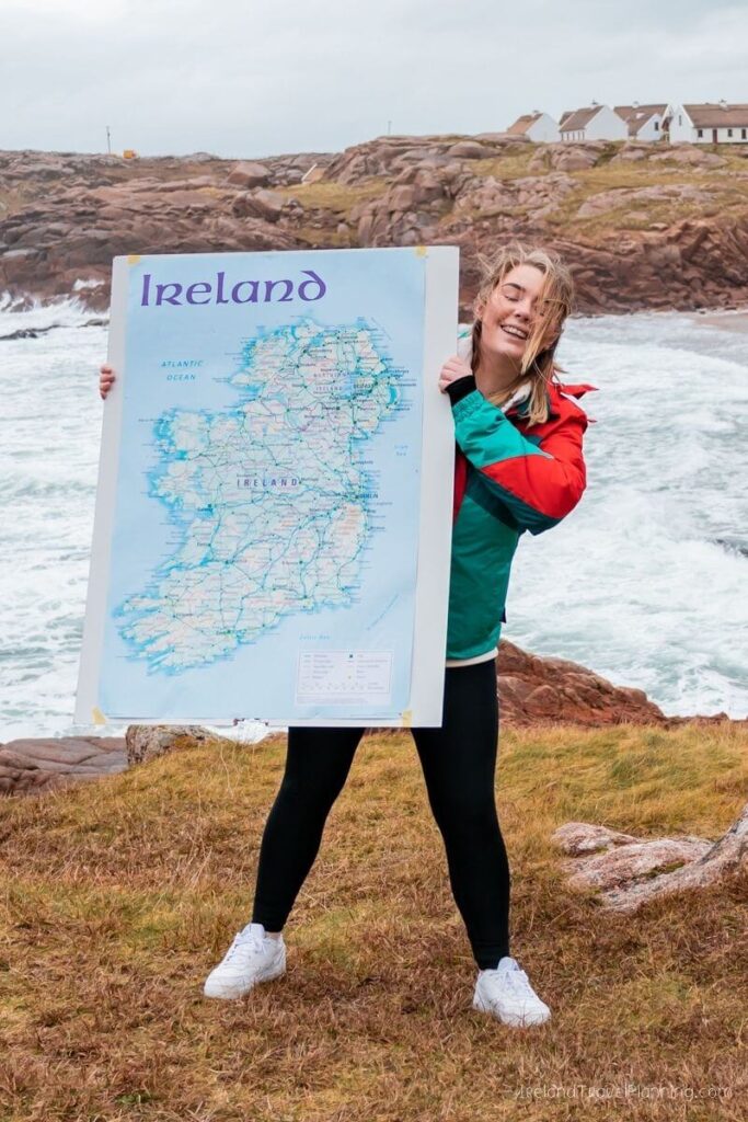
If you’ve been watching my YouTube channel for a while, you may remember the time we threw a dart at a map of Ireland and travelled wherever it landed. Thankfully for us, it landed in County Donegal.
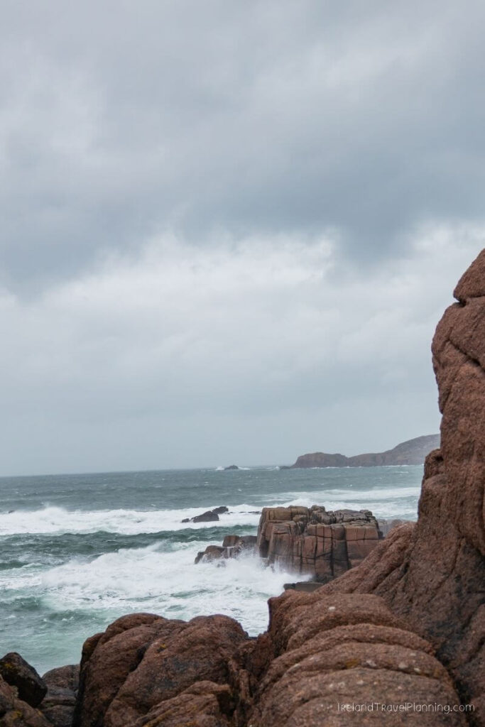
We were travelling around in the camper van looking for somewhere to spend the night when we came across Cruit Island, and the only word I can really use to describe it is still.
There was no sense of tourism or rush. Just quiet roads, beautiful beaches and that feeling that you had somehow stumbled across a little corner of Ireland completely by yourself.
Despite the name, Cruit is connected to the mainland by a bridge, so you don’t need to take a ferry to visit. But I almost hesitate to include places like this in guides because the lack of tourism is part of what makes them so special.
So, if you do visit, please treat it that way. Cruit Island is home to a small local community, not a tourist attraction. Come quietly, be mindful of where you park, respect private property and leave it exactly as you found it.
It’s one of those places where there isn’t necessarily anything you need to do. You just enjoy being there.
Throwing a DART at the map of IRELAND 🇮🇪 You'll NEVER GUESS where it lands!
Slieve League Peninsula, County Donegal
Slieve League itself can't really be considered a hidden gem these days. The cliffs are becoming increasingly popular with visitors to Ireland, and rightly so.
At almost three times the height of the Cliffs of Moher, they are one of the most impressive stretches of coastline in the country.
Although most of those who visit Slieve League, stop at the main viewpoint, not realising that you can hike all the way along the cliff edge, explore with a local on tours like this or see the cliffs from a completely different perspective on an epic boat experience.
But what I think many people miss is just how beautiful the wider Slieve League Peninsula is.
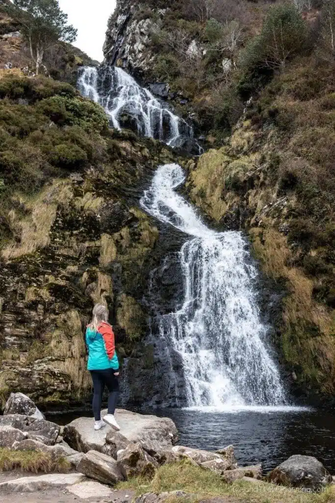
One of my favourite stops is Assaranca Waterfall, which quite literally sits at the side of the road. You can pull in, admire the waterfall and be back on your way within a few minutes, although I normally end up staying much longer than planned.
Continue along the coast and you’ll find Maghera Beach, a huge stretch of sand backed by caves that can be explored when the tide allows. Beyond that, the peninsula is full of beaches, coastal views and little places that make you want to pull over just to see what’s there.
My advice is not to treat Slieve League as a single attraction. Give yourself time to explore the peninsula around it, because honestly, some of my favourite parts of this area have been the places I wasn’t originally planning to stop.
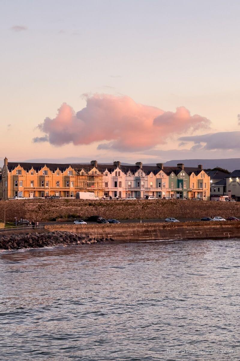
Bundoran, County Donegal
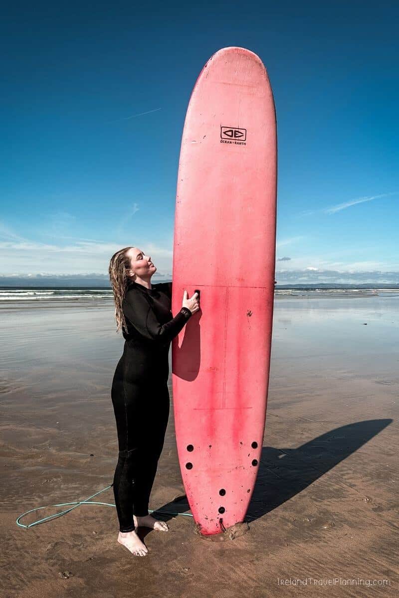
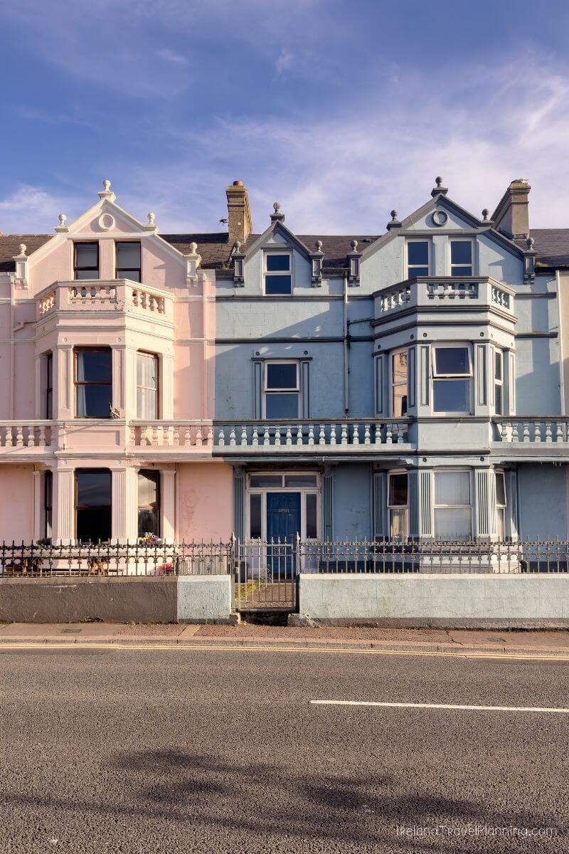
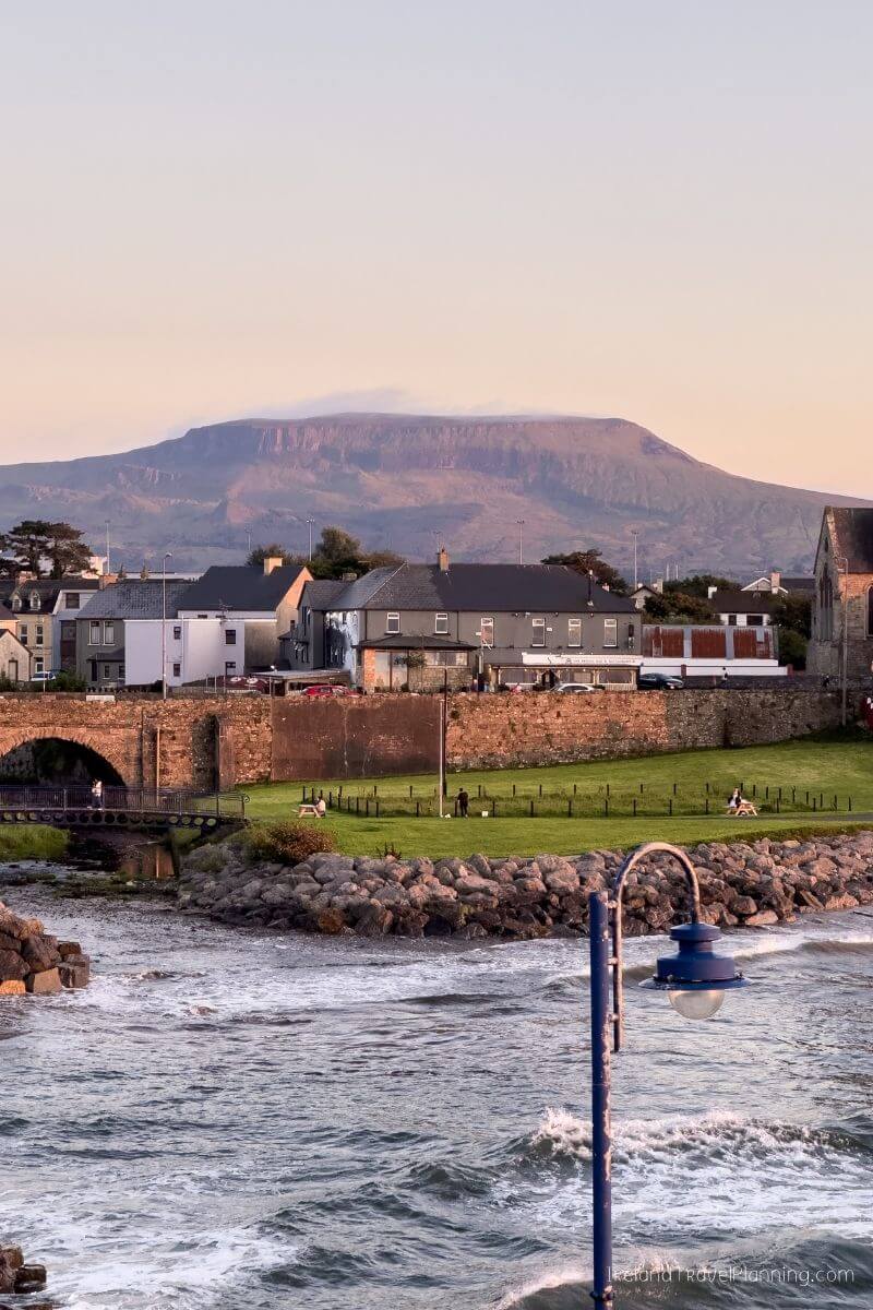
Bundoran is a popular seaside town among Irish holidaymakers and one of the best-known surfing destinations in the country. Yet, strangely, I rarely see it included on international visitors’ Ireland itineraries.
And honestly, I think people are too quick to write it off.
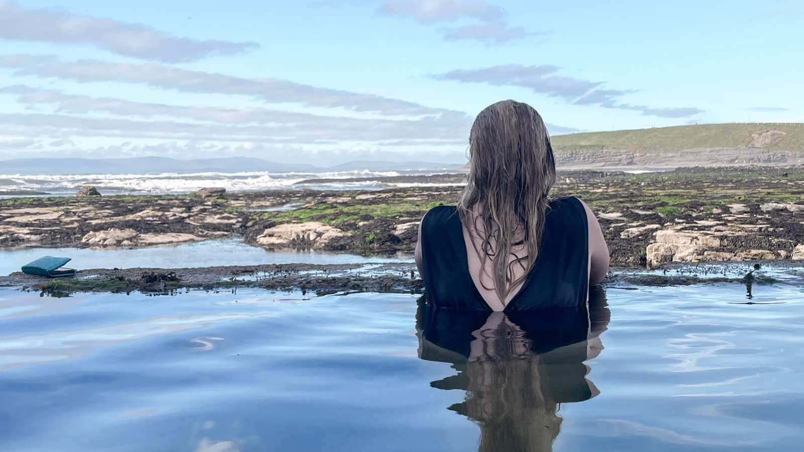
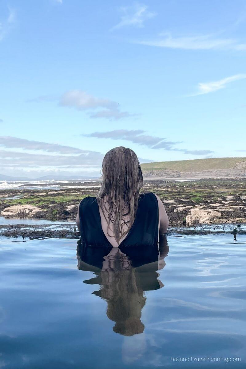
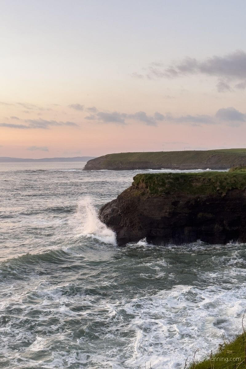
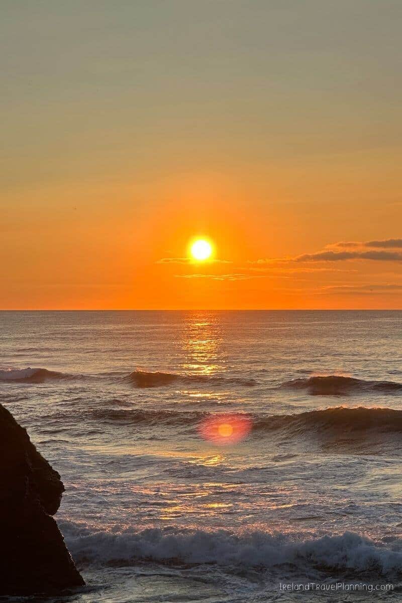
Yes, there are amusements and all the things you would expect from an Irish seaside town, but look beyond the centre and Bundoran has some incredible coastline. Think dramatic cliffs, sandy beaches, coastal walks and what I have always called ‘Ireland’s Infinity Pool’.
I first started using that name years ago because, well… that is exactly what it looks like. The outdoor sea pool appears to merge into the Atlantic behind it, and videos I’ve shared from here have since reached millions of people online.
Bundoran is also one of the easiest parts of Donegal to add to a wider Ireland itinerary. It sits just across the county border from Sligo, so you don’t need to venture deep into Donegal to get your first taste of the county.
If you’re already exploring Sligo or travelling north along the Wild Atlantic Way, I’d absolutely consider spending some time here. Just don’t judge Bundoran solely by the amusements. The coastline is where it really shines.

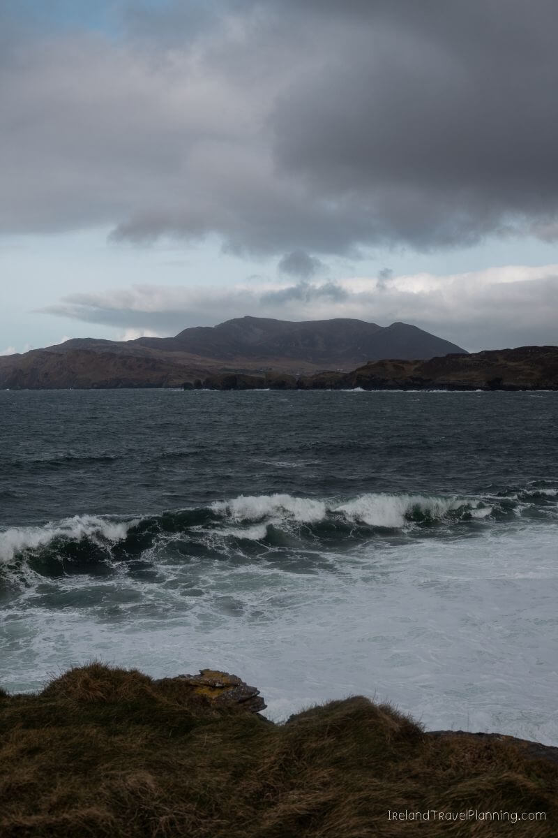
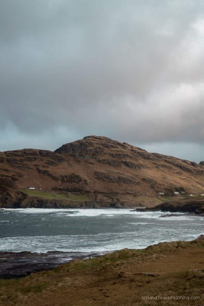
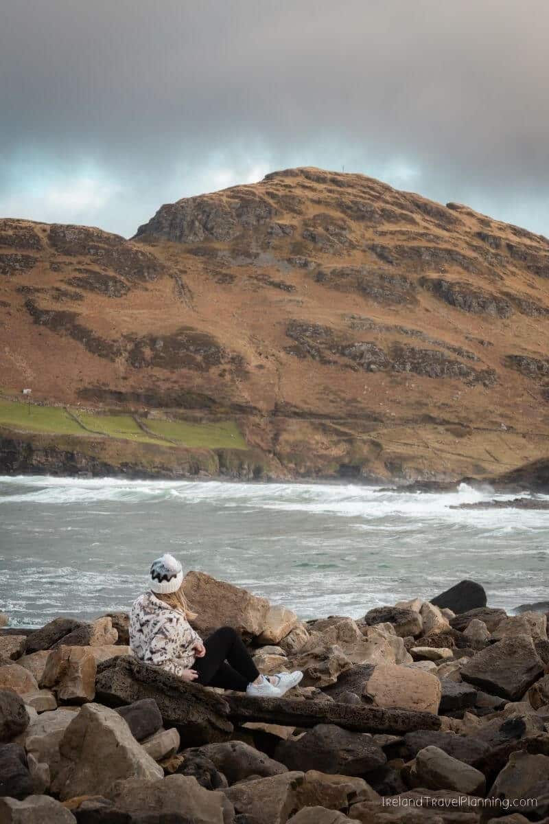
Muckross Head, County Donegal
Muckross Head is one of those places I found by doing what I probably spend far too much time doing… scrolling around Google Maps looking for somewhere interesting to explore.
And honestly, it is now one of my favourite places in Ireland.
Located along the Slieve League Coast, around 10 kilometres from Killybegs, Muckross Head is an easy place to add if you’re already exploring this part of Donegal.
There are beaches and coastal walks in the area, but for me, the real appeal is simply finding a spot overlooking the Atlantic and watching the waves crash below.
I spent well over an hour doing exactly that on my first visit.
There isn’t a long list of attractions to tick off when you arrive, and I think that is part of what I love about it.
If you’re travelling between Killybegs and the Slieve League Peninsula, give yourself time to make the detour rather than rushing straight between the bigger stops.
NEED A LAST-MINUTE PACKING FIX?
You'd be surprised how many visitors regret not packing waterproof trousers (like these) or a universal travel adapter (like this). That's why I created this Amazon essentials list for those last-minute packing needs.
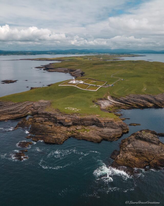
St John’s Point, County Donegal
St John’s Point is probably not somewhere I’d tell you to build an entire day around, but if you’re looking for a quiet coastal detour in Donegal, this is exactly the kind of place I love.
The long peninsula stretches out into Donegal Bay, and there is something incredibly peaceful about driving towards the coast and leaving most signs of busy life behind. I could happily sit here for hours watching the waves.
You’ll also find one of Ireland’s old Éire signs in the area. These large coastal markings were used during the Second World War to help aircraft identify that they were flying over neutral Ireland, and the restored Éire 70 sign can still be seen at St John’s Point.
At the end of the peninsula sits St John’s Point Lighthouse. While this isn’t a traditional visitor attraction where you turn up for a lighthouse tour, the former lightkeeper’s cottages can actually be booked for an overnight stay.
For me, though, St John’s Point is less about having something to ‘do’ and more about the drive, the coastline and the peace and quiet when you get there.
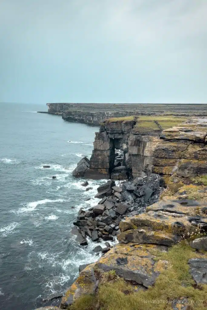
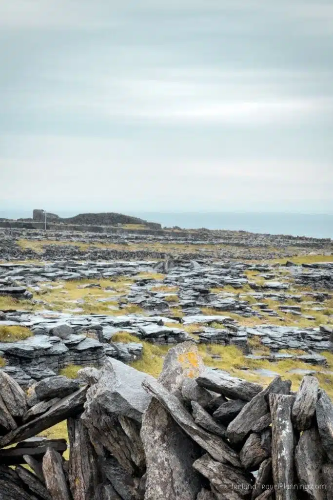
Dún Dúchathair, (The Black Fort) Inis Mór
Most visitors to Inis Mór have heard of Dún Aonghasa, the famous stone fort sitting high above the Atlantic. But if you want to experience a much quieter side of the island, Dún Dúchathair, or the Black Fort, is one of my favourite places to explore.
The landscape here feels incredibly raw. You walk across the limestone towards the remains of the fort, with very little around you besides stone walls, cliffs and the Atlantic.
When I visited, that lack of crowds was exactly what made it so memorable.
Getting there does take a little more effort than simply cycling between the island’s main attractions. The final approach is on foot across uneven limestone, so wear proper shoes and allow enough time rather than trying to squeeze it into an already packed day.
There are also no barriers along the cliff edge. That is part of what makes the landscape feel so untouched, but you do need to take care, particularly in strong winds or if travelling with children.
If you’re only visiting Inis Mór for the day, I’d prioritise Dún Aonghasa on a first visit. But if you have more time on the island, or you’re looking for somewhere quieter, Dún Dúchathair is well worth the extra effort.
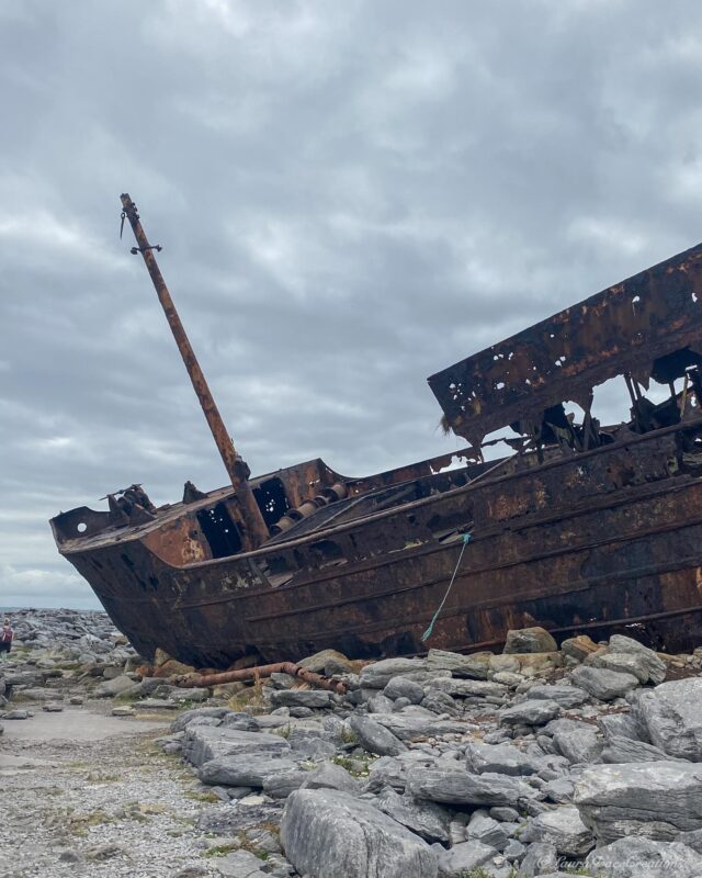
Plassey Shipwreck, Inis Oírr
The Plassey Shipwreck is one of the most recognisable sights on Inis Oírr, particularly if you’ve ever watched Father Ted. The wreck appeared in the opening credits of the show, although plenty of visitors to Ireland still have no idea where it actually is.
The MV Plassey washed ashore during a storm in 1960 and has remained on the island’s rocky coastline ever since.
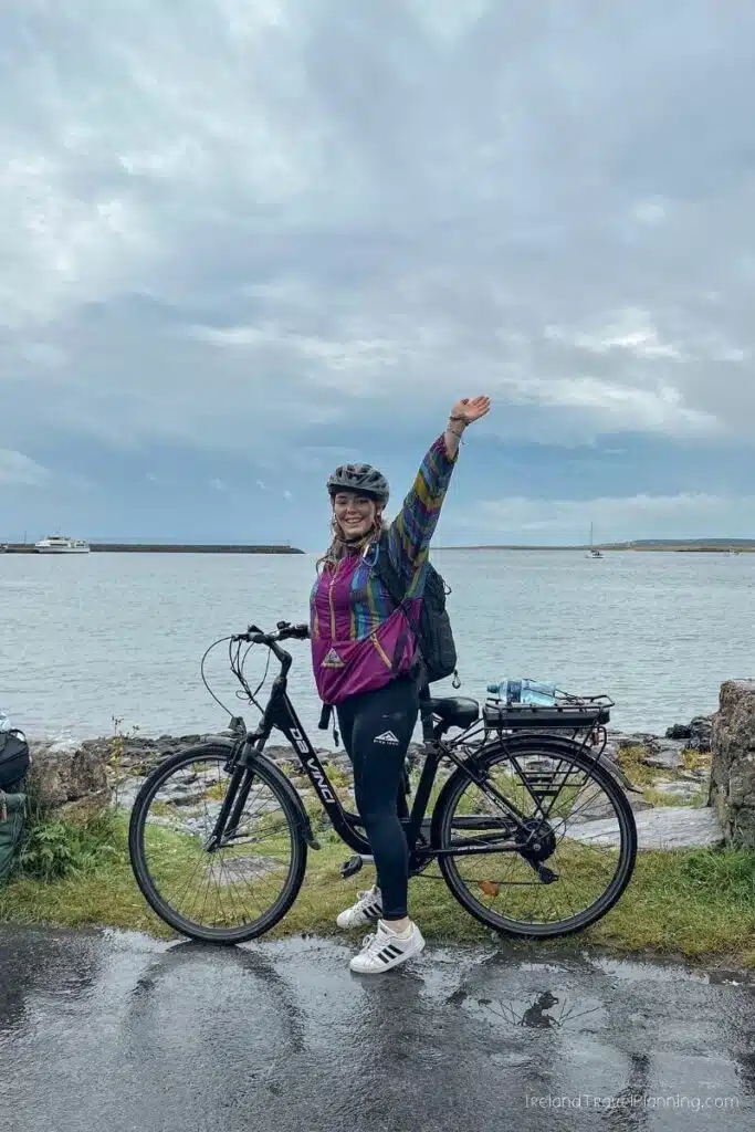
You can reach it in around 40 minutes on foot from the ferry pier, or much faster by bike, which is one of my favourite ways to explore Inis Oírr. The island is the smallest of the three Aran Islands, so it is manageable as a day trip without feeling like you need to race between attractions.
Personally, I wouldn’t travel to Inis Oírr solely to see the shipwreck. It is the combination of the Plassey, the quiet roads, stone walls, beaches and slower pace of the island that makes the trip worthwhile.
If you’re staying in Clare, you can visit Inis Oírr by ferry from Doolin, with some sailings also giving you the option to see the Cliffs of Moher from the water. It’s a lovely way to combine two completely different experiences in one day without having to plan all the logistics yourself.
You can also visit Inis Mór from Rossaveal in Connemara, which means that it fits into a wide range of Ireland road trip itineraries.
🚨 DON'T SKIP INSURANCE: I can't stress this enough, but travel insurance is an absolute must! Thankfully, VisitorCoverage is a great tool when comparing affordable plan options.
The Beaches of Connemara, County Galway
When most people picture Connemara, they tend to think of mountains, winding roads and moody landscapes. What I don't think gets nearly enough attention are the beaches.
Honestly, some of the most beautiful beaches I’ve visited in Ireland are in this part of Galway.
Two of my favourites are Dog’s Bay and Gurteen Bay, which sit back-to-back just outside the colourful village of Roundstone. The white sand here is made from tiny fragments of seashells, and on a calm, sunny day, the colour of the water can make you question whether you are actually still in Ireland.
Part of the fun is driving the coast, stopping when somewhere catches your eye and seeing what you find.
That said, Dog’s Bay and Gurteen Bay are well worth adding if you’re already exploring around Roundstone. They can get busy during good weather and the final road down is narrow, so I’d avoid arriving at the busiest time of day during the summer months.
Atlantic Drive, Achill Island, County Mayo
Achill Island is hardly a hidden gem these days (among locals at least). It has become increasingly popular in recent years, helped in no small part by The Banshees of Inisherin, which was partly filmed on the island.
Keem Bay tends to get most of the attention, and I completely understand why. But what many visitors don’t realise is that Achill is also home to one of my favourite scenic drives in Ireland.
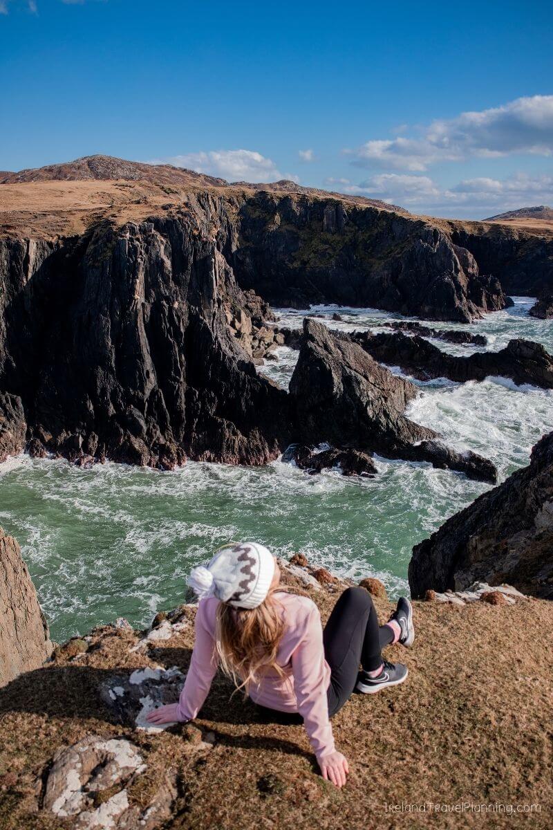
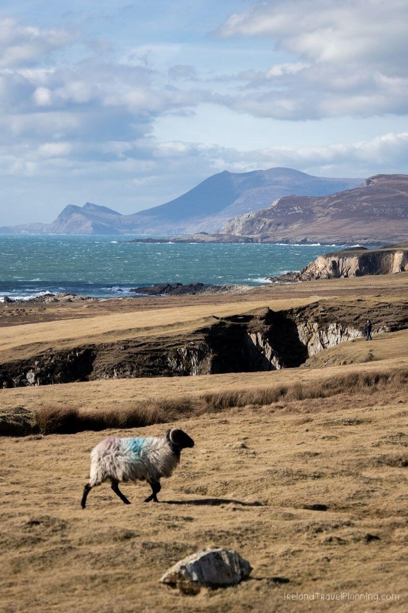
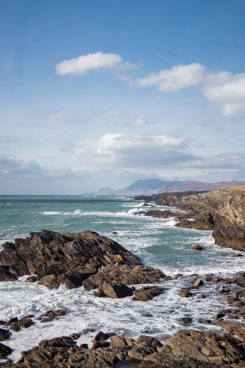
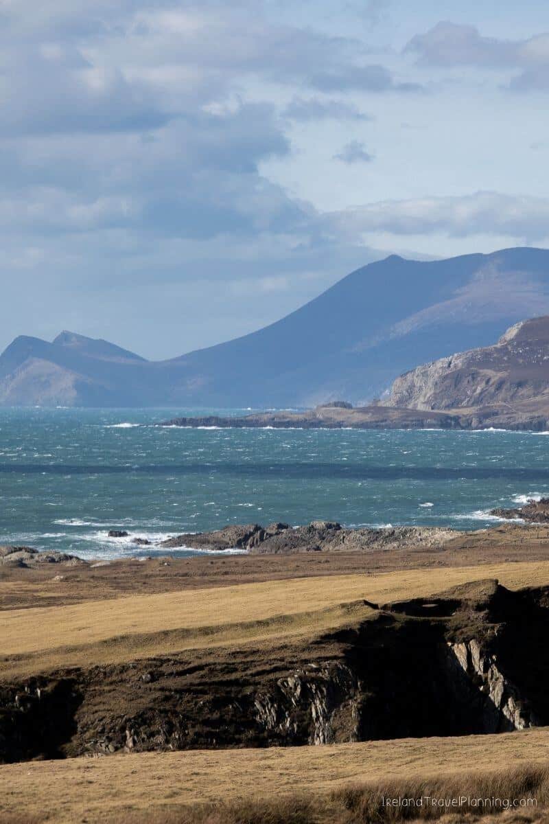
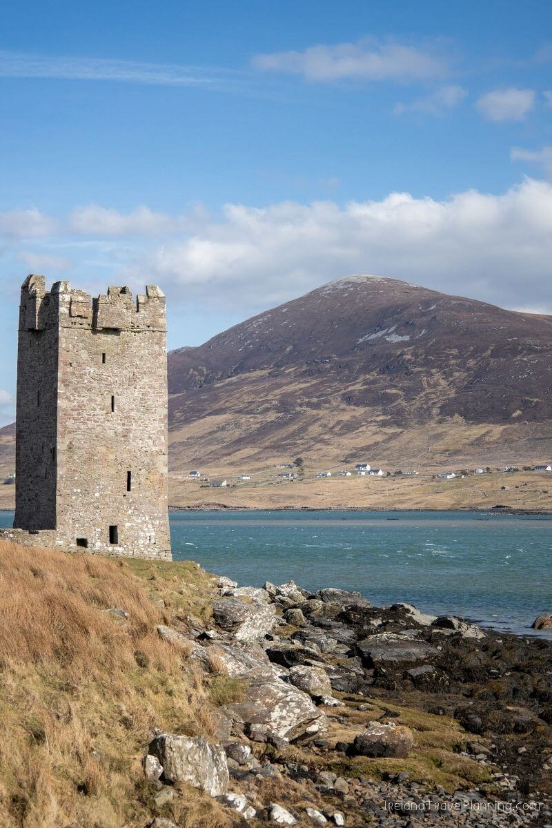
The Atlantic Drive takes you around the southern part of the island, past places like Grace O’Malley’s Castle and the White Cliffs of Ashleam. But honestly, some of my favourite views aren’t signposted attractions or pins you’ll find on Google Maps.
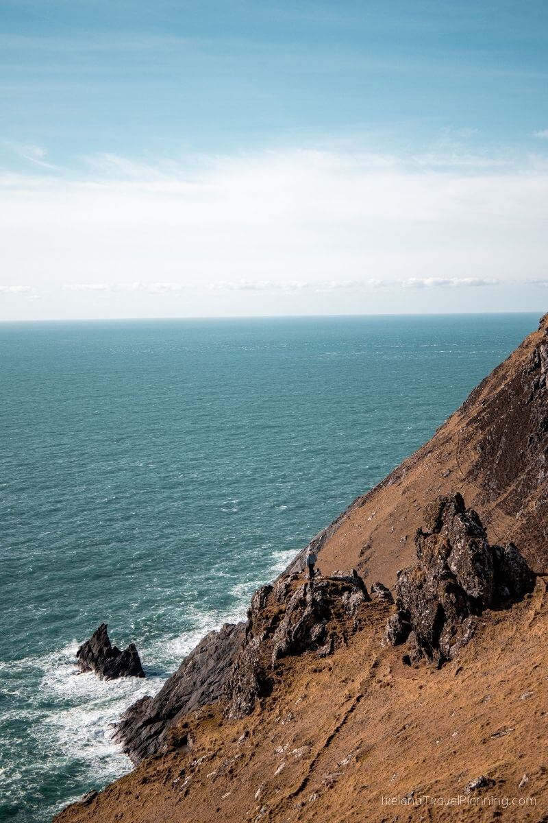
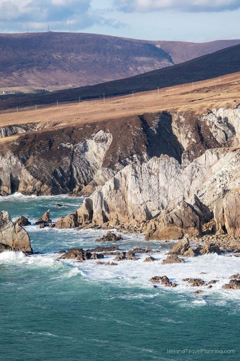
A lot of the photos you see in this guide came from simply finding somewhere safe to park, getting out of the car and exploring on foot. There are rugged cliffs and stretches of coastline where the drive itself feels like the attraction, rather than a route between one famous stop and the next.
Achill is also home to Croaghaun, the highest sea cliffs in Ireland, which rise to around three times the height of the Cliffs of Moher. Reaching the main viewpoints involves a challenging hike, but you don’t need to tackle Croaghaun to appreciate just how dramatic this island can be.
So, by all means, go and see Keem Bay. It deserves the attention it gets. Just don’t drive straight there and miss everything along the way.
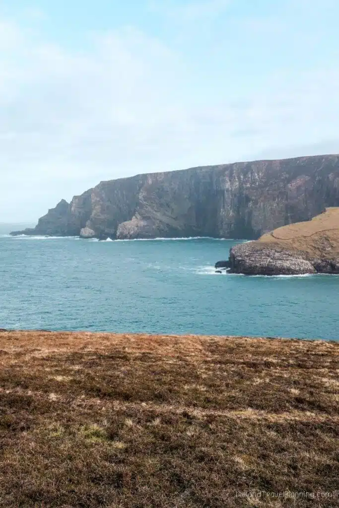
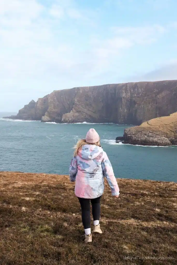
Portacloy Cliff Walk, County Mayo
North Mayo is home to some of the wildest coastal scenery in Ireland, and Portacloy is one of my favourite places to experience it.
The full Portacloy Loop is around 18 kilometres, taking you along the coast above beaches, cliffs and the Atlantic. But you don’t need to complete the entire route to enjoy the views.
When I visited, I walked part of the trail before turning back, and honestly, the scenery was incredible from quite early on. This makes it easy to choose how far you want to go depending on your time and fitness level.
The beach at Portacloy is also beautiful, so even if you don’t fancy the full 18-kilometre walk, there is still plenty to enjoy here.
If you plan to complete the full loop, allow several hours and come prepared for a proper coastal hike with suitable footwear and the usual unpredictable Irish weather. Otherwise, you can simply follow the trail for as long as suits you before returning the same way.
ℹ️ Key Information for Portacloy Cliff Walk
Full loop: 18 km
Difficulty: Moderate
Best for: Coastal walking and remote scenery
Short on time? Walk part of the route and return the same way
Good to know: This is a remote part of North Mayo
Doolough Valley, County Mayo
Mayo is one of my favourite counties in Ireland, and I genuinely don’t understand why more international visitors don’t spend time here. I keep changing my mind about my favourite county, but Mayo is always somewhere near the top.
Doolough Valley is one of the reasons why.
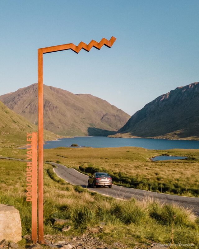
The road winds between mountains and Doo Lough, and the landscape feels incredibly remote. The first time I drove through here, I was honestly in awe. It is one of those drives where you keep wanting to pull over because the view somehow gets better again.
But Doolough is not just a beautiful place.
During the Great Famine, hundreds of starving people were forced to walk from Louisburgh through this valley in search of assistance from the Board of Guardians at Delphi Lodge. Many died during the journey, and a simple stone cross now stands in the valley in memory of those who lost their lives.
I think knowing that history completely changes how you experience the drive. It is still one of the most beautiful places I’ve visited in Ireland, but there is a heaviness to Doolough that deserves to be acknowledged rather than treating it as another scenic photo stop.
If you’re travelling between Connemara and Westport, I would absolutely take this route. Give yourself time to stop at the memorial and take in the valley rather than simply driving straight through.
A Scenic Loop Through North Sligo
Sligo is one of Ireland’s smaller counties, but somehow manages to pack an incredible amount into a relatively small area.
You have the better-known places like Benbulben and Strandhill (a great spot for those interested in surf lessons), but one of my favourite ways to explore the county is to combine the coast around Mullaghmore with the Gleniff Horseshoe.
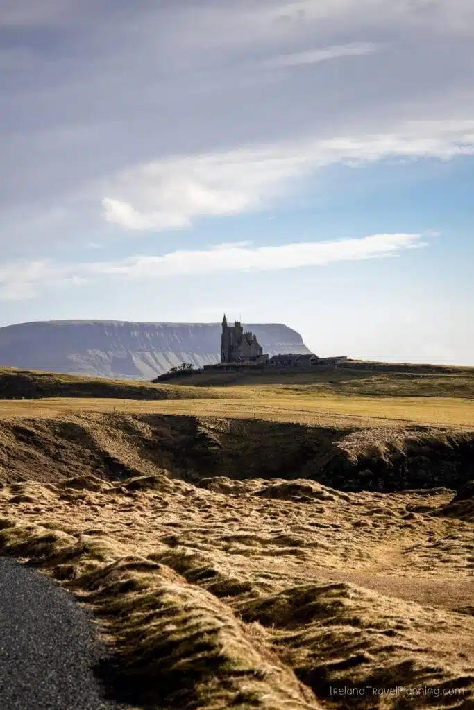
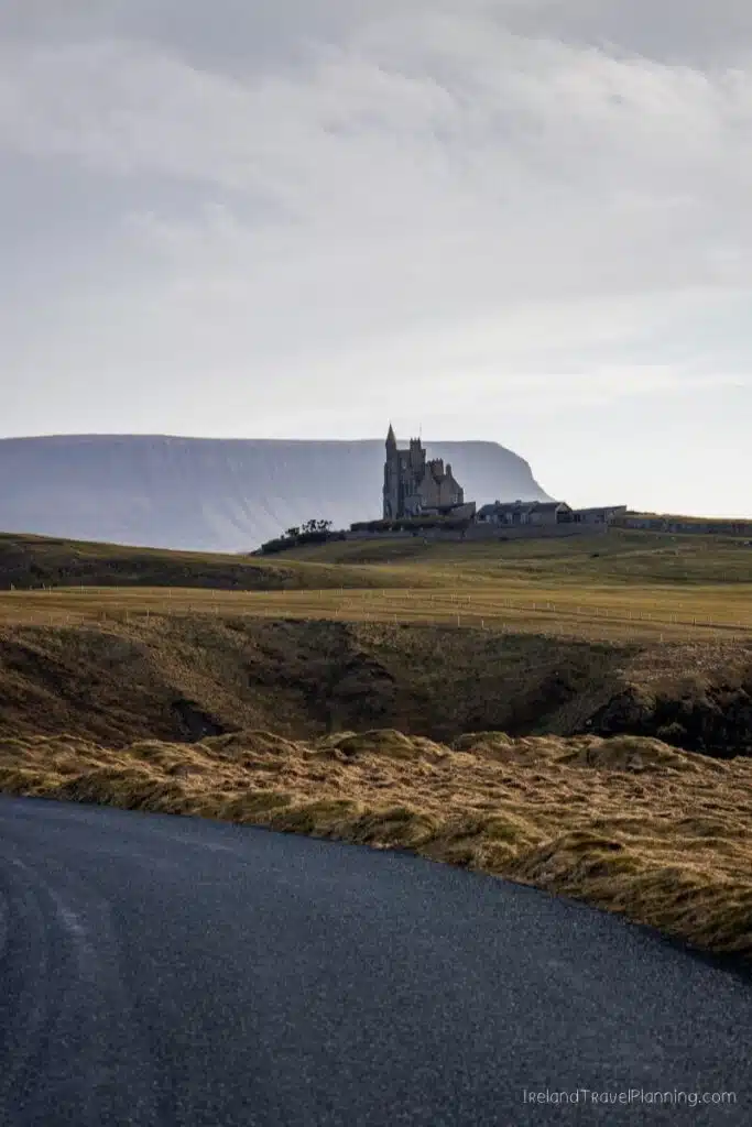
Around Mullaghmore, you’ll find long sandy beaches and a coastal road with views across the Atlantic. One of the most recognisable scenes is Classiebawn Castle sitting beneath the unmistakable shape of Benbulben, although the castle itself is privately owned and can only be admired from a distance.
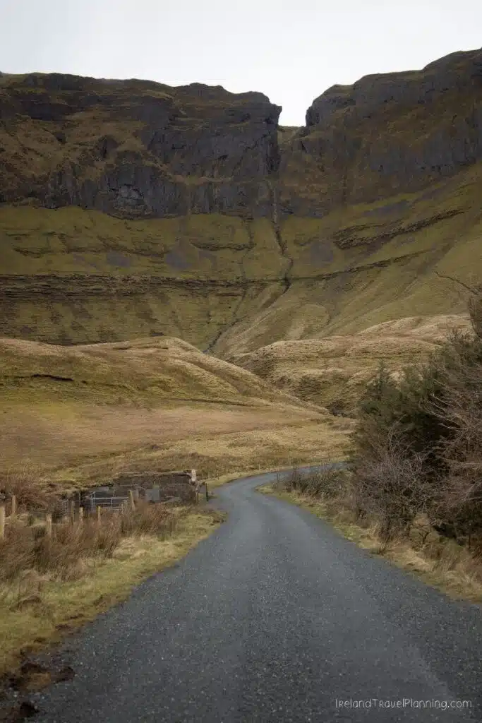
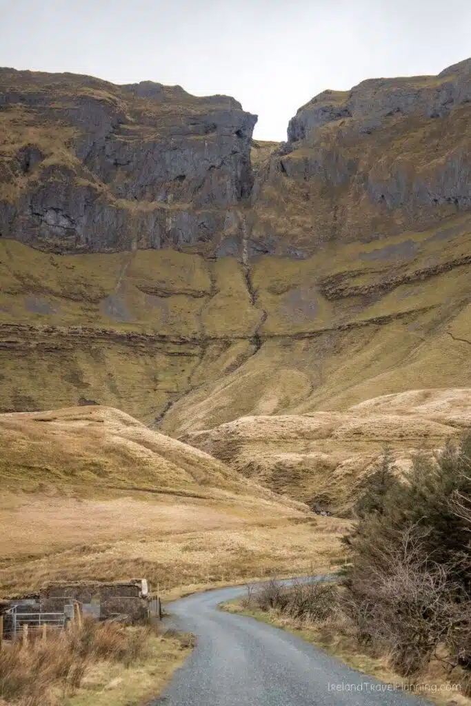
Then you have the Gleniff Horseshoe, a 10-kilometre loop surrounded by the Dartry Mountains. Honestly, parts of it look like they belong on another planet.
What I love about Sligo is how close everything feels. You can go from beaches and Atlantic coastline to mountains and dramatic valleys without spending half the day in the car, which makes it a fantastic place to base yourself for a night and pack a lot into a relatively short amount of time.
Drive in Ireland
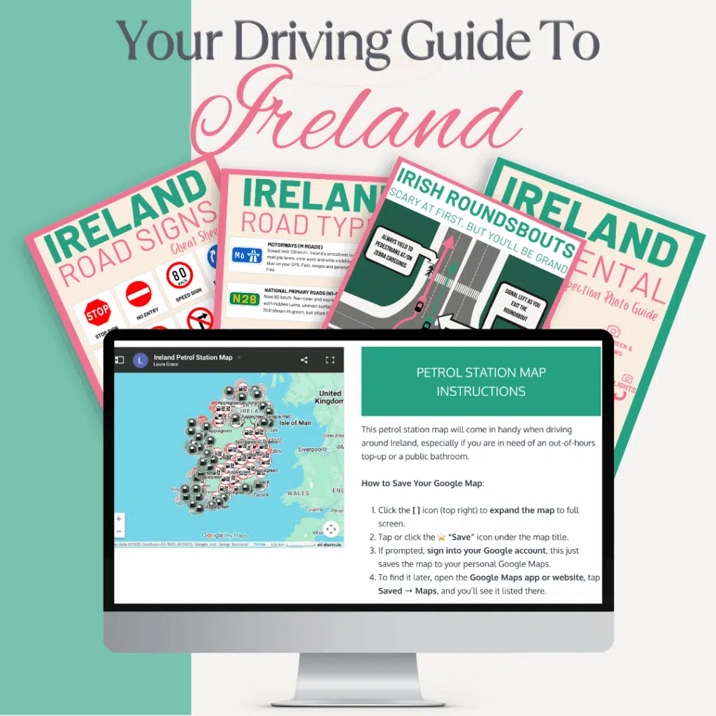
Feeling nervous about driving in Ireland? You’re not the only one… and you don’t have to figure it out alone.
The Ireland Driving Toolkit is a practical guide with clear local advice and no guesswork.
✔️ Custom Google Maps with petrol stations and toll roads mapped out.
✔️ Cheat sheets for roundabouts, road signs and km to miles.
✔️ Straightforward tips on tolls, navigation and what to expect on different road types.
Plus, the small local details most guides skip, but make all the difference once you’re here.
Devil’s Chimney, County Sligo
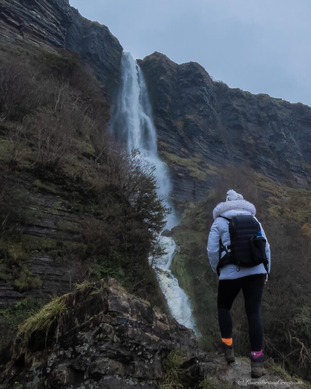
At around 150 metres high, the Devil’s Chimney is generally recognised as the tallest waterfall in Ireland. But there is one fairly important catch… you’re not always guaranteed to see a waterfall.
This is one of the rare occasions where Ireland’s rain is actively doing you a favour.
The waterfall is heavily dependent on recent rainfall, so after a dry spell there may be very little to see. Visit after plenty of rain, however, and the water pours over the cliffs above Glencar Valley.
The walk itself takes you through native woodland towards viewpoints of the waterfall. There are some uphill and steeper sections, but I found it quite manageable with a moderate level of fitness and certainly wouldn’t describe the route I took as a difficult hike.
Its Irish name, Sruth in Aghaidh an Aird, translates roughly to ‘stream against the height’. In strong winds, the water can actually be blown back up over the cliff, which is where the waterfall gets its unusual name.
The Devil’s Chimney is also only a short distance from the much better-known Glencar Waterfall, making it easy to see two completely different waterfalls while exploring this part of Sligo.
ℹ️ Key Information for Devil’s Chimney
Walk: Around 2.5 km for the full loop
Time: Around 1 hour
Fitness: Moderate, with some steeper sections
Best after: Recent rainfall
Good to know: The waterfall can have very little flow during dry weather
Caves of Keash, County Sligo
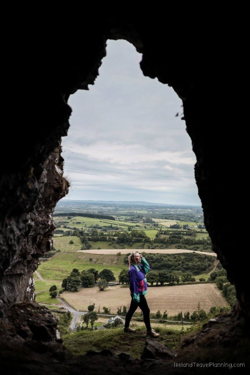
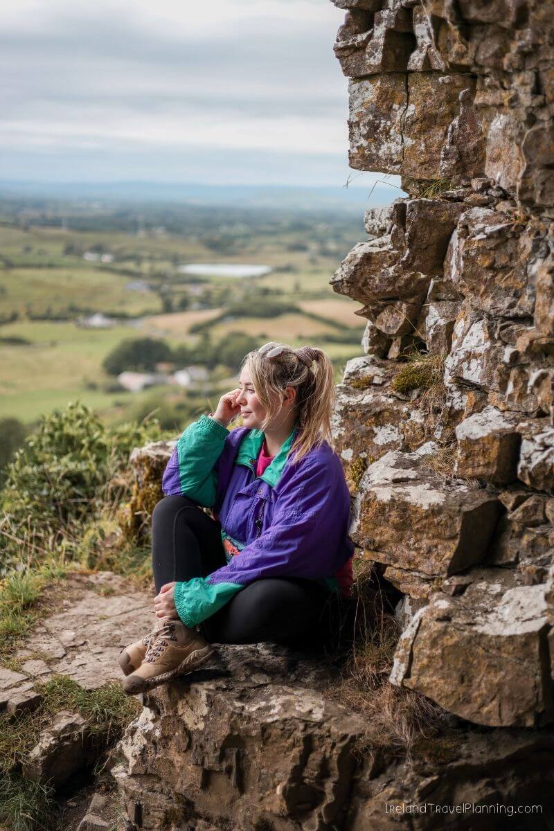
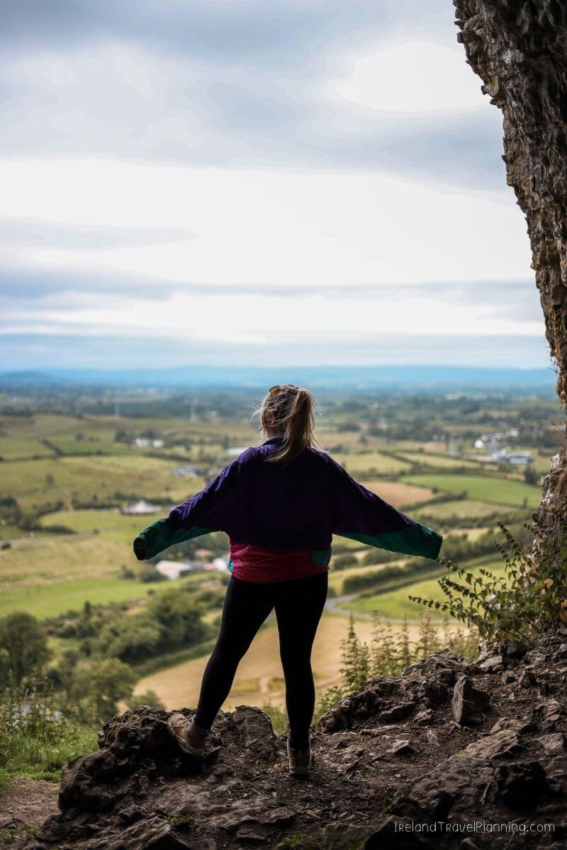
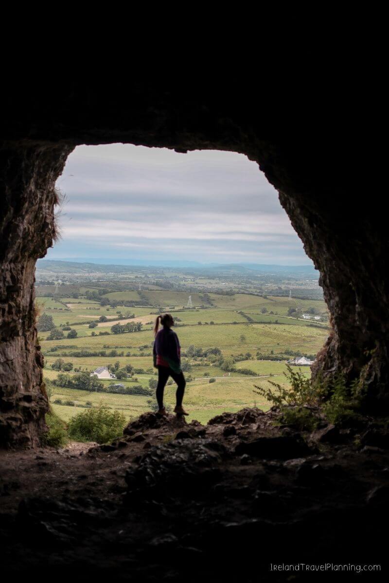
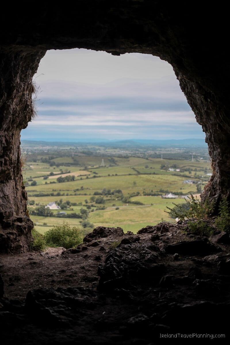
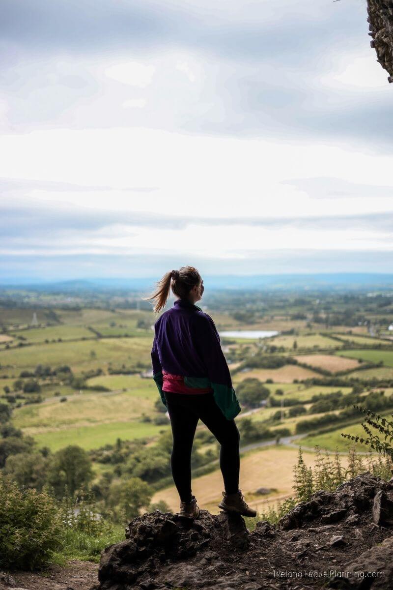
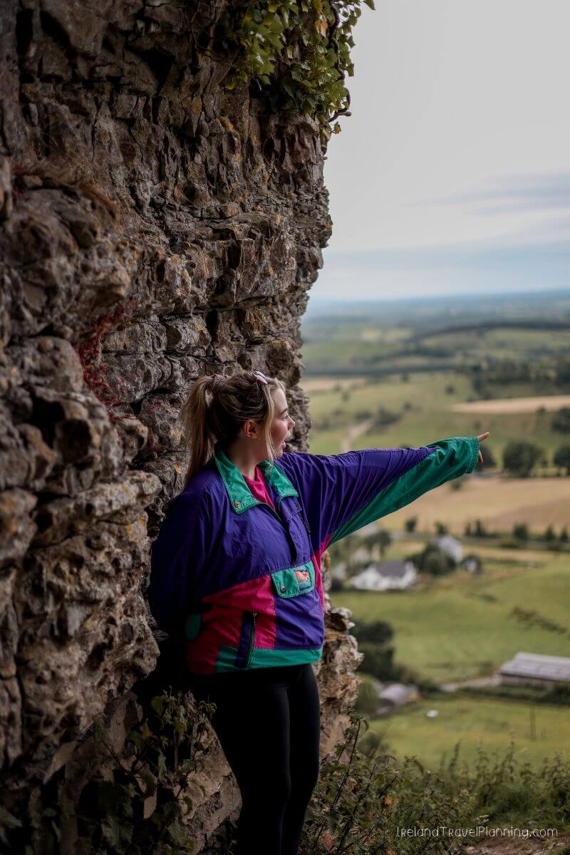
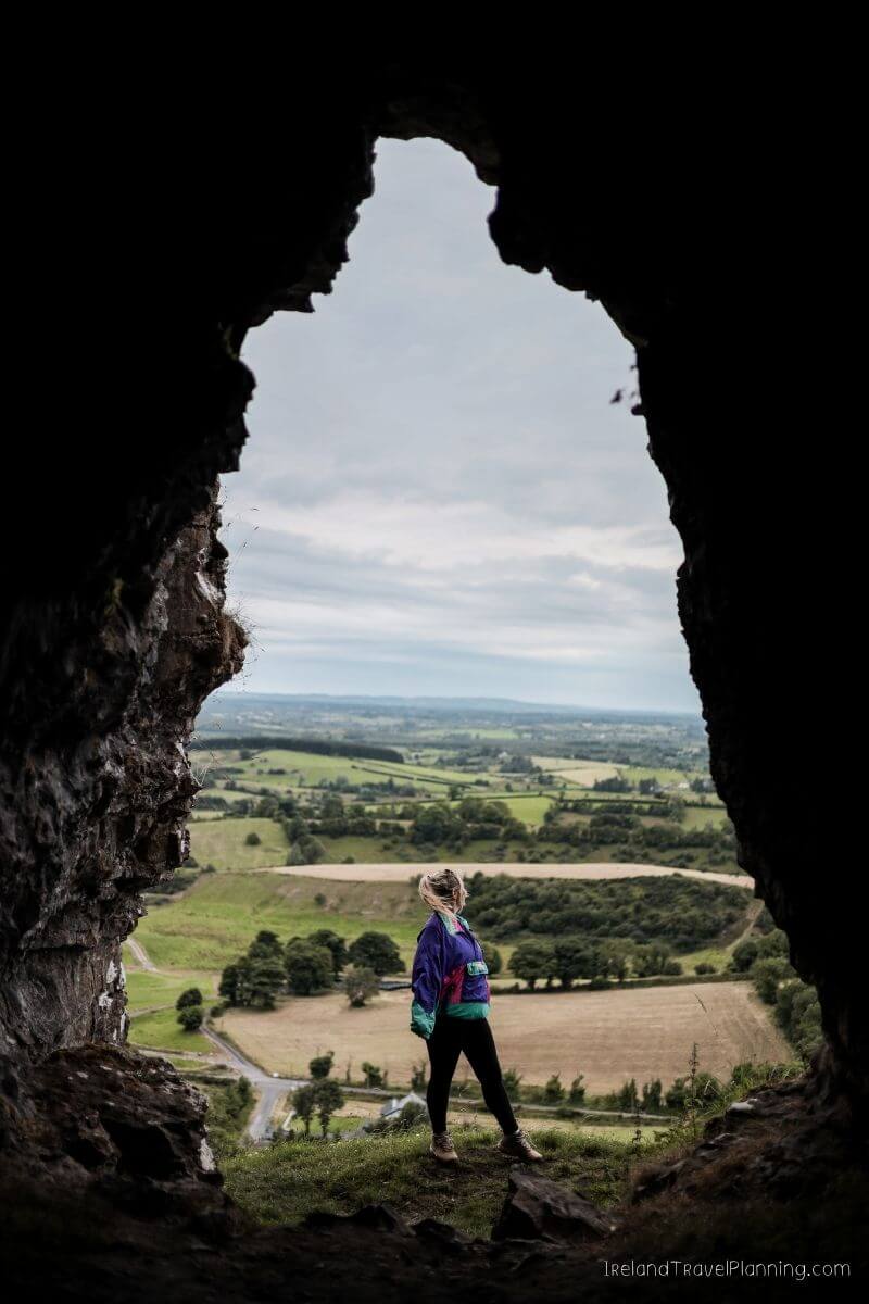
The Caves of Keash are one of those places that look far more difficult to reach than they actually are. You can see the openings scattered across the side of Keshcorran Hill from below, and the first time I visited, I remember thinking the walk up looked much longer than it was.
There are 17 caves along the hillside, although the official marked trail ends at the first cave for safety reasons. The climb is short but steep in places, so I’d still wear shoes with good grip, particularly after rain.
For me, the view is as much a part of the experience as the caves themselves. Once you gain some height, the landscape opens out below you and you get a completely different perspective of this part of Sligo.
The caves are also further inland than many of Sligo’s better-known attractions, such as Benbulben and the coast around Strandhill. That is probably part of the reason many visitors miss them, but it also makes them a lovely addition if you want to see a different side of the county.
ℹ️ Key Information for The Caves of Keash
Official trail: 3.4 km
Time: Around 1 hour
Difficulty: Short but steep in places
Number of caves: 17
Good to know: The official marked route ends at the first cave
Non-touristy Places Along the Wild Atlantic Way: South West Ireland
The south west is home to some of Ireland’s most famous scenery, but there are still plenty of lesser known places hiding between the bigger stops.
From the coast of Clare to the peninsulas of Cork and Kerry, here are some of my favourite hidden gems in this part of the Wild Atlantic Way.
Clahane Coast, County Clare
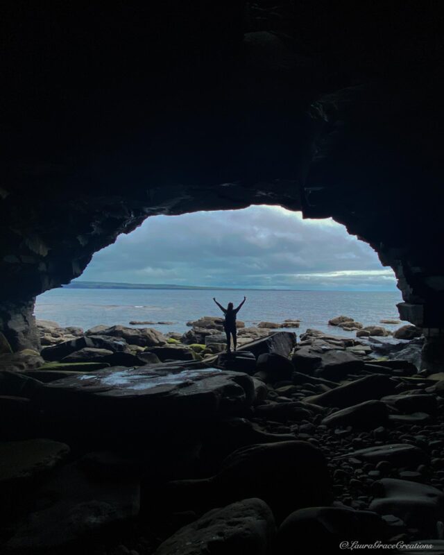
I found the caves at Clahane completely by accident while driving along the Clare coast. We had stopped to admire the view when we noticed them in the distance and, naturally, decided to go and investigate. Although I must admit I have a good eye for these things nowadays 😉
What started as a quick stop turned into us walking along the rocky shoreline and eventually exploring inside the caves. They go much further back than I expected, and we ended up spending a good hour here.
This is one of those places where the conditions matter, though. Access along the shoreline can change with the tide, so I would only explore when the tide is safely out and leave plenty of time to return. The rocks are also uneven, so proper footwear is a good idea.
For me, Clahane is exactly what I love about driving the Wild Atlantic Way. Not every memorable stop needs to be a famous attraction. Sometimes you pull over because something catches your eye and end up finding one of your favourite places from the trip.
Loop Head Peninsula, County Clare
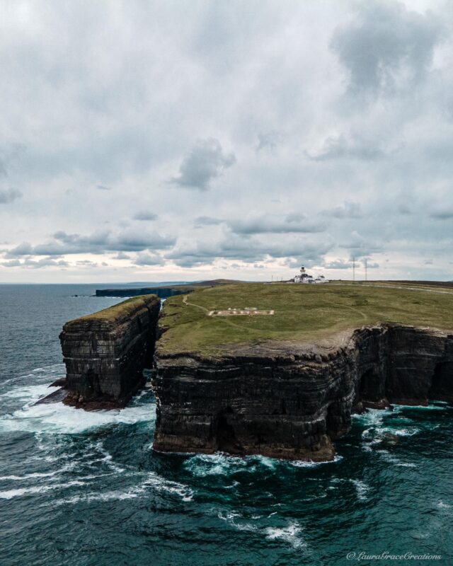
County Clare is home to some of the most famous attractions in Ireland, which means places like the Cliffs of Moher and the Burren tend to get most of the attention. But continue further south and you’ll find one of my favourite parts of the county, the Loop Head Peninsula.
The coastal route takes you past the Kilkee Cliffs, the Bridges of Ross and eventually out to Loop Head Lighthouse at the very tip of the peninsula. The lighthouse itself can be visited during its seasonal opening months, but for me, the wider drive is just as much a part of the experience.
This is another part of Ireland where I wouldn’t rush from one saved pin to the next. There are coastal views and little stop-offs all along the route, so give yourself time to explore rather than treating the lighthouse as the only reason to come out here.
Loop Head was also used as a filming location for Star Wars: The Last Jedi, although honestly, you don’t need to be a Star Wars fan to appreciate the scenery.
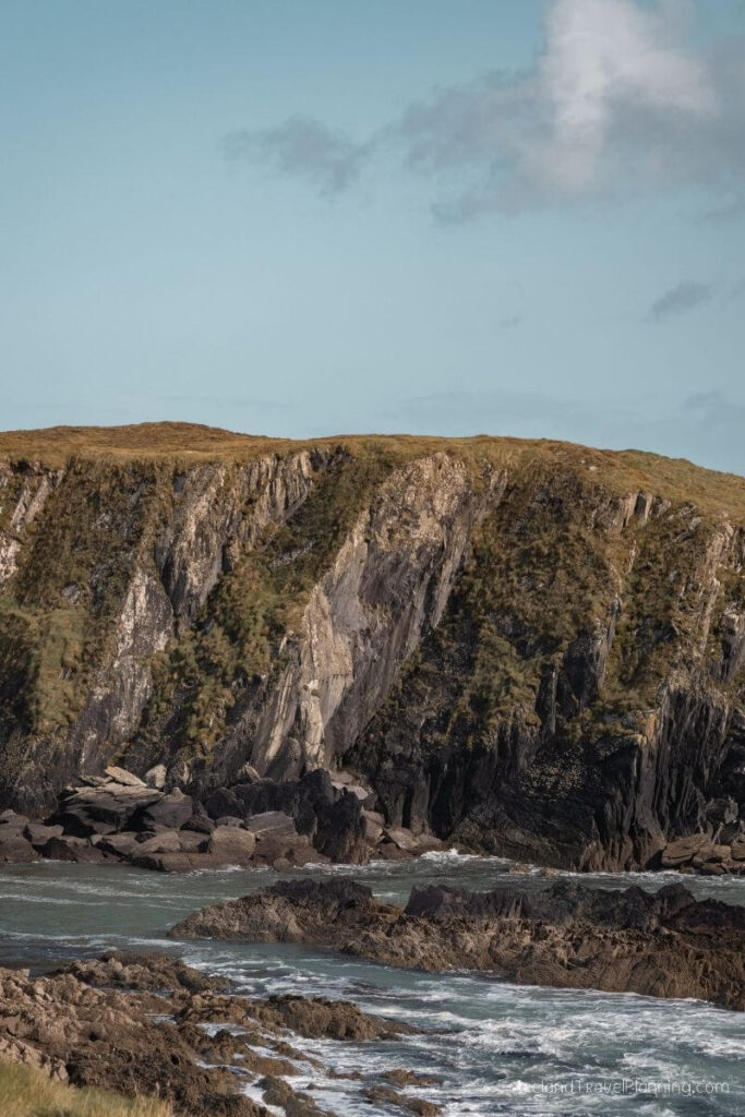
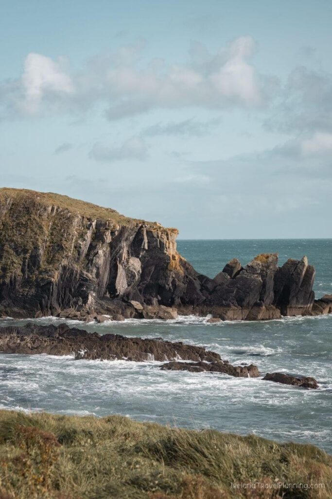
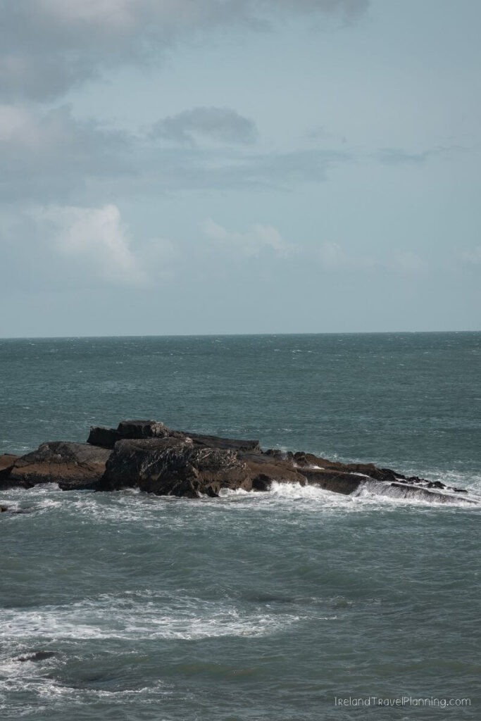
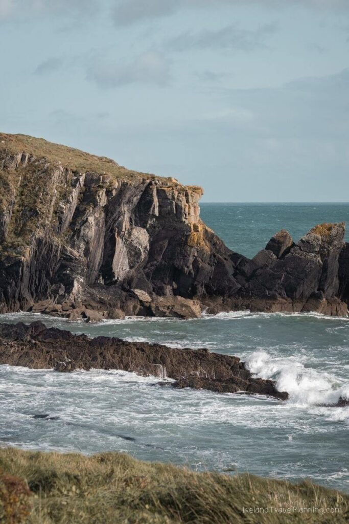
Rocky Bay, County Cork
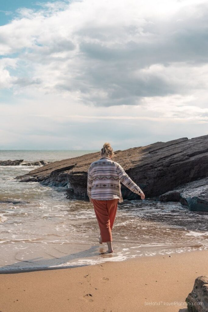
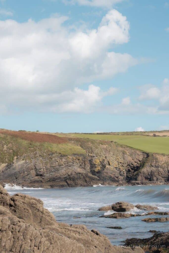
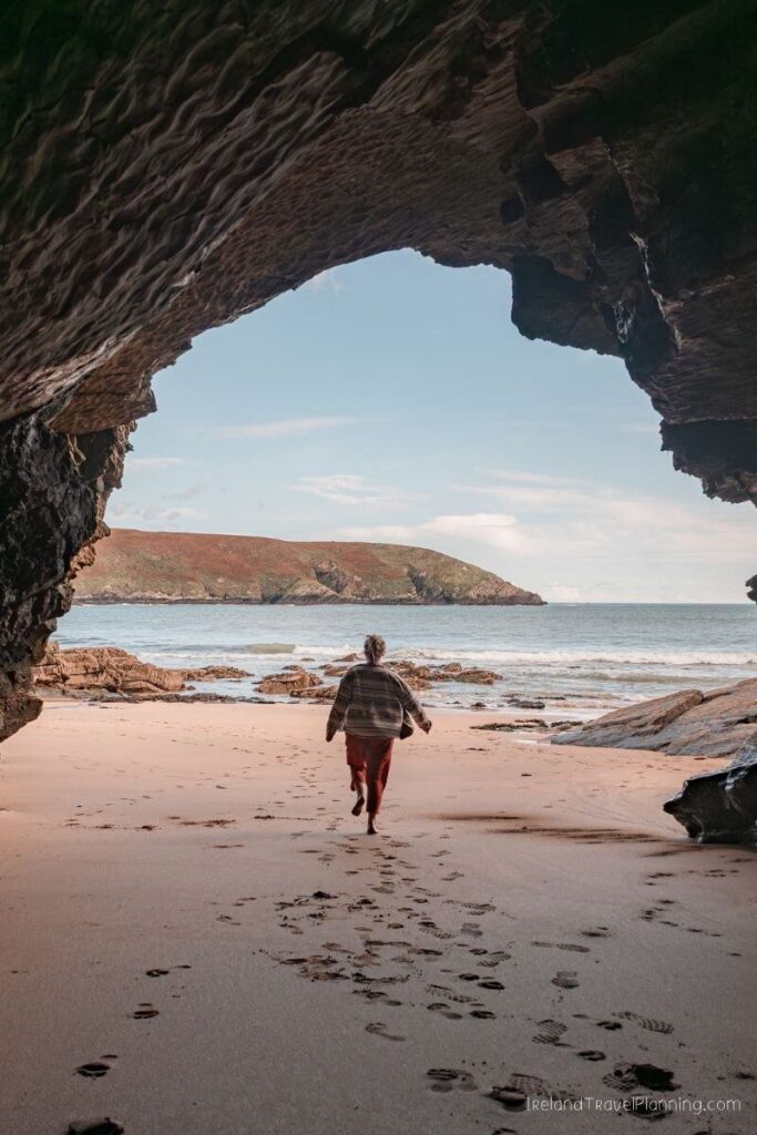
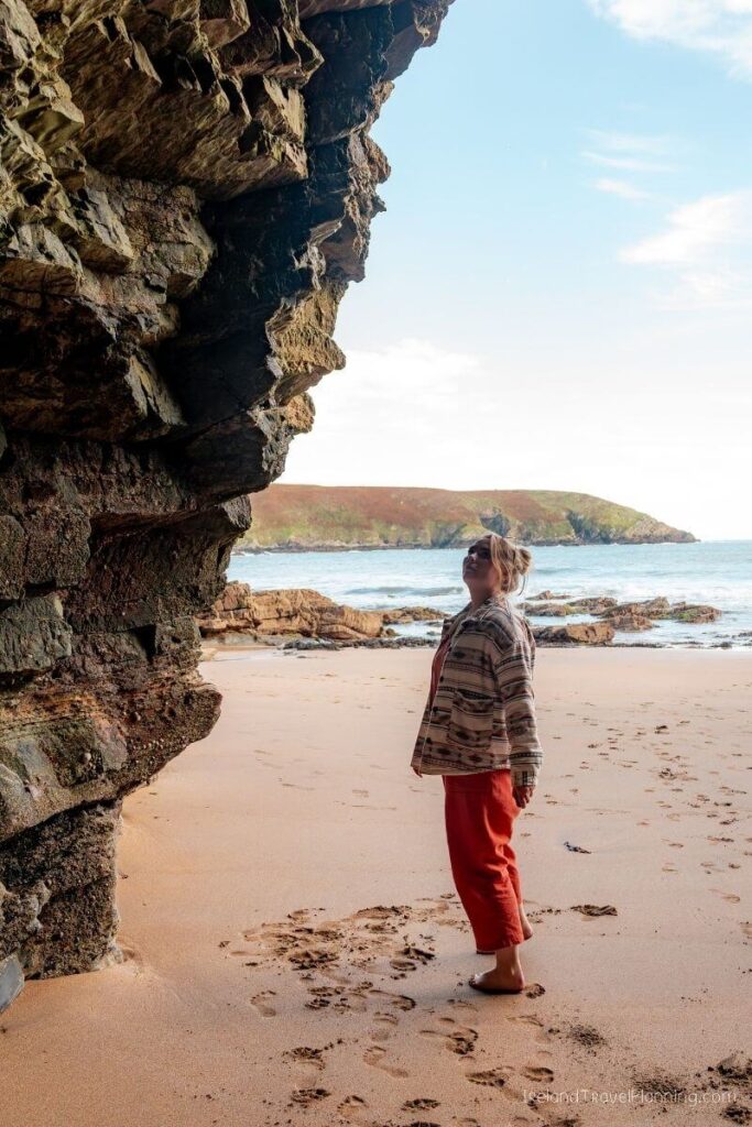
I found Rocky Bay completely by accident while driving around Cork trying to find phone signal. Not exactly the most glamorous discovery story, but it worked out well because it is now one of my favourite beaches in the county.
The beach sits in a small cove surrounded by cliffs, with golden sand and little caves along the coastline. It feels surprisingly tucked away considering it is only around 40 minutes from Cork City.
Parking is quite limited, though, and the beach can get busy during good weather. If you’re visiting on a sunny summer weekend, I’d arrive earlier in the day rather than expecting to easily find a space.
Sometimes losing phone signal works in your favour.

Galley Head, County Cork
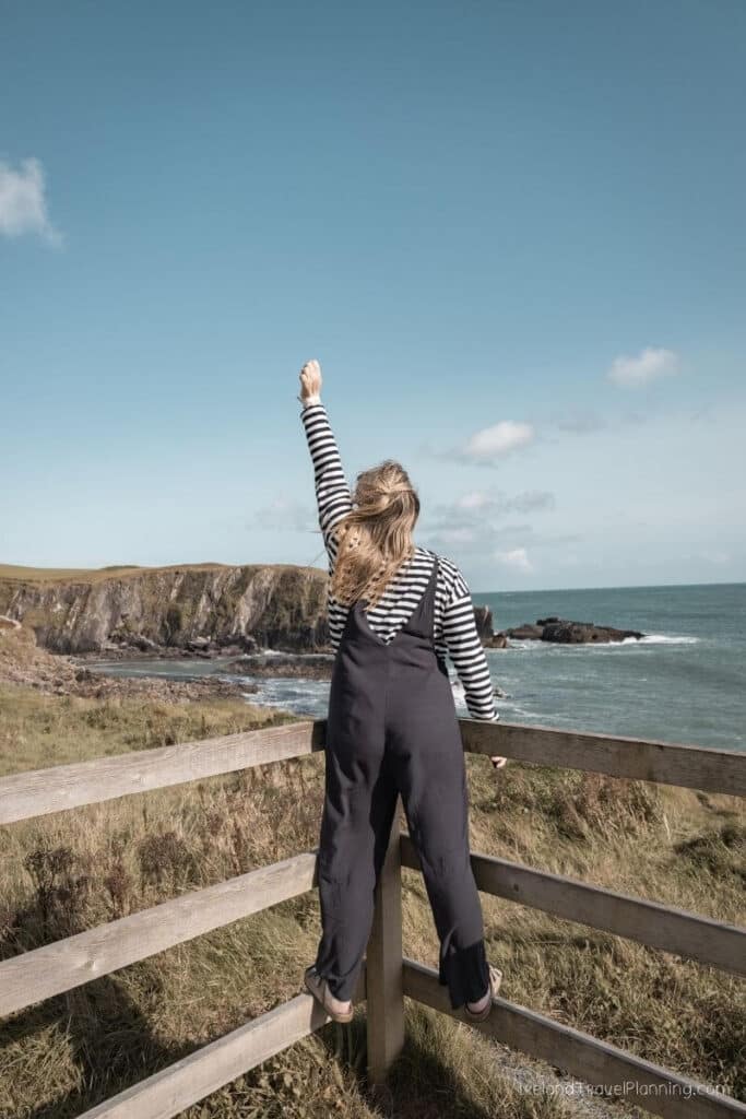
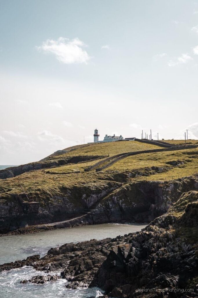
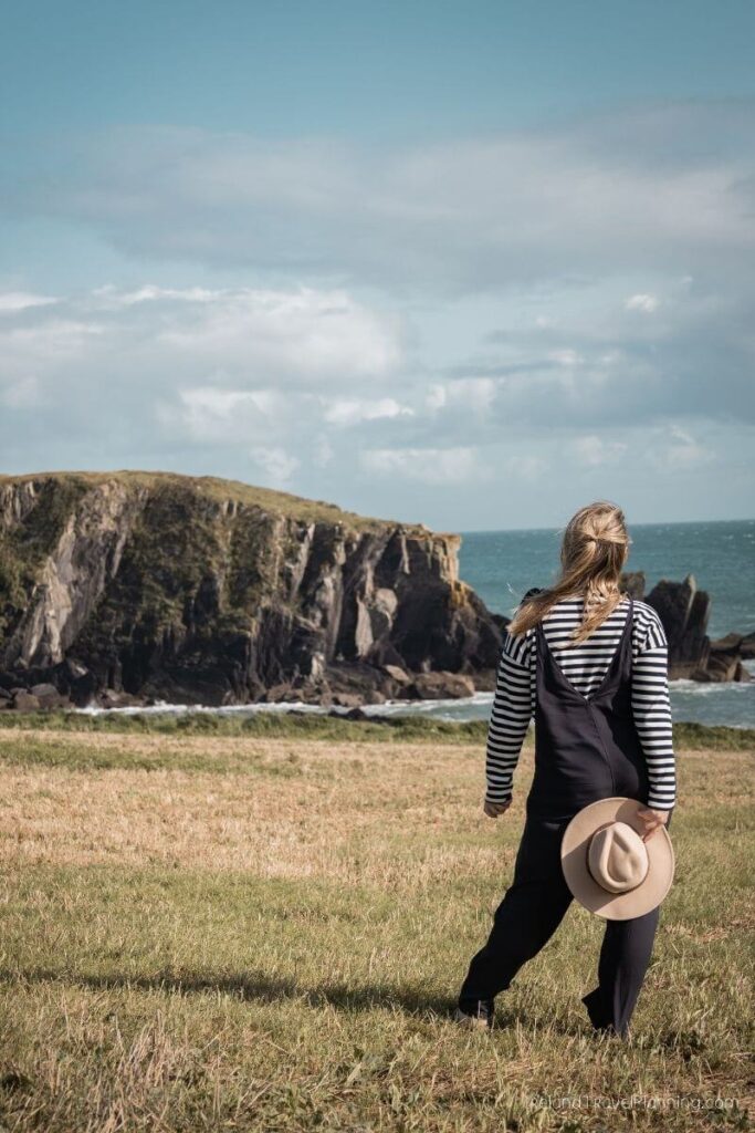
Galley Head is one of those places I found while exploring West Cork without really knowing what I was going to find. And have returned on multiple ocasions since.
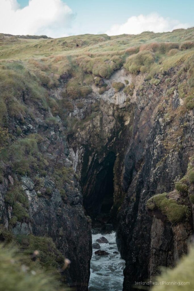
The coastline here is beautiful in its own right, but what surprised me most was coming across a natural feature that I can only describe as a smaller, slightly less perfect version of the famous Wormhole on Inis Mór. An oval-shaped opening in the rock drops towards the sea below, and I remember being completely fascinated by it.
This isn’t a well-known attraction with a visitor centre or a perfectly marked trail, and that was part of what made discovering it so memorable for me.
The wider Galley Head area is also home to its distinctive lighthouse, which sits high above the Atlantic. While the lighthouse itself is not a standard visitor attraction, the former lightkeeper’s cottages can be booked for overnight stays.
For me, though, this is one of those places that stands out because I wasn’t expecting to find anything in particular. I went exploring and found something I still think about years later.
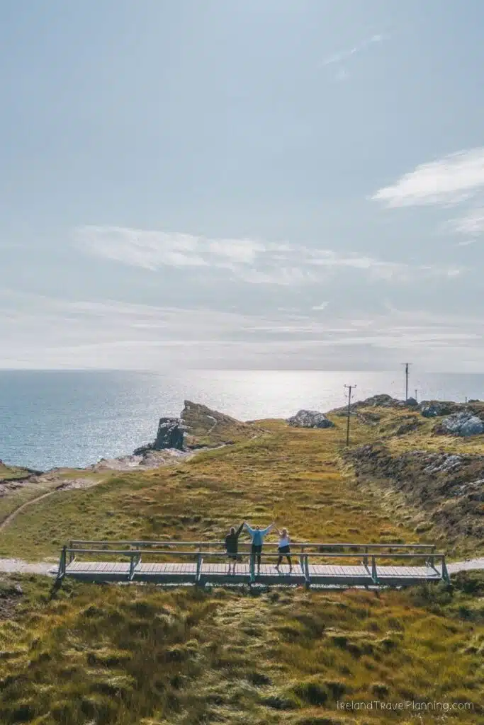
Sheep’s Head Peninsula, County Cork
West Cork has three main peninsulas, but Sheep’s Head often gets overlooked in favour of the much better-known Beara and Mizen Peninsulas.
And honestly, that is part of what I love about it.
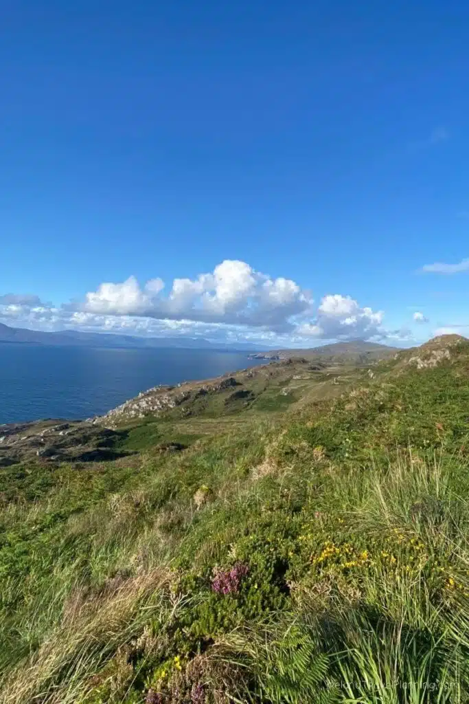
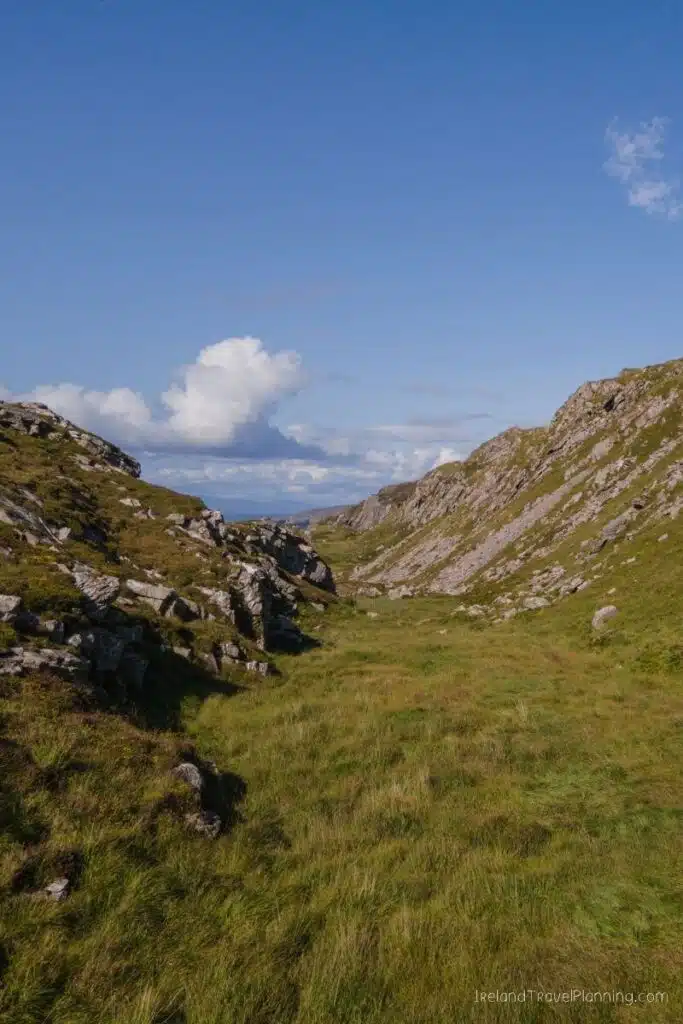
The drive out towards the tip of Sheep’s Head takes you through some incredibly remote coastal scenery, although the roads become narrow in places. If you’re comfortable driving on smaller Irish roads, the journey is very much part of the experience.
One of the best ways to explore the peninsula on foot is the Sheep’s Head Lighthouse Loop. The full route is around 3.7 kilometres and takes roughly two hours, leading you out towards the lighthouse at the end of the peninsula.
The full loop does include rougher ground and sections close to the cliff edge, so it isn’t simply an easy paved stroll. If you want a gentler option, you can follow the southern route towards the lighthouse and return the same way rather than completing the more difficult northern section.
I've always loved Sheep's Head because it feels quieter than some of West Cork's better-known coastal routes. If you're looking to get off the beaten track in Ireland, this peninsula is one of my favourite places to do it.The scenery is dramatic, the drive is beautiful and there is something about reaching the end of the peninsula that makes it feel like you’ve properly escaped for a while.

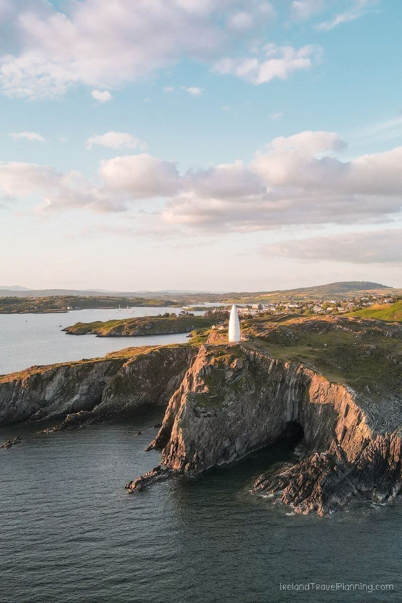
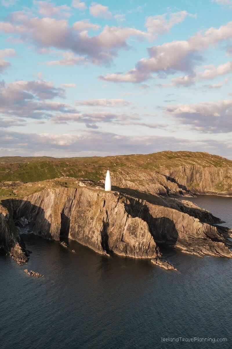
Baltimore Beacon, County Cork
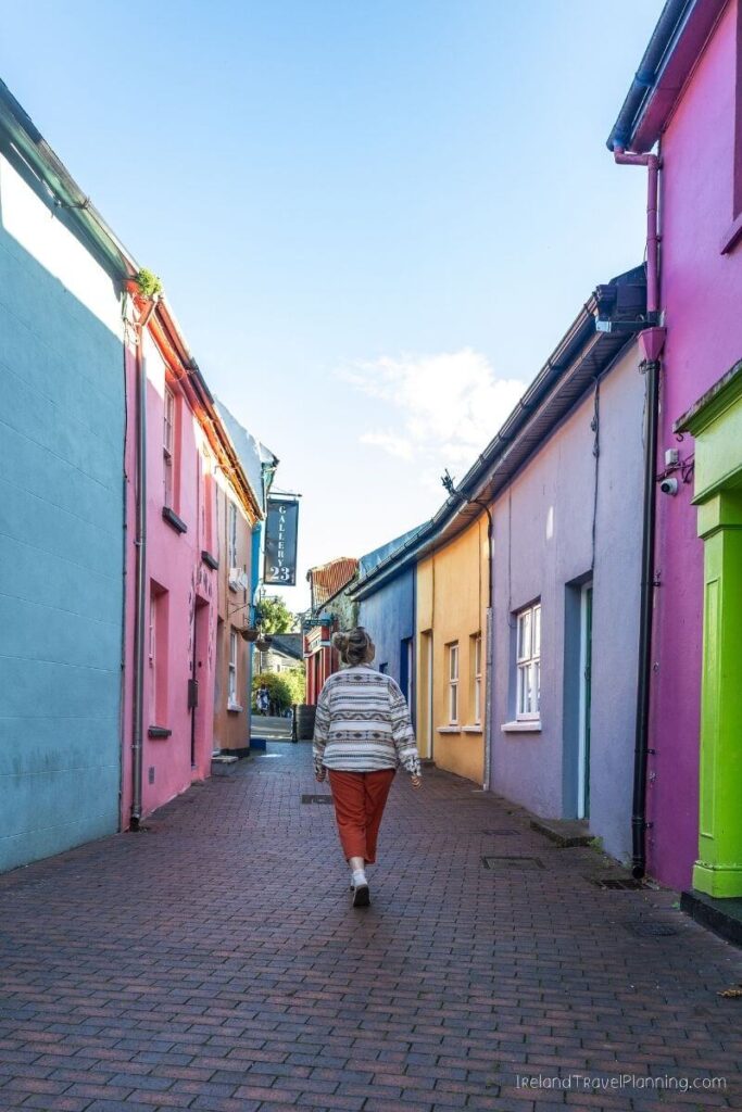
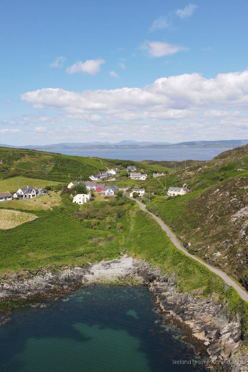
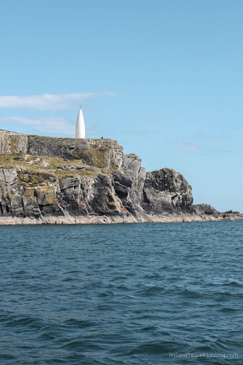
If you find yourself in the colourful harbour village of Baltimore, it is worth making your way out to one of West Cork’s most recognisable landmarks.
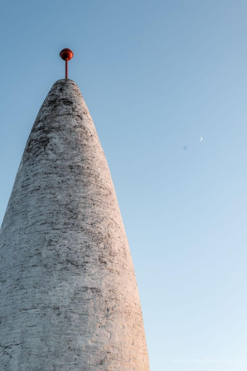
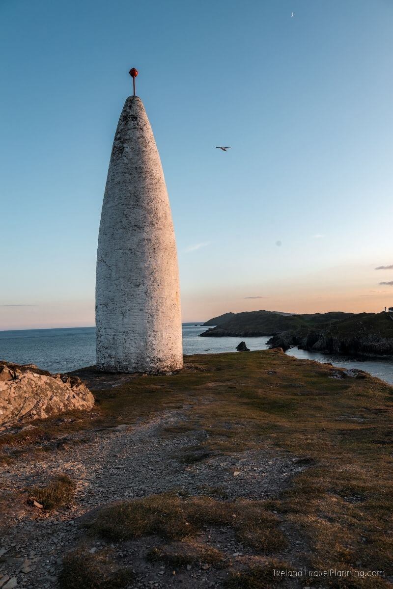
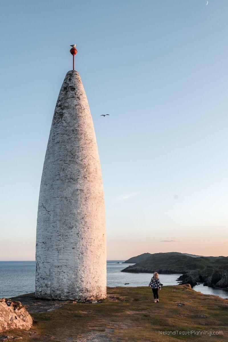
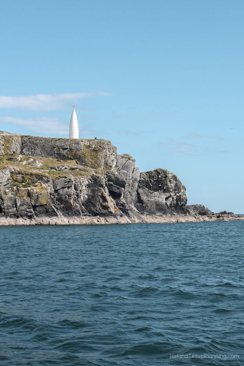
Known locally as Lot’s Wife, Baltimore Beacon sits high above the entrance to the harbour, with views across the surrounding coastline and towards the islands offshore. You can walk out from the village or drive closer and take the much shorter walk up to the Beacon.
I visited around sunset, and honestly, that would be my pick if the weather is on your side. The views are beautiful at any time of day, but watching the light change across the harbour made it feel particularly special.
Baltimore is also one of the main gateways to the islands off West Cork, including Cape Clear and Sherkin Island. So, if you’re already spending time here before or after an island trip, the Beacon is an easy addition.
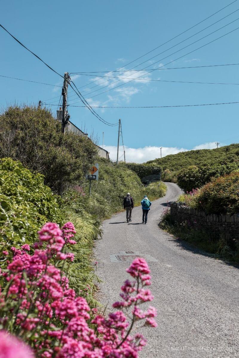
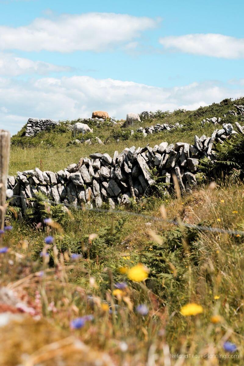
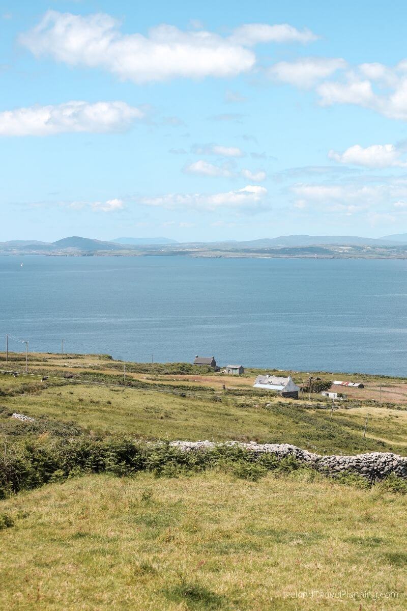
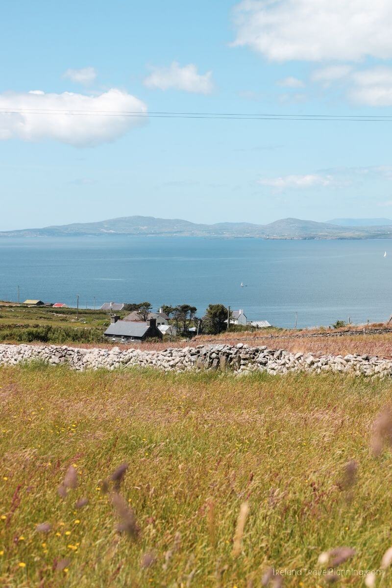
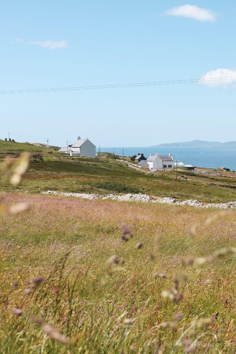
Cape Clear Island, County Cork
If you want to experience one of Ireland’s islands without the crowds you might find on some of the better-known Aran Islands, Cape Clear is a lovely alternative.
Sitting off the coast of West Cork, the island feels incredibly peaceful. There are quiet roads, coastal views and that lovely sense of stillness you get when there is nowhere you particularly need to rush to.
You can reach Cape Clear by ferry from Baltimore, and some trips also include a boat tour around nearby Fastnet Rock, known as the ‘Teardrop of Ireland’.
Just don’t do what I did and miss the boat.
Yes, I somehow managed to miss the sailing out to Fastnet Rock, which means I now have to go back. A terrible hardship, obviously.
Even without seeing Fastnet, I loved my time on Cape Clear. Compared with Ireland’s busier island destinations, it felt much quieter and more remote, while still being a really enjoyable day trip.
If your idea of a good day involves coastal scenery, peace and quiet and simply wandering around without a huge list of attractions to tick off, Cape Clear is a lovely place to explore.
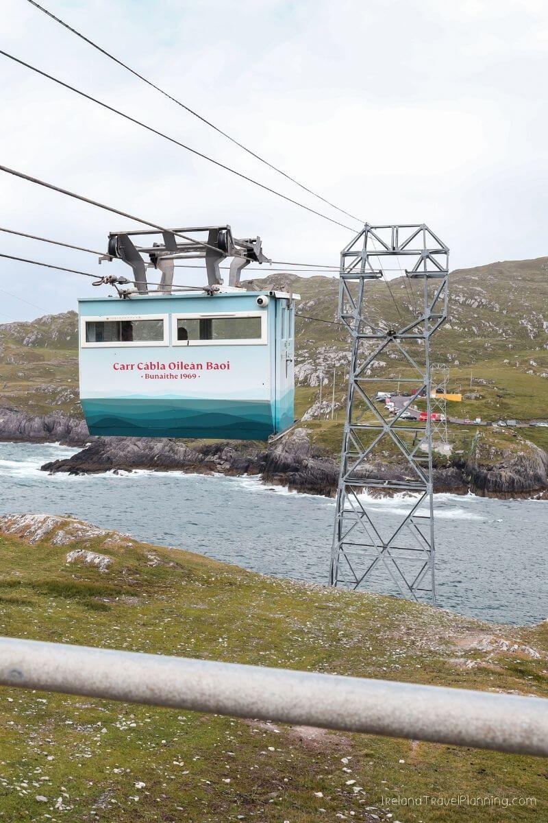
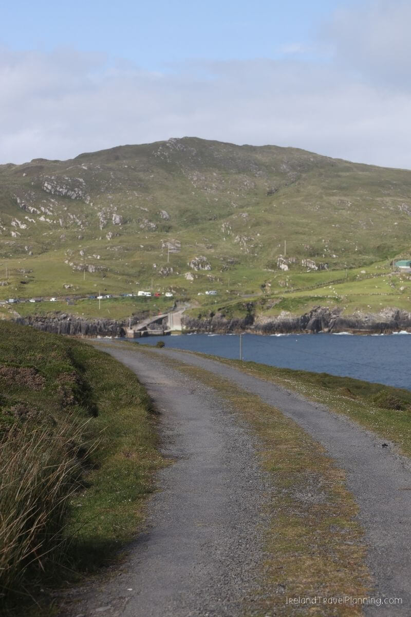
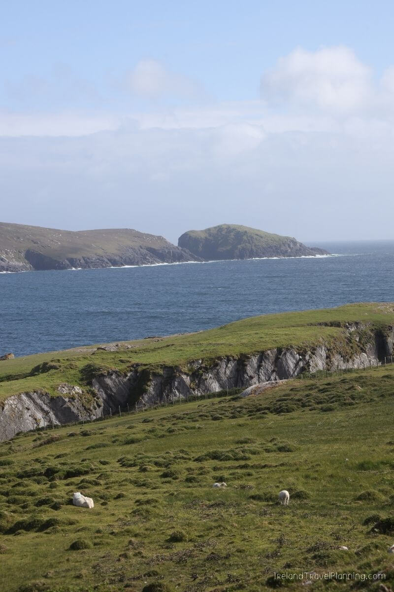
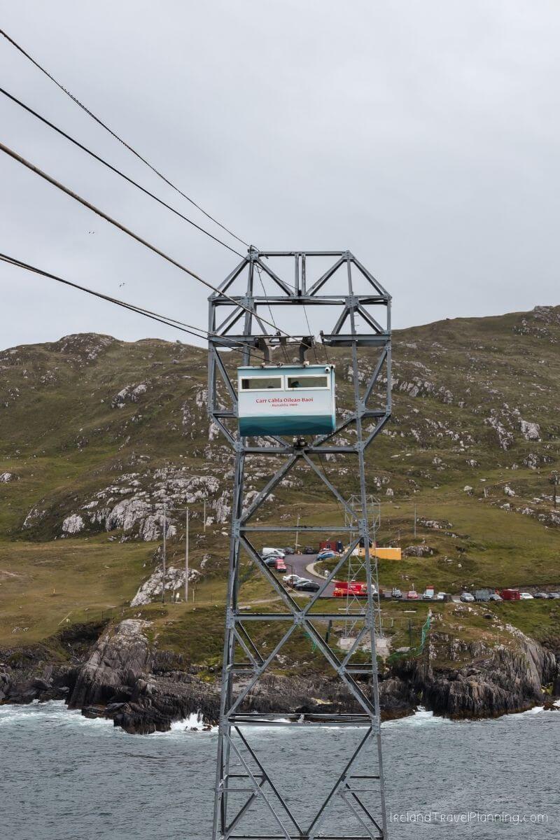
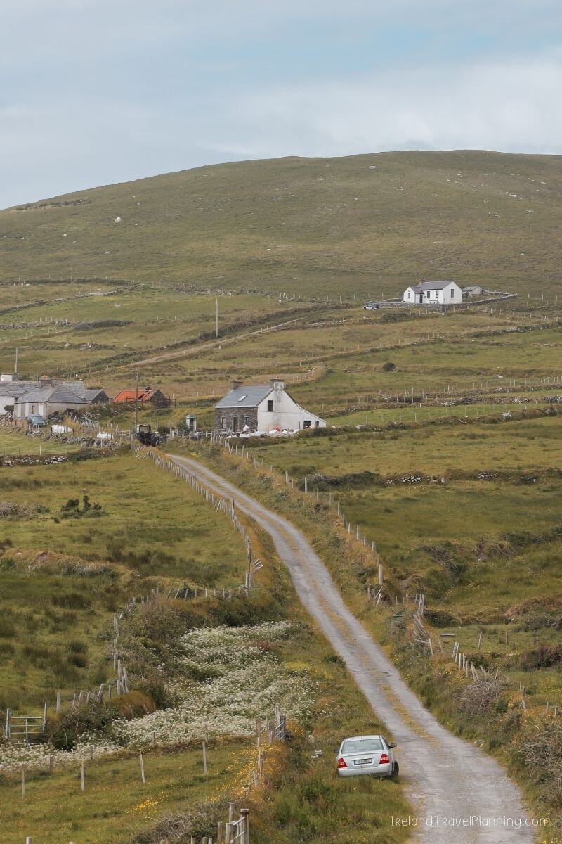
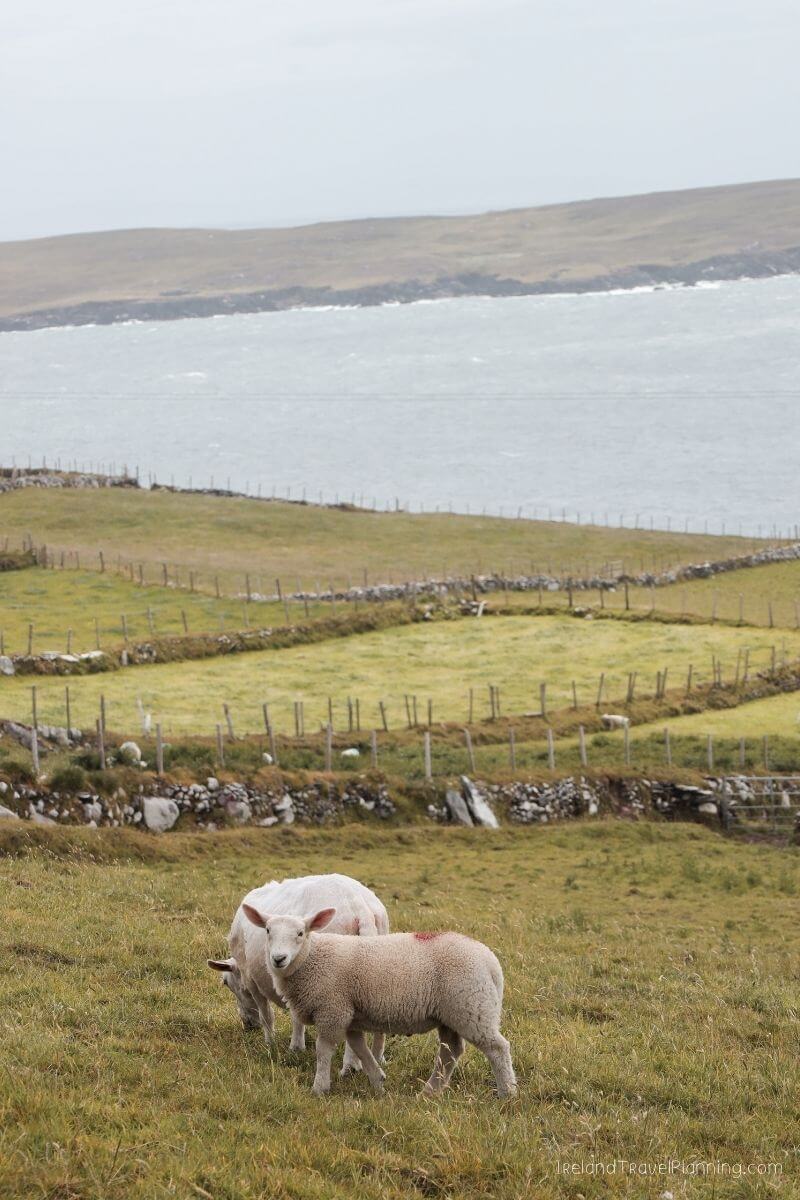
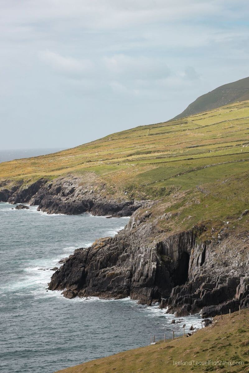
Dursey Island, County Cork
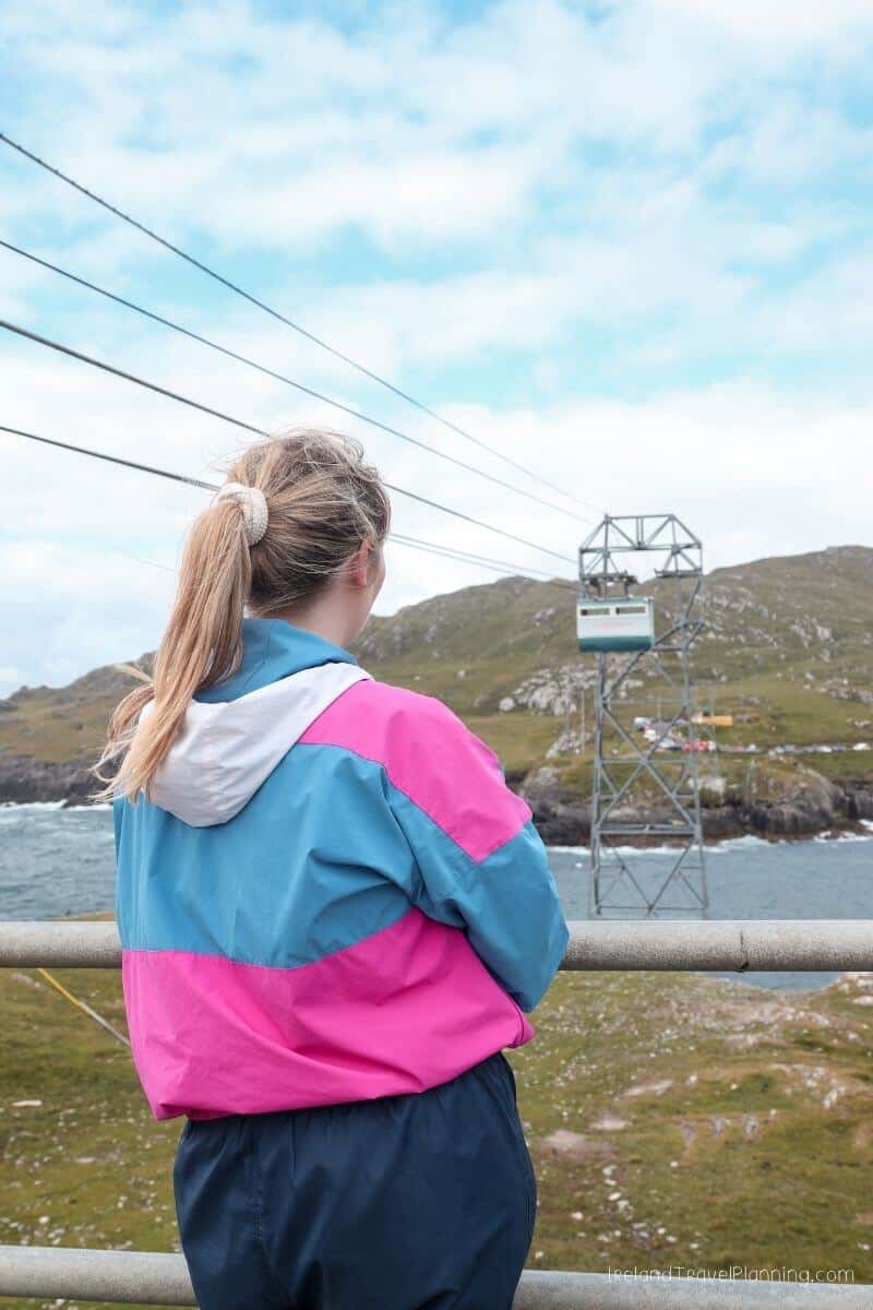
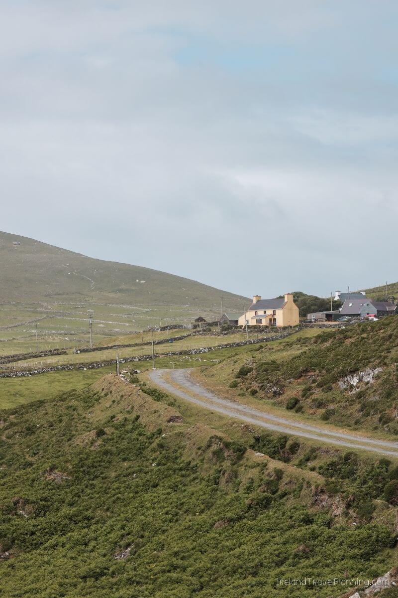
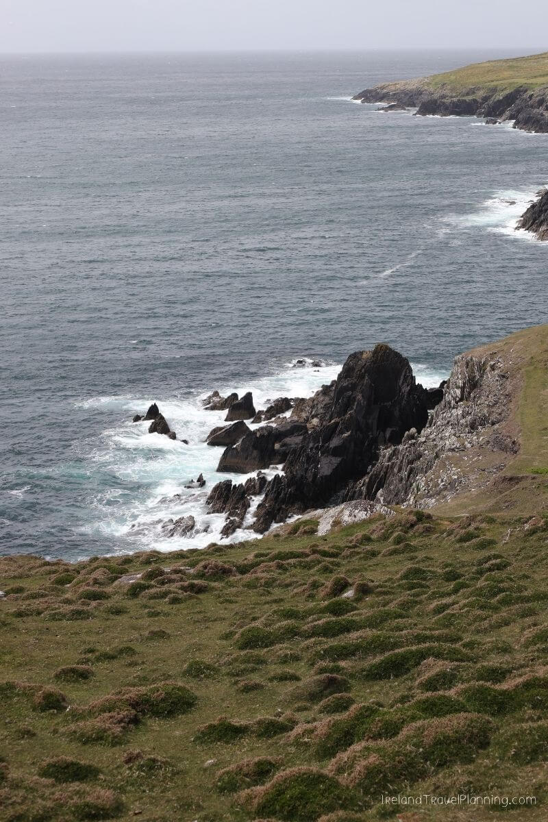
At the very end of the Beara Peninsula, you’ll find one of the more unusual ways to reach an Irish island… by cable car.
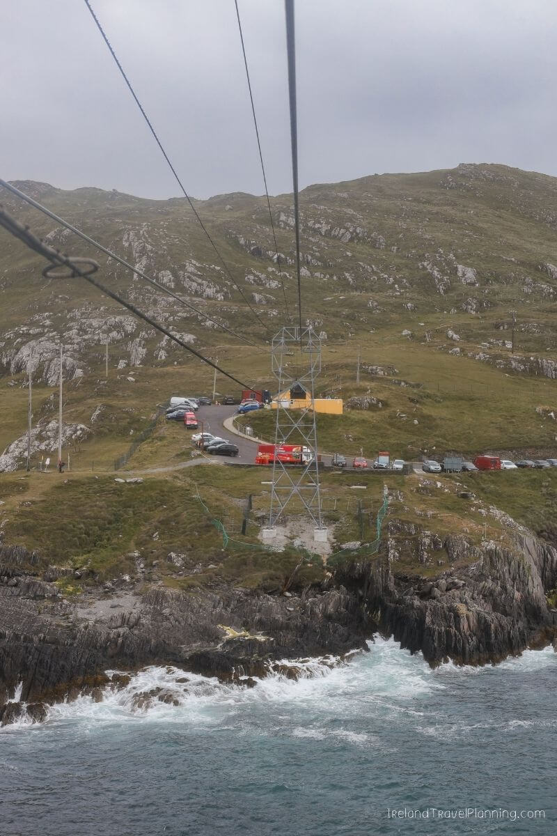
Dursey Island is connected to the mainland by Ireland’s only cable car, which crosses the open water of Dursey Sound. The journey itself is part of the experience, particularly when you look down and realise there is quite a bit of Atlantic beneath you.
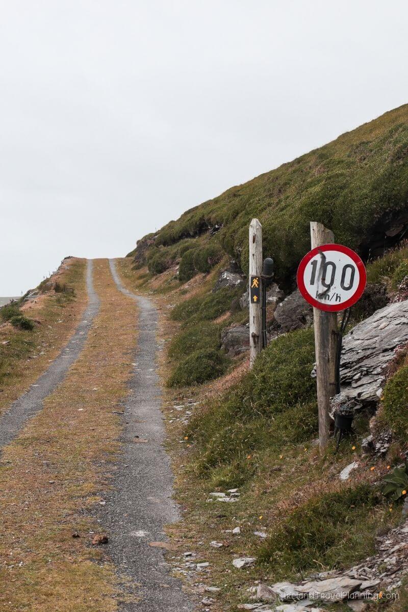
Once you reach the island, things are very simple. Dursey is a place for walking, coastal scenery and slowing down rather than rushing between a long list of attractions.
The cable car has limited capacity, so I’d arrive early during busier periods rather than turning up with a tightly packed schedule. It also closes for a short lunch break each day, so check the current timetable before making the long drive out along the Beara Peninsula.
I’d also come prepared with anything you need for your visit. This is a remote island, so there are no shops or facilities once you leave the mainland.
Honestly, though, that remoteness is a big part of the appeal.
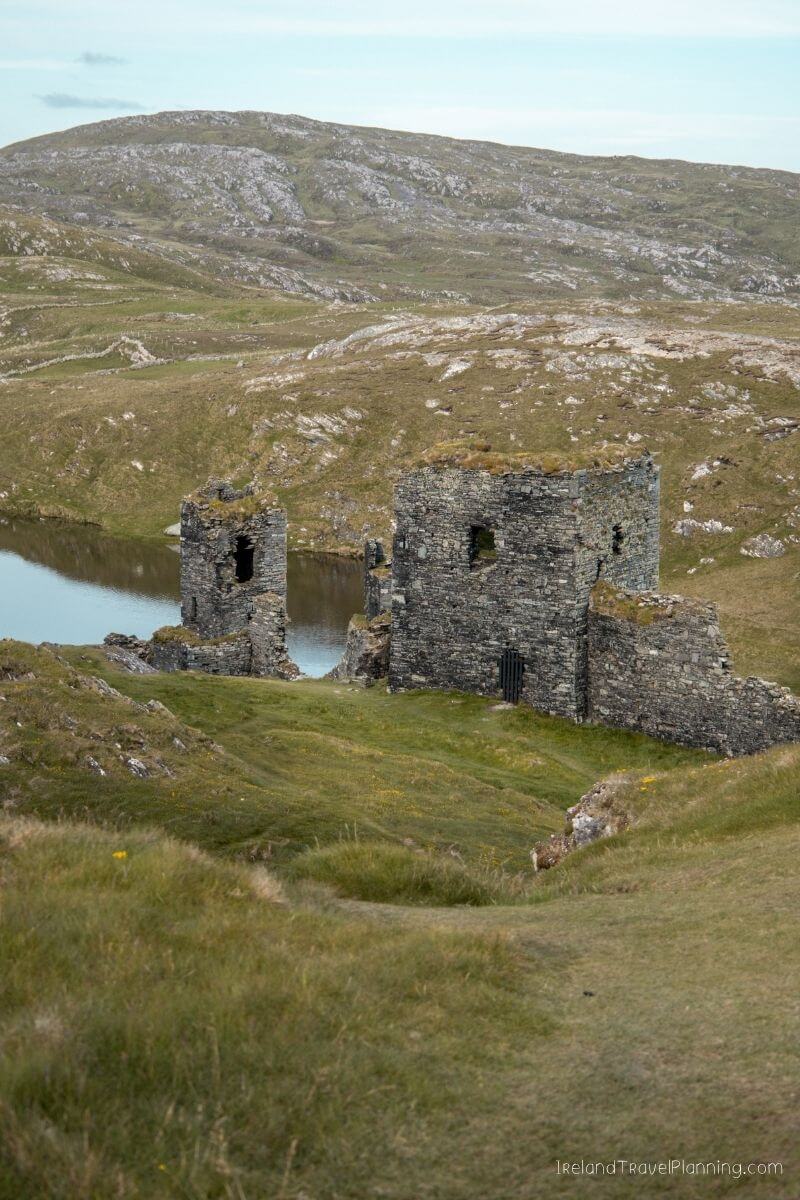
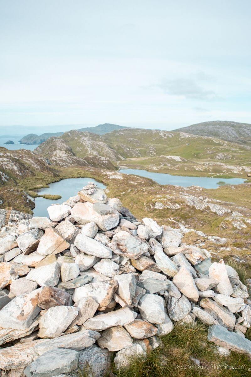
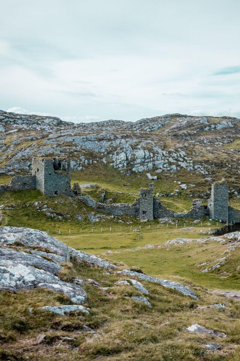
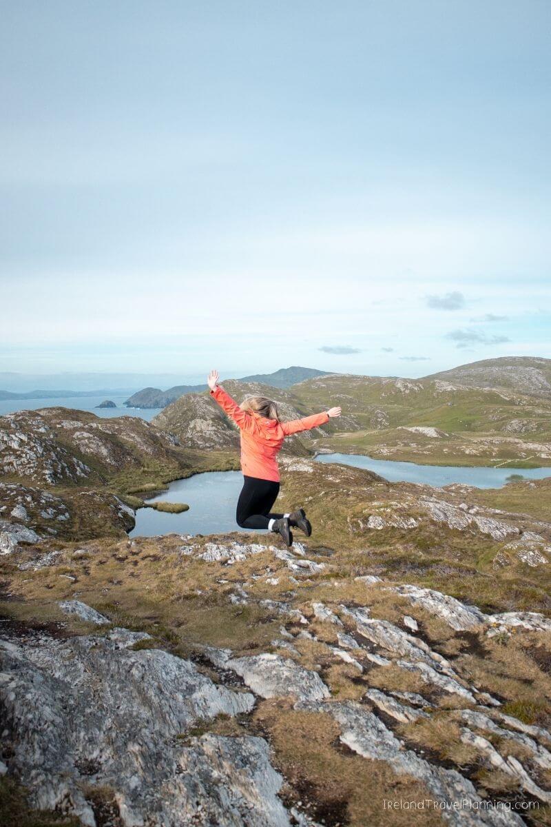
Three Castle Head, County Cork
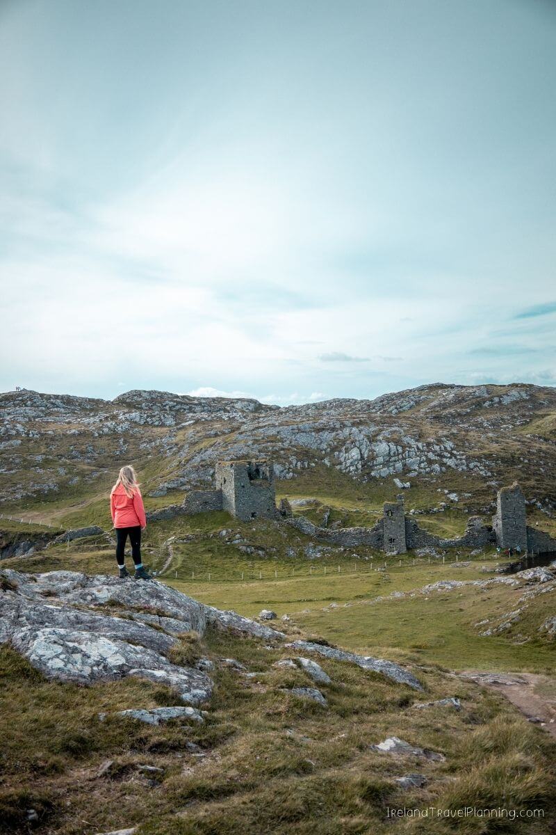
Three Castle Head is one of those places where I almost don’t want to show people the photos beforehand, because the first view is part of what makes it so special.
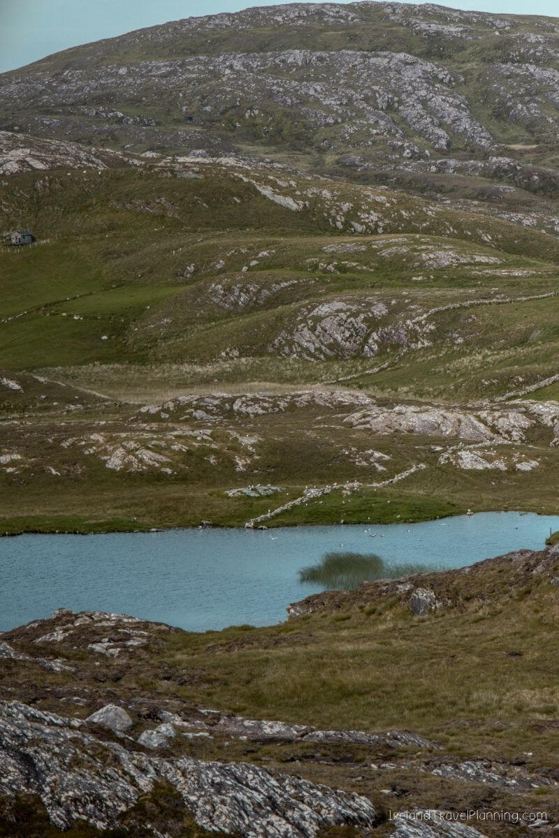
You walk across what initially looks like a fairly ordinary stretch of farmland before suddenly reaching the top and seeing the ruins of Dunlough Castle sitting between a mountain lake and the Atlantic.
Honestly, it is incredible.
The castle dates back to the 13th century, but for me, the setting is what makes this place so memorable. I’ve visited some beautiful ruins around Ireland, but very few sit in a landscape quite like this.
And I’ll be honest, I find it so hard to choose between Mizzenhead and Treecastlehead. Both are such different experiences but equally as beautiful.
The walk to the castle is relatively short, but the ground can be uneven and muddy, so wear decent shoes. You can also choose to walk beyond the castle, although this walk is a lot steeper and difficult in places, but it's definitely worth the effort because you end up with 360 views of all of Cork's main peninsulas.
You are also crossing private land on a working sheep farm, so stick to the marked route, leave gates as you find them and don’t bring dogs.
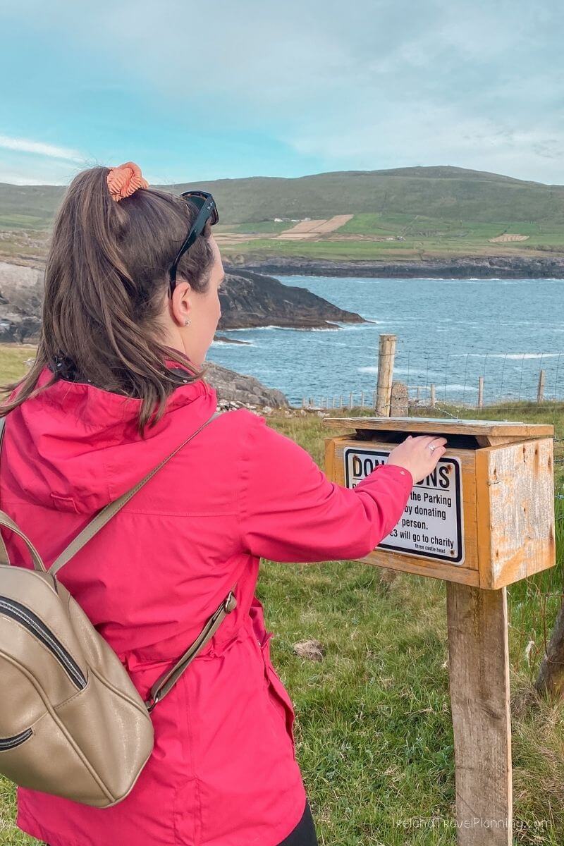
The landowners maintain access for visitors, so bring some cash for the requested contribution towards the car park and trail.
Kerry Cliffs, County Kerry
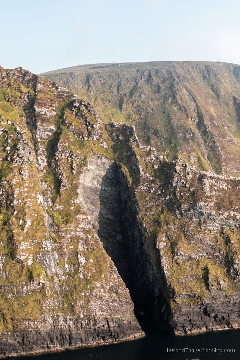
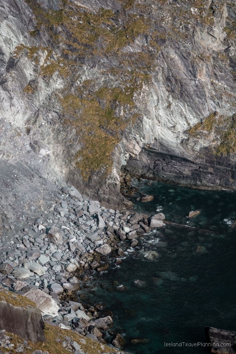
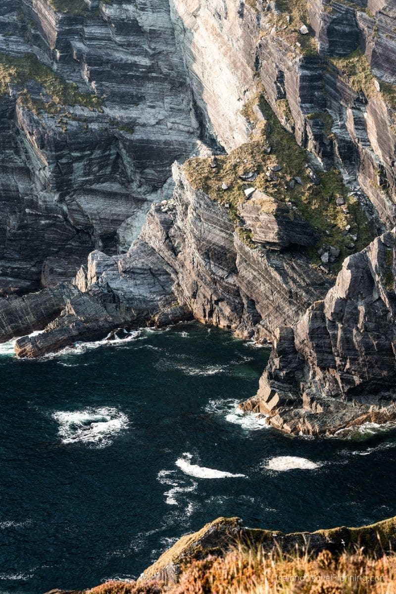
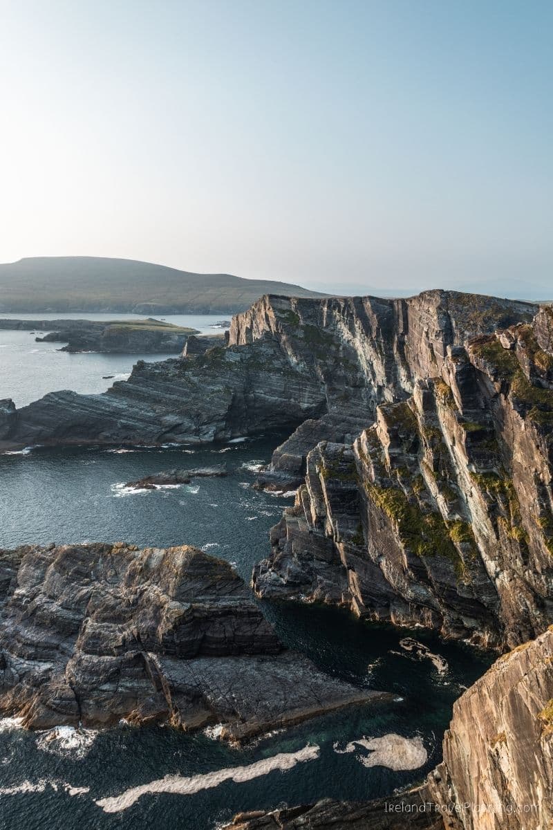
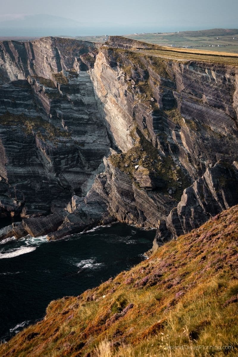
The Cliffs of Moher may be Ireland’s most famous cliffs, but honestly, I think the Kerry Cliffs deserve far more attention than they get.
Located along the Skellig Ring near Portmagee, the cliffs rise dramatically above the Atlantic, with views towards the Skellig Islands and Puffin Island on a clear day. I remember being completely blown away by the scenery here, and I’d personally choose these views over the Cliffs of Moher.
Unlike some of Ireland’s more remote cliff walks, the Kerry Cliffs are set up as a visitor attraction with a defined walking route and viewing areas. I’d allow at least an hour, although it is very easy to spend longer when the weather is good.
The cliffs are privately operated and there is an entrance fee. Opening can also depend on weather conditions, so it is worth checking before visiting, particularly on a stormy day.
If you’re driving the Ring of Kerry, make sure you include the Skellig Ring rather than sticking solely to the main route. Some of my favourite scenery in this part of Kerry is found along this smaller coastal loop.
ℹ️ Key Information for The Kerry Cliffs
Allow: At least 1 hour
Location: Skellig Ring, near Portmagee
Best for: Cliff scenery and views towards the Skellig Islands
Good to know: Paid entry and weather-dependent opening
Gleesk Pier, County Kerry
Gleesk Pier was recommended to me by a friend who used to spend their summers in this part of Kerry. And honestly, it is the kind of place I probably never would have found by sticking to the typical tourist route.
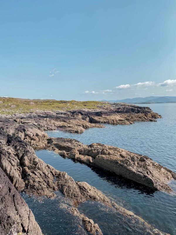
Located around 12 kilometres from Sneem, the pier sits beside one of only two coral beaches in Ireland. Although it is commonly called coral, the pale fragments beneath your feet are actually made from coralline algae known as maërl.
The water was beautifully clear when I visited, surrounded by the green Kerry landscape. It is quiet, simple and completely different from the busier stops people tend to associate with the Ring of Kerry.
For me, Gleesk Pier is a perfect example of what can happen when you’re willing to go with the flow in Ireland. Some of my favourite places have come from local recommendations, unexpected turns and being curious enough to see where a smaller road leads.
Valentia Island, County Kerry
Valentia Island sits just off the Iveragh Peninsula, and despite being right beside one of Ireland’s most famous driving routes, I still think many visitors underestimate how much there is to do here.
You don’t need to take a ferry to visit either. A bridge connects the island to Portmagee, so it is incredibly easy to add while exploring the Skellig Ring.
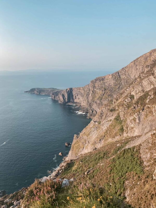
One of my favourite things about Valentia is the variety. You can walk out towards Bray Head for views across the Atlantic, visit the cliffs at Geokaun Mountain or see fossilised footprints left by one of the earliest known vertebrates to walk on land.
And then there is the scenery itself.
This is another place where I’d give yourself time rather than driving onto the island, stopping for one photo and leaving again. There are coastal views, little roads and plenty of places to explore, and it is a lovely addition to a wider Ring of Kerry road trip.
Valentia is also closely connected to the story of Skellig Michael, with boats departing from nearby Portmagee during the landing season. So, if you’re already spending time in this part of Kerry, the island is well worth exploring in its own right.
Great Blasket Island, County Kerry
Dingle may be one of the most popular places to visit in Ireland, but just off its coast lies a completely different experience.
I visited Great Blasket Island as part of an eco sea safari tour, and honestly, the journey out was almost as memorable as the island itself.
Rather than simply taking the most direct route, we explored the waters around the wider Blasket Islands, passing sea caves, dramatic rock formations and some of the smaller islands scattered off the Dingle Peninsula.
And then there was the wildlife.
On our tour, we saw dolphins, seals, basking sharks and even puffins sitting out on the water. Of course, wildlife is never guaranteed, but it made the journey out feel like an experience in its own right rather than simply transport to the island.
Great Blasket itself is incredibly raw and rugged. There are no busy streets or crowds waiting for you when you arrive. Instead, you have walking trails, abandoned village ruins, beaches and incredible views back towards the Dingle Peninsula.
My only regret is that I didn’t stay overnight.
You can stay in accommodation on the island or camp, and I can only imagine how special it must feel once the day visitors leave and things become even quieter.
For somewhere sitting just off the coast of one of Ireland’s busiest tourist destinations, Great Blasket feels a world away.
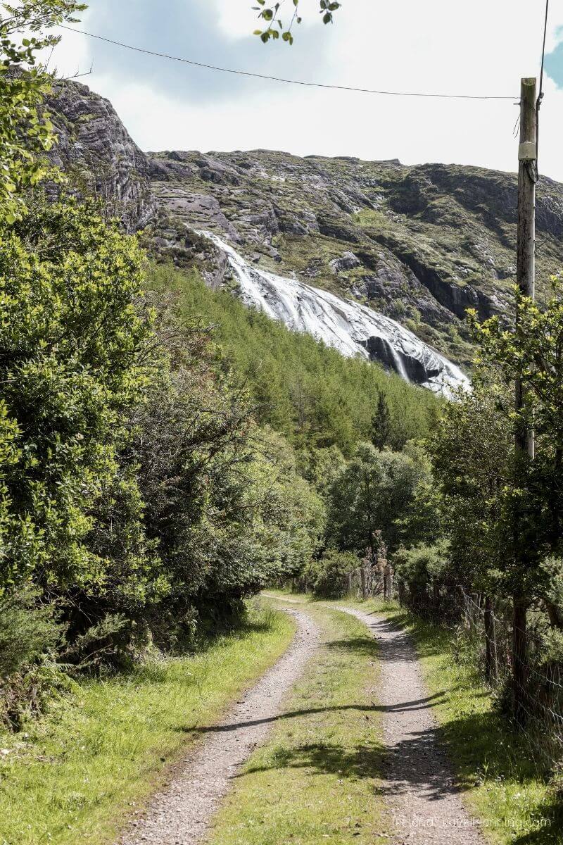
Gleninchaquin Park, County Kerry
This is a big statement to make, but Gleninchaquin Park is possibly one of my favourite places in Ireland.
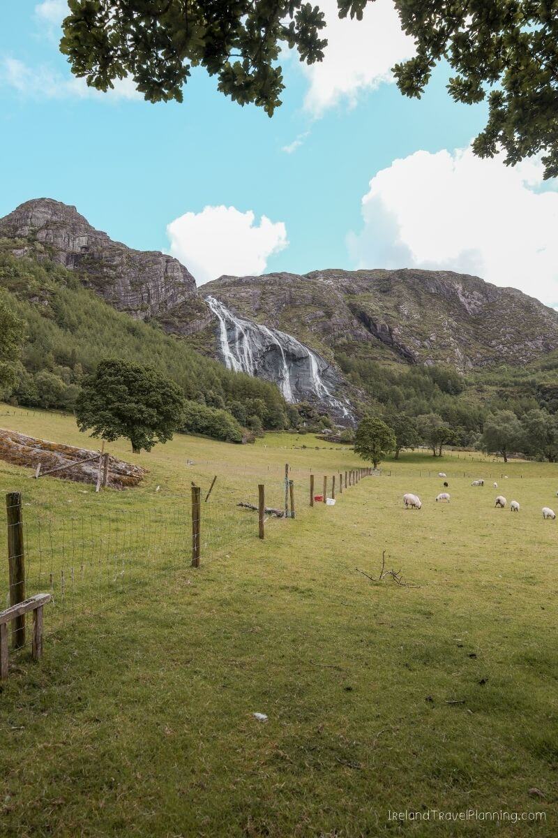
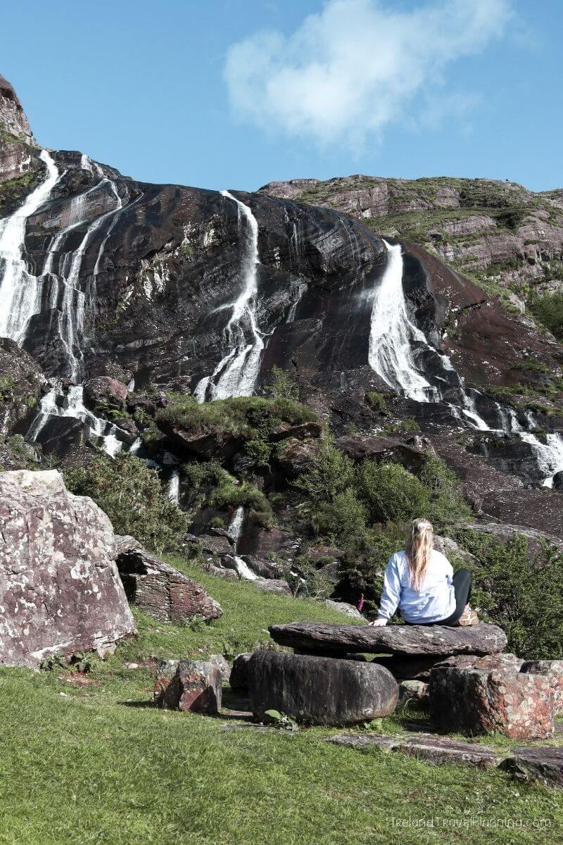
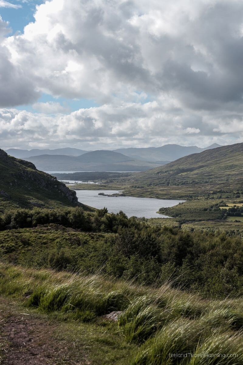
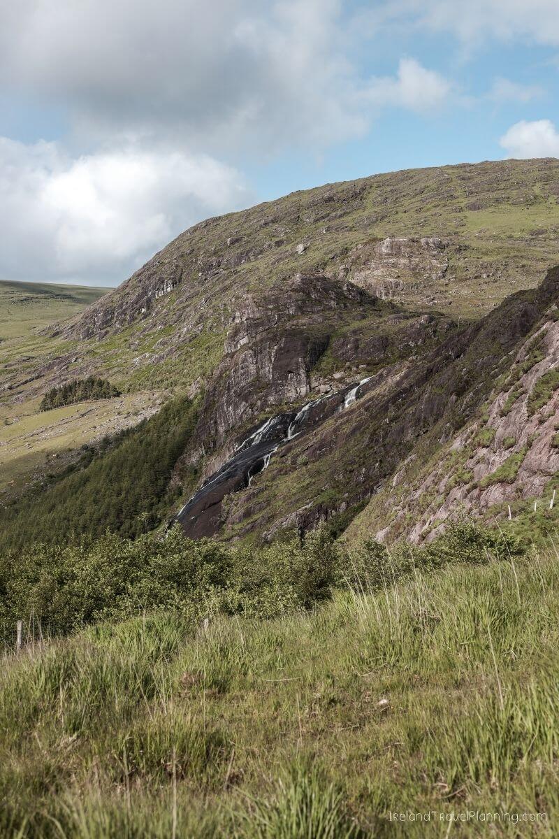
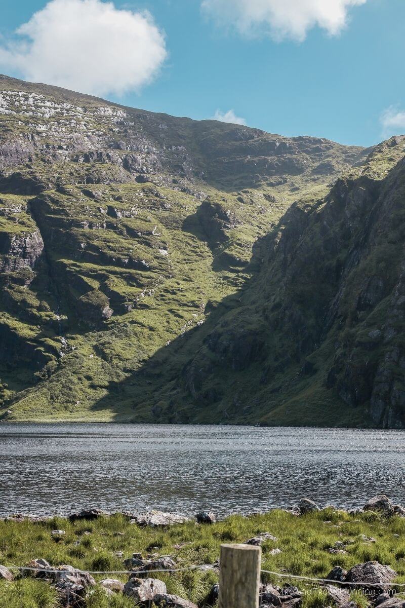
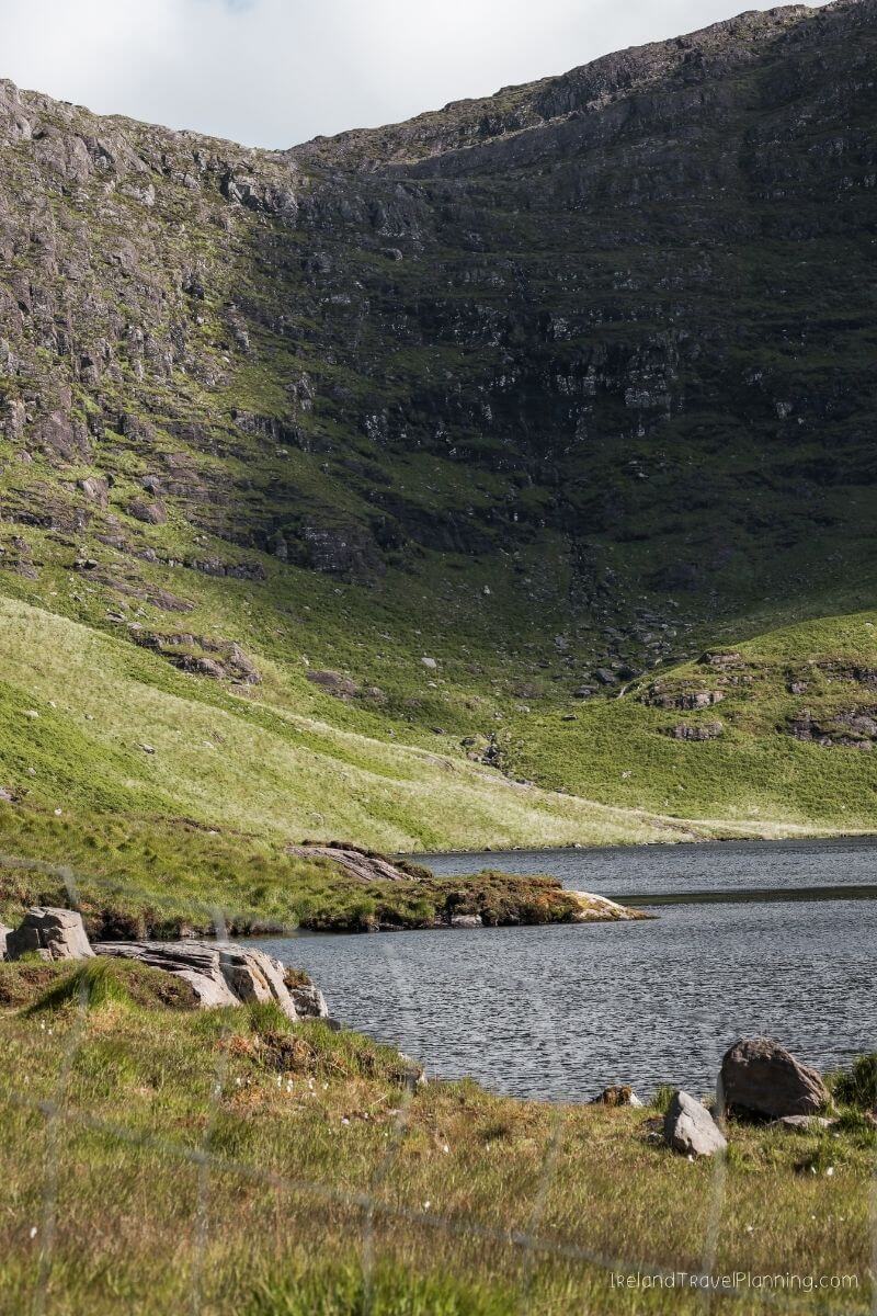
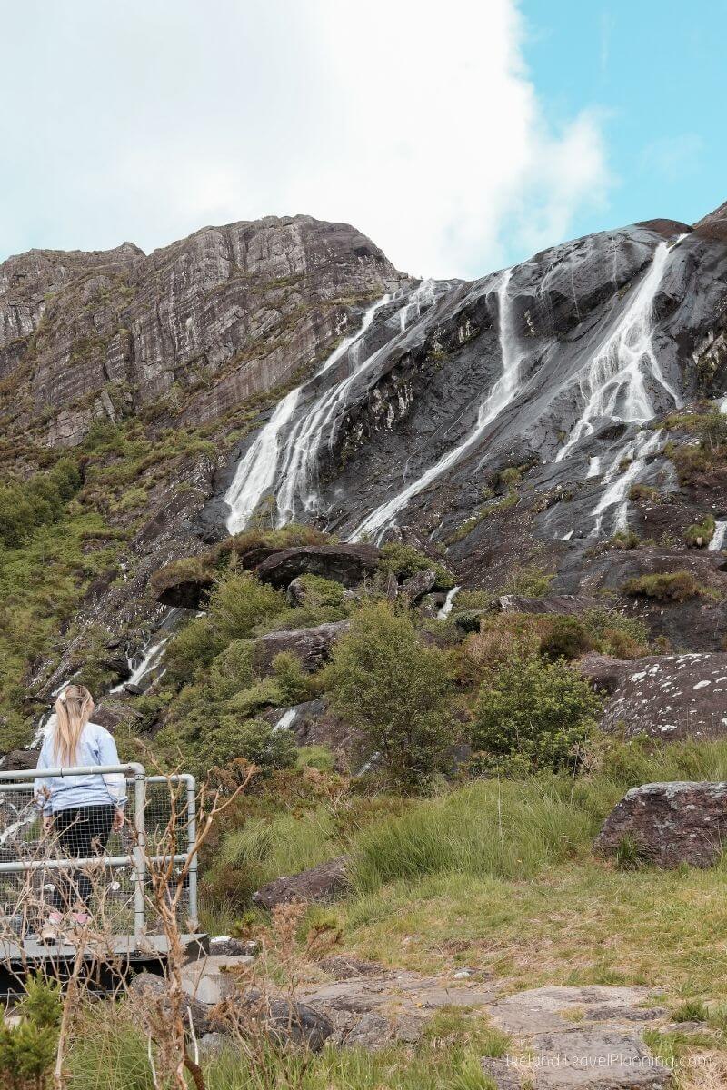
Hidden away on the Beara Peninsula, the park sits inside an enormous glacial valley surrounded by mountains, lakes and one very impressive waterfall.
Getting there is part of the adventure.
The final road into the valley is narrow and a little dodgy in places, but if you take your time, it is very manageable. Phone signal is also limited, so I’d have your directions loaded before you go rather than relying on your phone at the last minute.
Once you arrive, however, everything is incredibly well signposted.
There are several walking routes to choose from, ranging from shorter walks around the valley to longer routes that take you up and over the waterfall. I followed the trail above the falls, and the views across the surrounding Kerry landscape were absolutely incredible.
The park is privately owned, and honestly, the landowner was so lovely when I visited. There is an entrance fee and payment is cash only, so make sure you arrive prepared.
One slightly confusing thing about Gleninchaquin is its location. It is in County Kerry, but because it sits on the Beara Peninsula, it is actually much closer to many West Cork attractions than the places most people associate with a typical Kerry itinerary.
And maybe that is part of why so many people miss it.
Honestly, though, if you enjoy walking and wild Irish landscapes, this is one of my favourite places I can recommend.
ℹ️ Key Information for Gleninchaquin Park
Location: Beara Peninsula, County Kerry
Best for: Waterfalls, walking and mountain scenery
Walking: Several well-marked routes to choose from
Payment: Bring cash for the entrance fee
Good to know: Phone signal is limited
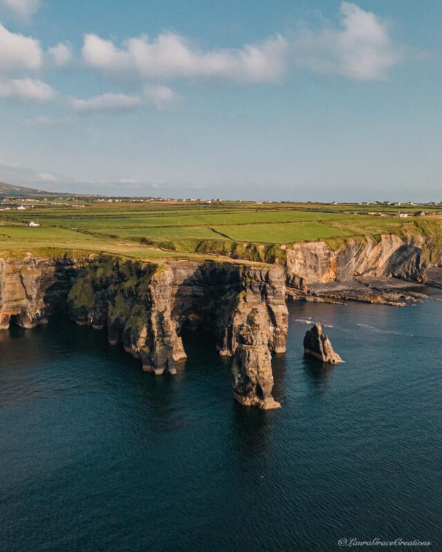
Bromore Cliffs, County Kerry
North Kerry is often overlooked by visitors heading straight for Killarney and the Ring of Kerry, but there are some beautiful places to explore along this part of the coastline.
One of my favourites is Bromore Cliffs, just outside Ballybunion.
The cliffs sit on a family farm overlooking the Atlantic, with a walking route taking you past sea stacks, caves and dramatic rock formations along the coast. It feels completely different from Ireland’s bigger cliff attractions, and when I visited, it was incredibly peaceful.
I think that is part of what makes Bromore so special. You get the dramatic Atlantic scenery without the crowds you might expect at some of Ireland’s better-known cliffs.
One thing worth knowing is that the hedges along parts of the route are surprisingly high. So, if you’re a small human like me, there will be sections where the hedge gets a better view of the cliffs than you do 😂 Thankfully, there are designated viewpoints along the route where you can properly take in the coastline.
Ballybunion itself is also worth some time, particularly for its beaches and coastal scenery, so I’d combine the two while exploring this part of North Kerry.
Lesser Known Places in Ireland’s Ancient East
Ireland’s Ancient East is often overlooked by visitors heading west, but there are plenty of hidden gems worth adding to your itinerary.
From quiet hiking trails to castles, coastal drives and unusual historic sites, these are some of my favourite lesser-known places across the east and south east of Ireland.
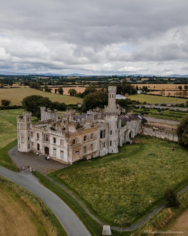
Duckett’s Grove, County Carlow
I’m not going to lie, Duckett’s Grove is probably one of the spookiest places I’ve visited in Ireland.
The ruins of this former country house look like something straight out of a gothic film, with towers, turrets and the remains of what was once part of a huge 12,000-acre estate.
And apparently, I’m not the only one who finds it a little creepy. Over the years, there have been plenty of stories about strange sounds and ghostly sightings around the ruins.
Whether you believe in that kind of thing or not, it is a fascinating place to walk around. You can explore the grounds and restored walled gardens for free, and guided tours are also available on selected days if you want to learn more about the Duckett family and the history of the estate.
Personally, I think the ruins are what make it so memorable. There is something about walking around the remains of such an elaborate house and imagining what it must have looked like before it was destroyed by fire.
PLANNING ON RENTING A CAR IN IRELAND?
I highly recommend keeping an eye on the rental prices ahead of time by using comparison tools like Discover Cars to find the best prices on the market.
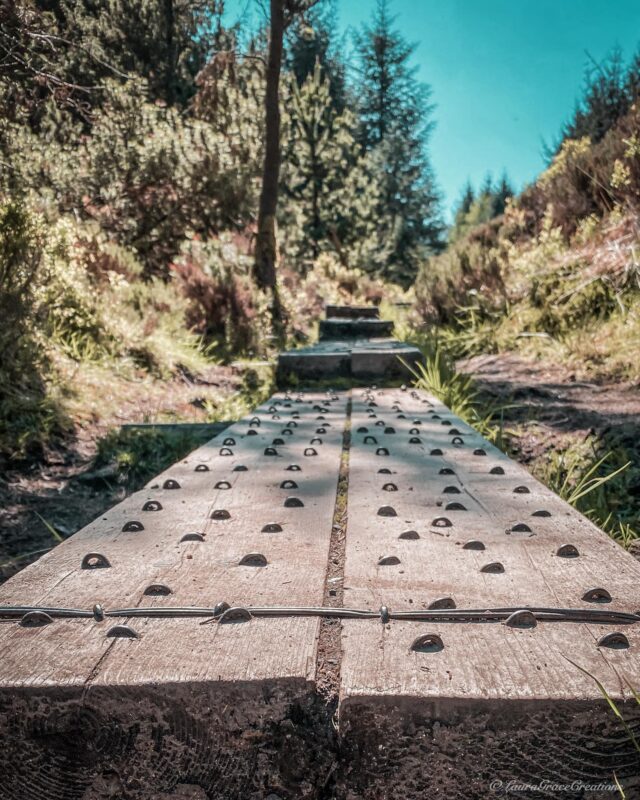
Cruagh Woods, County Dublin
Cruagh Woods is one of my favourite places to go for a walk in Dublin, and probably one of the reasons I love the outdoors so much in the first place.
The woodland sits in the Dublin Mountains, yet it is close enough to the city to make you forget just how near you actually are. There are a few walking options, including shorter trails through the forest and routes that bring you higher for views across Dublin.
If you want to experience a more local side of Dublin and escape the city for a few hours, Cruagh is a lovely place to do it. Just keep an eye on the car park closing times, as the gates are locked in the evening and the hours change between summer and winter.
Explore Dublin

Arriving in Dublin and not sure where to start? It’s the small, practical things that tend to catch people out…
The Dublin App is designed to give you clear, easy access to the information you actually need, all in one place.
✔️ An interactive map showing key locations across the city, from top attractions to everyday essentials
✔️ Live location and directions so you can navigate Dublin with confidence
✔️ Practical information like ATMs, public restrooms, pharmacies, and where to find what you need
✔️ Guidance on getting to and from the airport and using public transport
✔️ Quick access to booking links and useful resources while you’re on the go
It’s everything you don’t realise you need… until you’re standing in the middle of the city trying to figure it out.
Ireland’s Eye, County Dublin
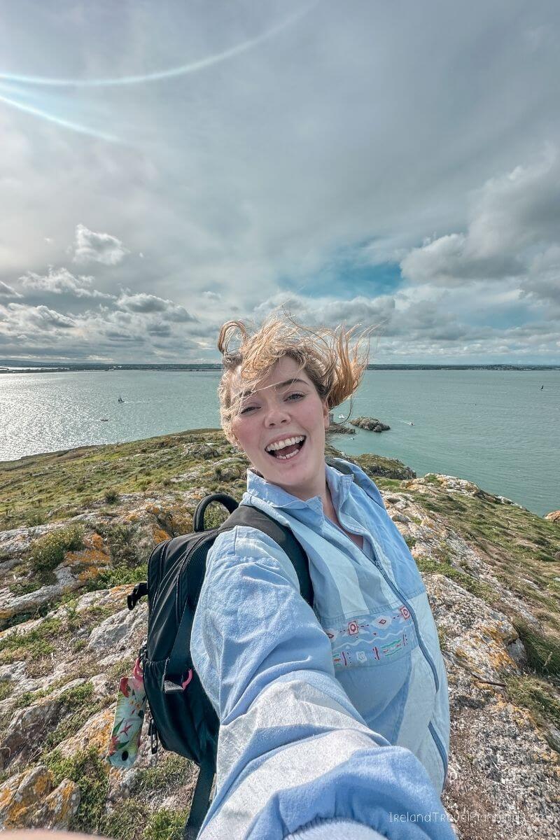
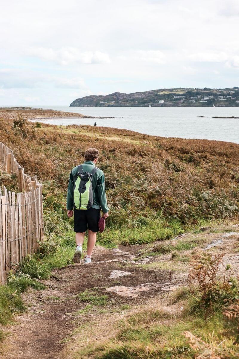
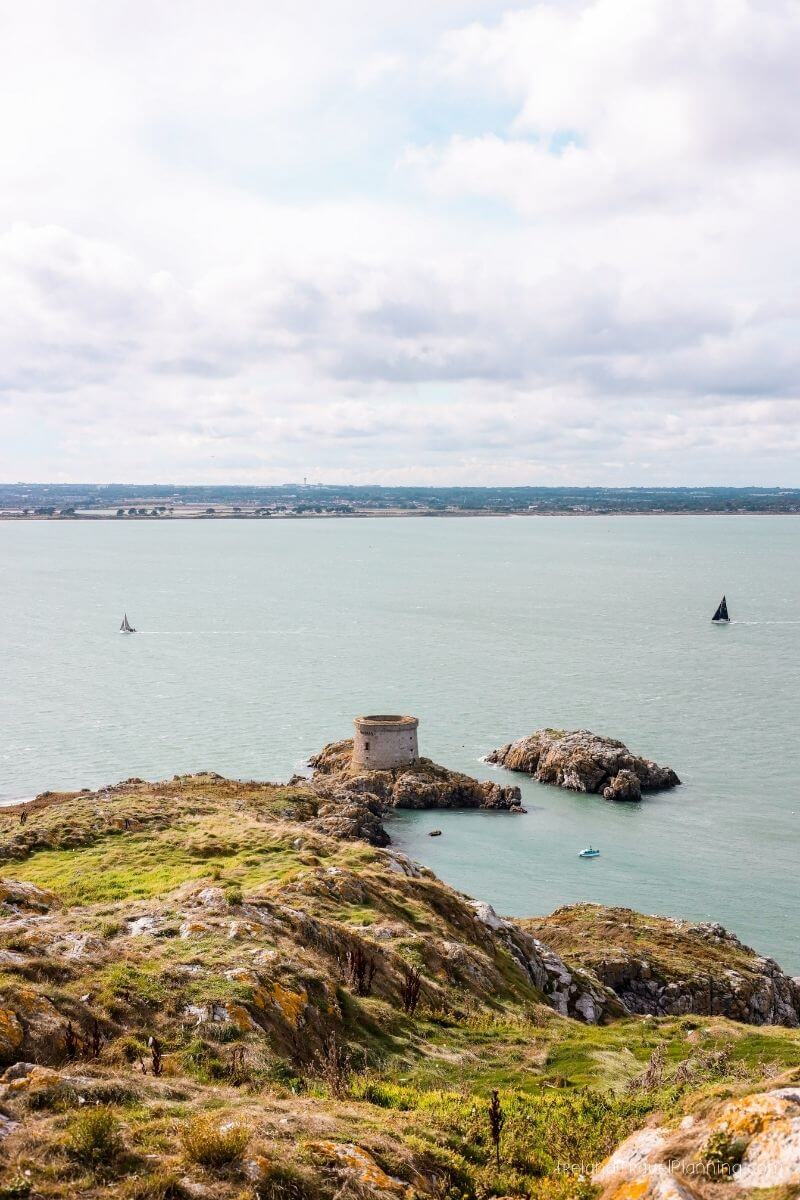
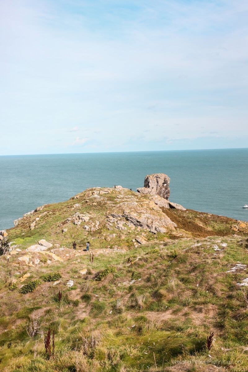
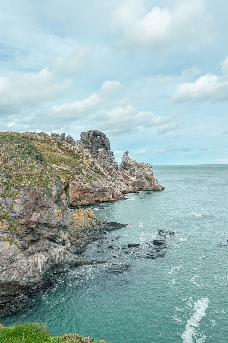
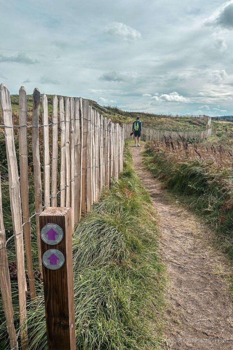
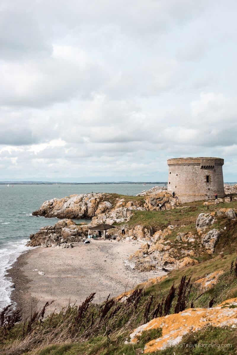
Ireland’s Eye is one of those places that makes me forget I’m still in Dublin.
Sitting just off the coast of Howth, the island feels more like somewhere I would expect to find along the west coast of Ireland, except you don’t need to drive for three-plus hours to get there.
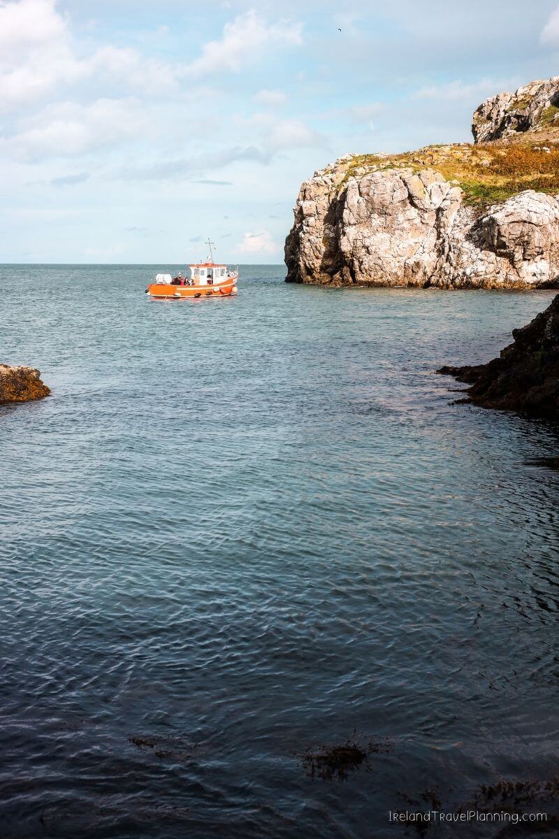
You can take a short boat trip from Howth and spend your time exploring the island, with views back towards the harbour and the Howth Peninsula.
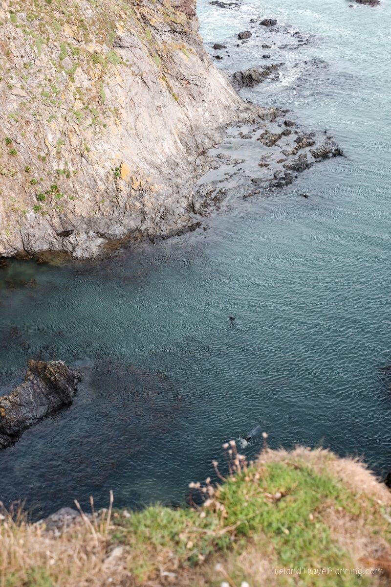
It is also a fantastic place for wildlife. The island is home to large numbers of seabirds, and on my visit, we saw plenty of seals in the surrounding water.
The landing itself can be a little awkward, though. You may need to step from the boat onto uneven ground rather than arriving at a typical ferry pier, so I wouldn’t recommend the island landing for anyone with significant mobility issues.
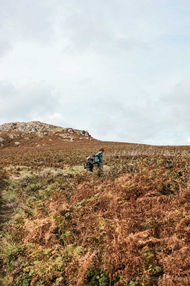
Once you’re there, however, it feels wonderfully wild for somewhere so close to Dublin City.
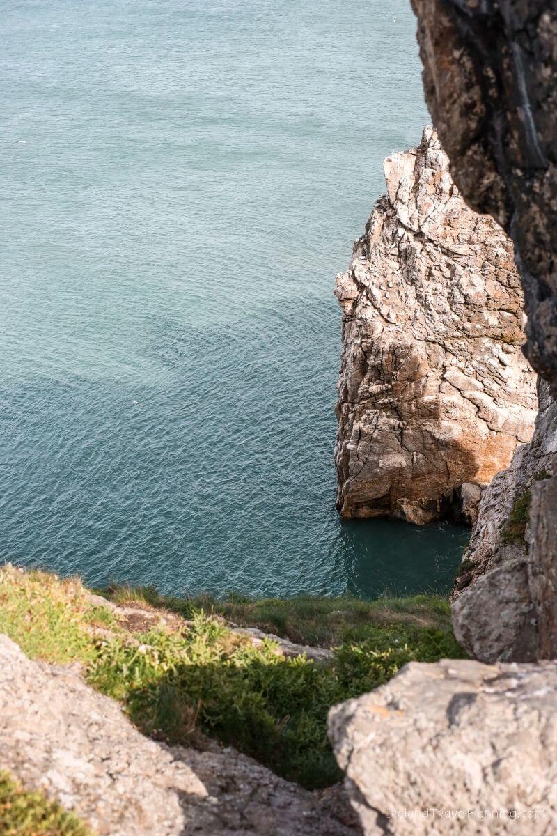
For me, that is what makes Ireland’s Eye so special. You can leave busy Howth behind and, within a short boat ride, find yourself surrounded by cliffs, birds, seals and the sea.
It is one of my favourite ways to experience a much wilder side of Dublin without travelling across the country.
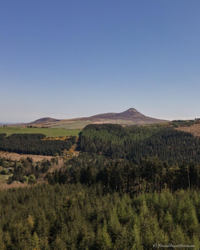
Slieve Foye, County Louth
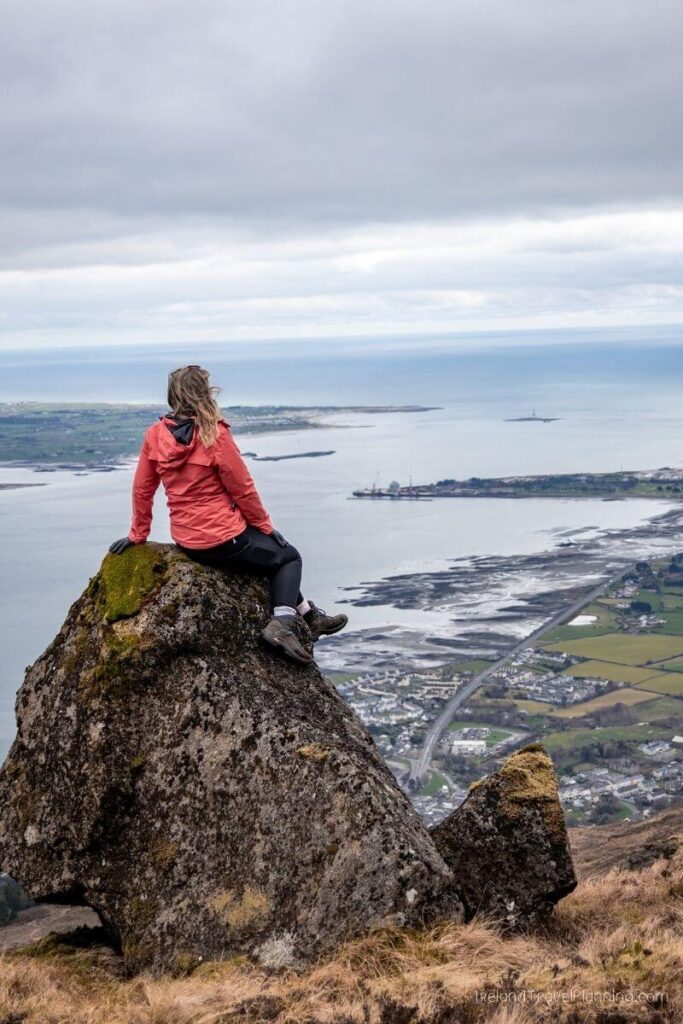
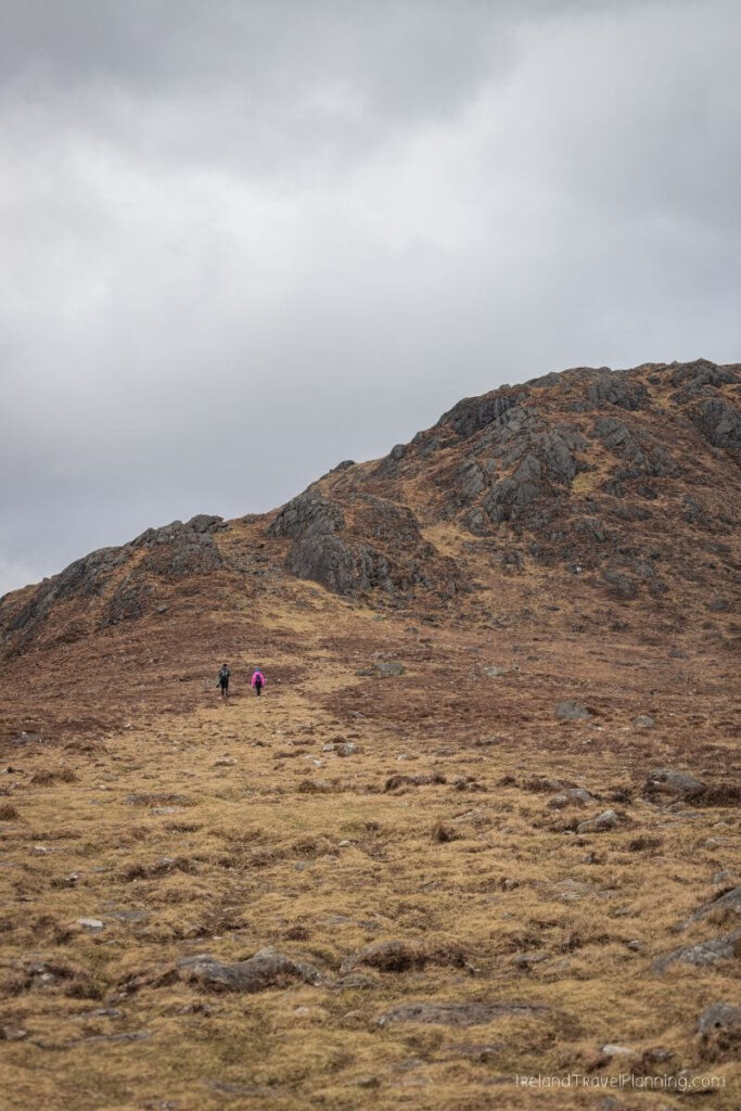
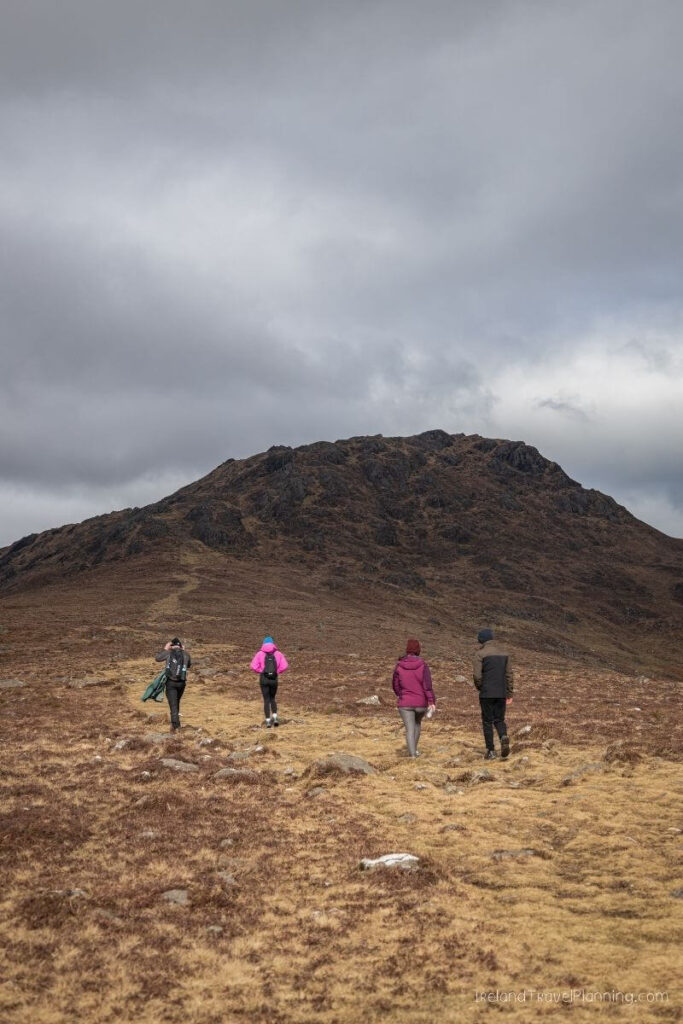
Slieve Foye had been on my hiking list for a long time before I finally made it to the top, and honestly, the views did not disappoint.
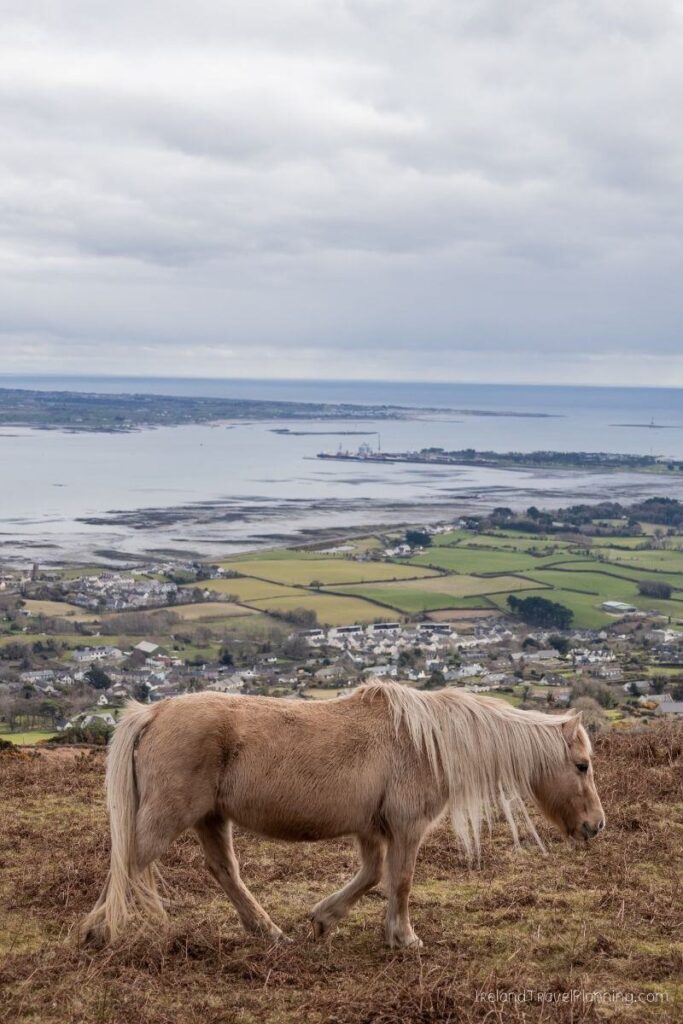
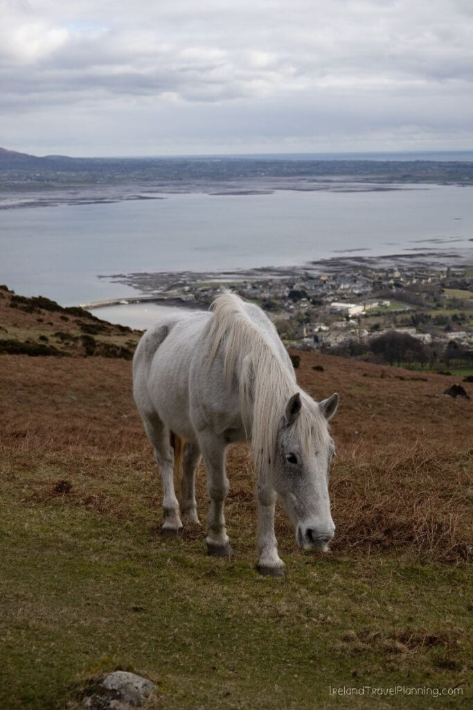
Rising above the colourful village of Carlingford, Slieve Foye is the highest mountain in County Louth. As you climb, the views open out across Carlingford Lough, the Cooley Peninsula and towards the Mourne Mountains in Northern Ireland.
It was those views that made me fall in love with this hike.
There are a few walking routes around the mountain, so it is worth deciding whether you want to follow one of the marked lower loops or hike all the way to the summit.
The summit route involves a proper climb and mountain terrain, so come prepared with suitable footwear and navigation rather than treating it as a casual stroll from the village.
One of the things I love about hiking here is that you can finish back in Carlingford, which is one of my favourite small towns in Ireland. A mountain hike followed by food and a wander around the village is a pretty good day out, if you ask me.
It also makes for a fantastic day trip from Dublin, as it is only a one-hour and 30-minute drive from the city.
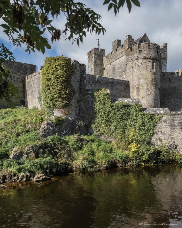
Cahir Castle, County Tipperary
Okay, I’ll admit it. Cahir Castle is not exactly a secret.
But compared with the likes of Blarney Castle or the nearby Rock of Cashel, I think it gets far less attention from international visitors than it deserves.
Sitting on a rocky island in the middle of the River Suir, Cahir is one of the most impressive castles in Ireland. And the best part is that you can actually go inside and explore it.
You can walk through the castle rooms, climb narrow stone staircases and look out across Cahir from the walls. It feels much more immersive than visiting a ruin where you can only admire the outside.
I also really like Cahir itself. The castle sits right in the centre of town, so it is easy to combine with lunch or a wander rather than driving out to an attraction and immediately getting back in the car.
And if you’re travelling through Tipperary, Cahir works particularly well alongside the Rock of Cashel. The Rock gets most of the attention, but personally, I wouldn’t skip Cahir Castle while you’re in the area.
The Vee, County Tipperary
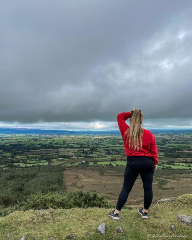
Tipperary is a bit of a dark horse when it comes to tourism in Ireland. Most international visitors know about the Rock of Cashel, but very few seem to venture much further than that.
One place I think deserves far more attention is the Vee, a scenic mountain pass through the Knockmealdown Mountains. The road winds through the forest before opening out to views across the countryside below, and it is one of my favourite drives in this part of Ireland.
There are also a few walks you can add along the way, including Bay Lough, which sits beneath the mountains just off the Vee. If you visit around late spring or early summer, the hillsides are known for their bright pink and purple rhododendrons, making an already beautiful drive even more colourful.
Continue along the route towards Waterford and you’ll eventually reach Lismore, which is another one of my favourite stops in this part of the country. It makes the Vee a lovely route to take when travelling between Tipperary and Waterford rather than simply choosing the quickest road.
Mahon Falls, County Waterford
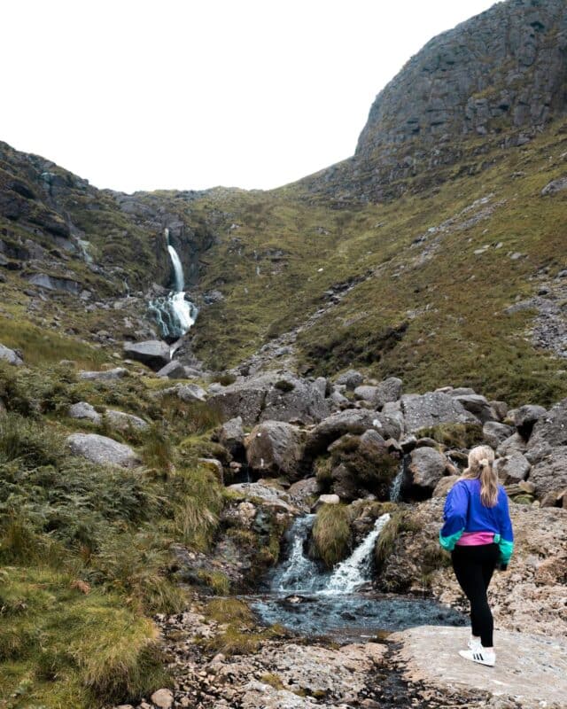
Mahon Falls is one of those places where the walk towards the waterfall is almost as beautiful as the waterfall itself.
Sitting in the Comeragh Mountains, the 80-metre waterfall drops into a huge valley surrounded by mountain cliffs. The walk from the car park is relatively straightforward, and from my experience, you’re looking at roughly 30 to 40 minutes depending on your pace and how often you stop to take in the views.
And trust me, you’ll probably stop.
The waterfall is particularly impressive after plenty of rain, but even when the flow is lighter, the surrounding valley is worth the visit in its own right.
While you’re in the area, keep an eye out for the nearby Magic Road. From the right spot, the slope creates an optical illusion that makes it look as though your car is rolling uphill. It is a very strange feeling when you’re sitting in the car watching it happen.
❌ AVOID EXPENSIVE ROAMING CHARGES: An affordable eSIM plan is the perfect solution! Airalo eSIMs work seamlessly across Ireland with their quick, easy and affordable plans use the code IRELAND10 for 10% off. (ROI Deals & ROI & NI Plans)
Coumshingaun Lough, County Waterford
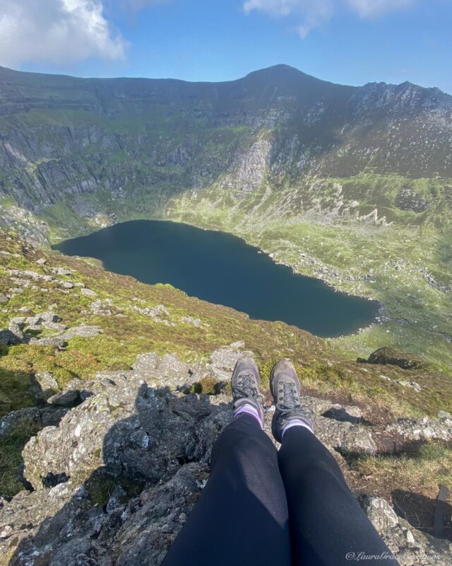
Coumshingaun is easily one of the most impressive places I’ve visited in the Comeragh Mountains. The lake sits inside a huge glacial corrie, surrounded by steep mountain cliffs that make the whole place feel completely cut off from the world around it.
I’m not going to lie, though, the full hike is hard.
When I attempted it, Ireland had decided to produce one of those unusually hot days that none of us are ever properly prepared for. We ran out of water and had to turn back before completing the full route, which was absolutely the right decision.
But here’s the important thing: you don’t need to complete the full ridge loop to experience Coumshingaun.
You can walk towards the lake itself and return the same way, which still gives you the chance to experience the incredible scenery without committing to the much more challenging circuit above it.
If you do plan to complete the full loop, treat it as a proper mountain hike. Bring enough water, check the weather and make sure you are comfortable with steep and exposed terrain.
I may not have finished the full route that day, but the views were still more than worth the effort.
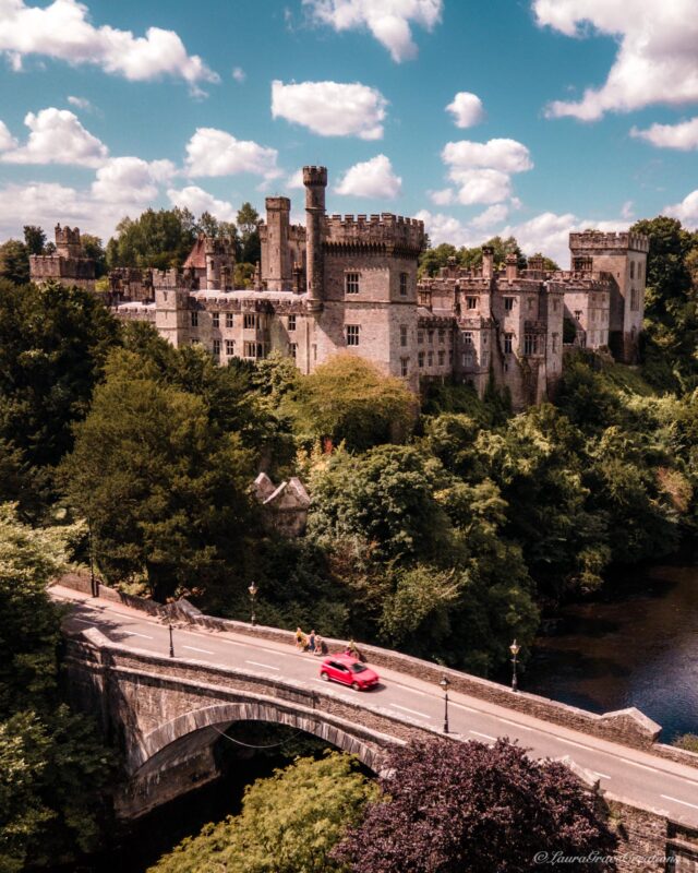
Lismore, County Waterford
Lismore is one of those towns that makes an impression before you’ve even properly arrived.
As you approach, you cross the bridge over the River Blackwater with Lismore Castle rising above the town, and honestly, it looks like something you would expect to see in a fairytale.
The castle itself is a private residence, so you can’t simply turn up and explore the interior. However, the gardens and Lismore Castle Arts are open to visitors during the main season, giving you the chance to see more of the estate.
But I wouldn’t come to Lismore solely for the castle.
The town itself is beautiful and makes a lovely place to stop for a wander or something to eat while exploring this part of Waterford. It also fits perfectly with the Vee, the Comeragh Mountains and nearby Ballysaggart Towers, so there is plenty to combine in the surrounding area.
For me, though, that first view as you arrive across the bridge is still one of the things I remember most.

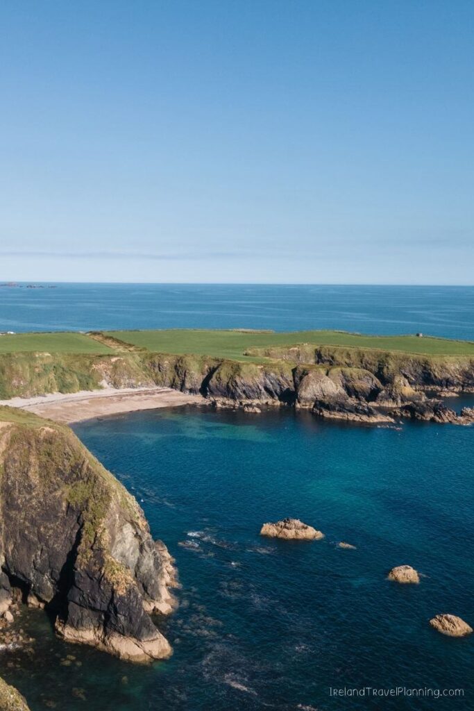
The Copper Coast, County Waterford, Ireland
It genuinely remains a mystery to me why the Copper Coast doesn’t get anywhere near the same attention as Ireland’s more famous coastal drives.
Stretching along the Waterford coastline between Tramore and Dungarvan, the Copper Coast is a UNESCO Global Geopark filled with cliffs, beaches, hidden coves and reminders of the copper-mining industry that once operated here.
But honestly, you don’t need to know anything about geology to appreciate it.
This is one of those drives where I can almost guarantee you’ll keep pulling over because you’ve spotted another beach or coastal view you want to explore.
One of my personal favourites is Kilfarrasy Beach, which is also one of my favourite places to swim in Ireland. And call me crazy, but I swear the water feels warmer here.
Warmer by Irish standards, obviously. Let’s not get carried away.
For me, that is the beauty of the Copper Coast. There isn’t one attraction you need to race towards. Give yourself time to follow the coast, stop when somewhere catches your eye and see what you find.
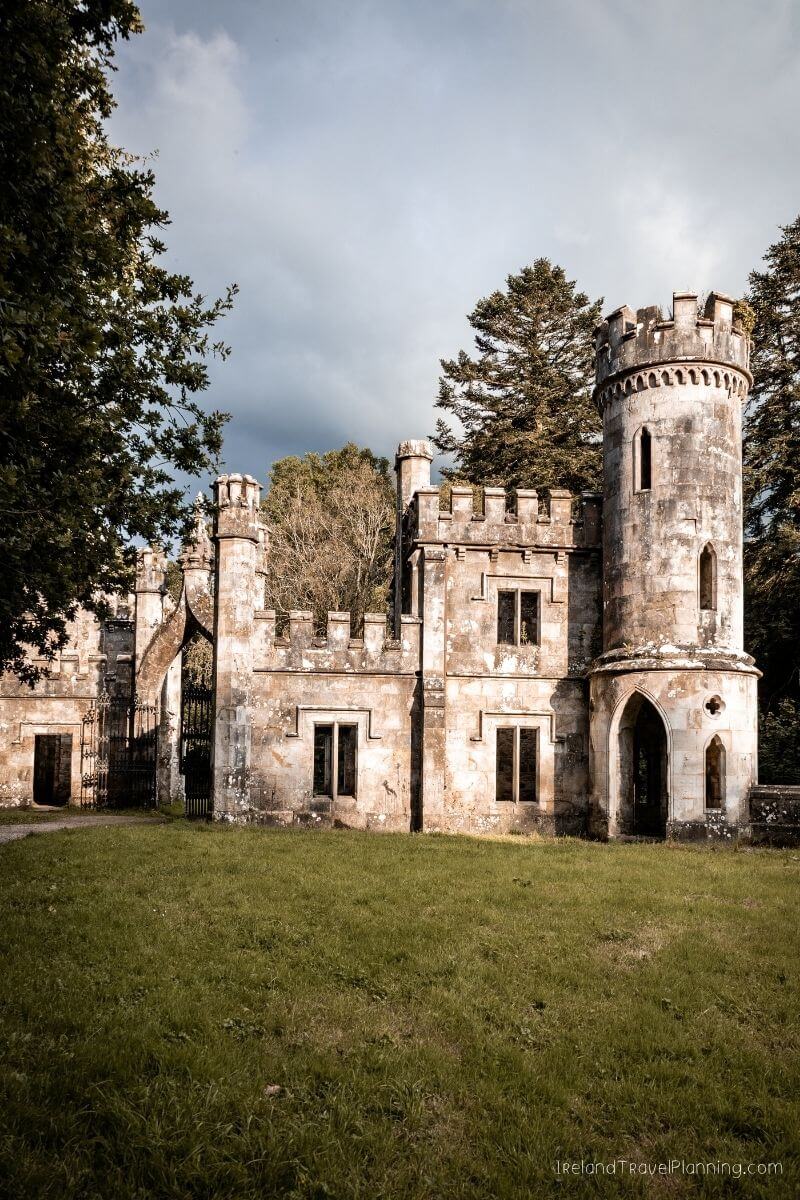
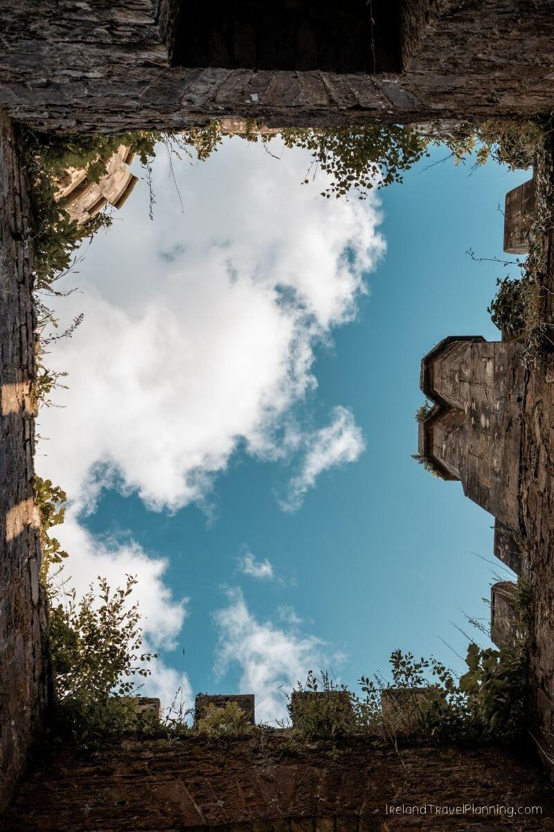
Ballysaggartmore Towers, County Waterford
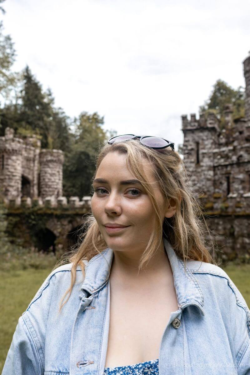
Ballysaggartmore Towers is one of those places I ended up visiting completely on a whim.
We had been exploring around Lismore when we decided to make the short drive out to see them, and they genuinely felt hidden when we arrived.
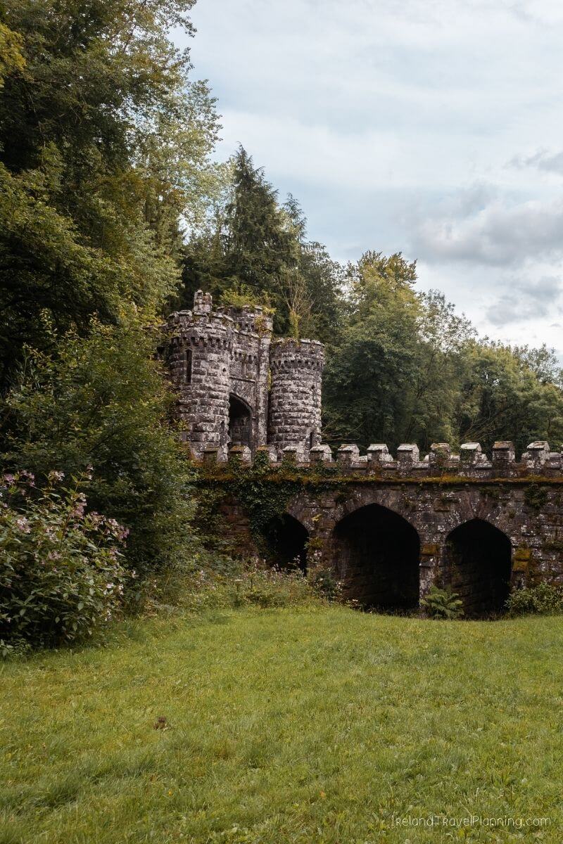
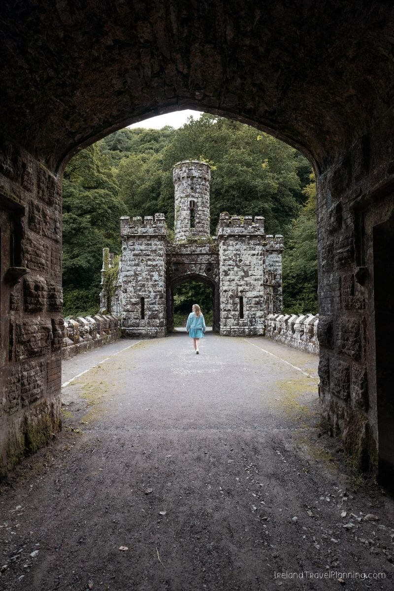
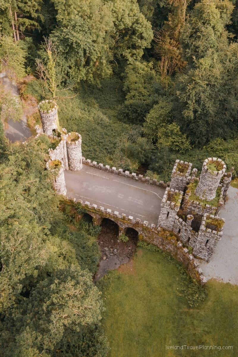
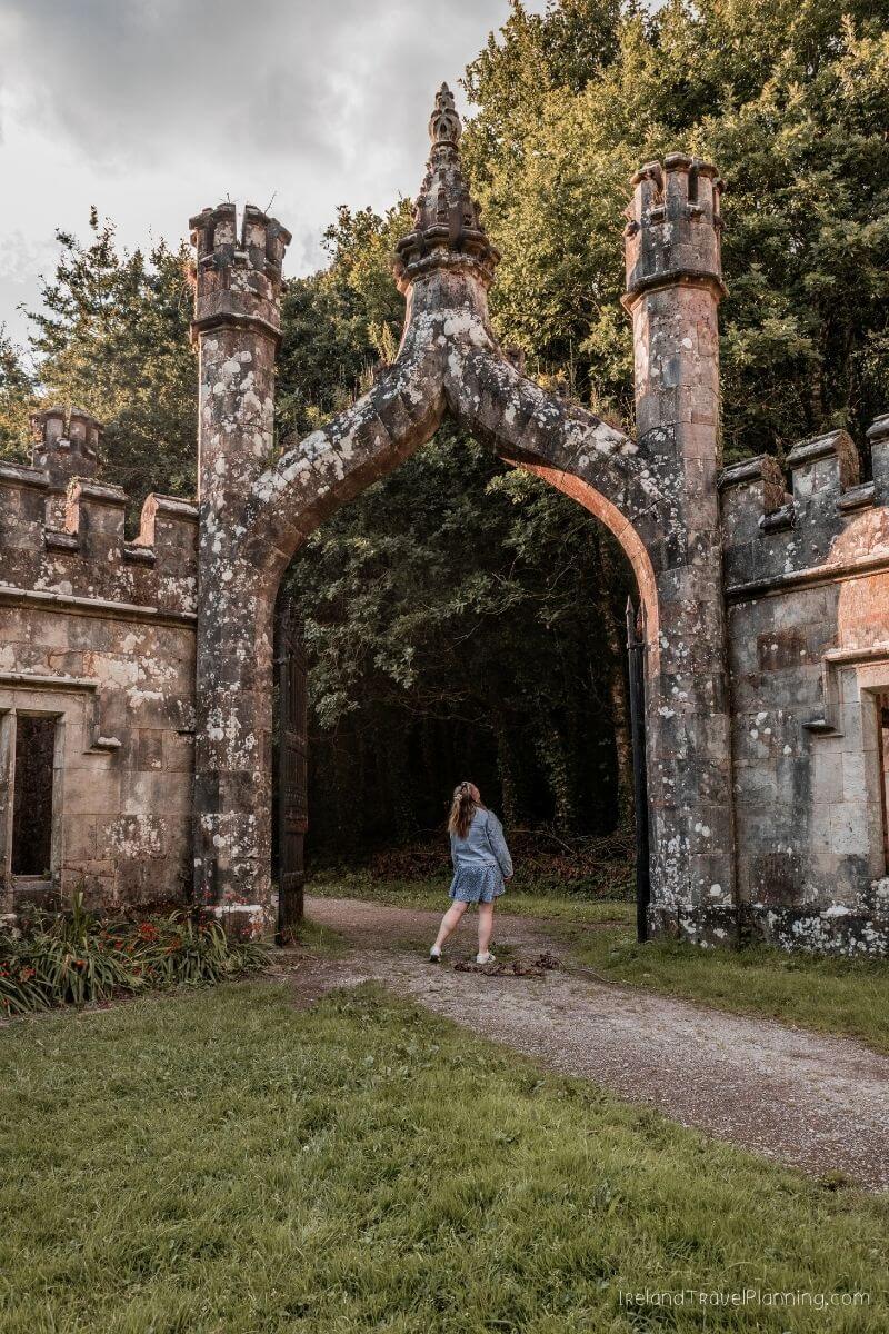
The walk takes you through woodland, with no dramatic castle sitting in full view from the car park. You have to follow the trail before the Gothic towers suddenly appear between the trees.
I think that reveal is part of what makes them so memorable.
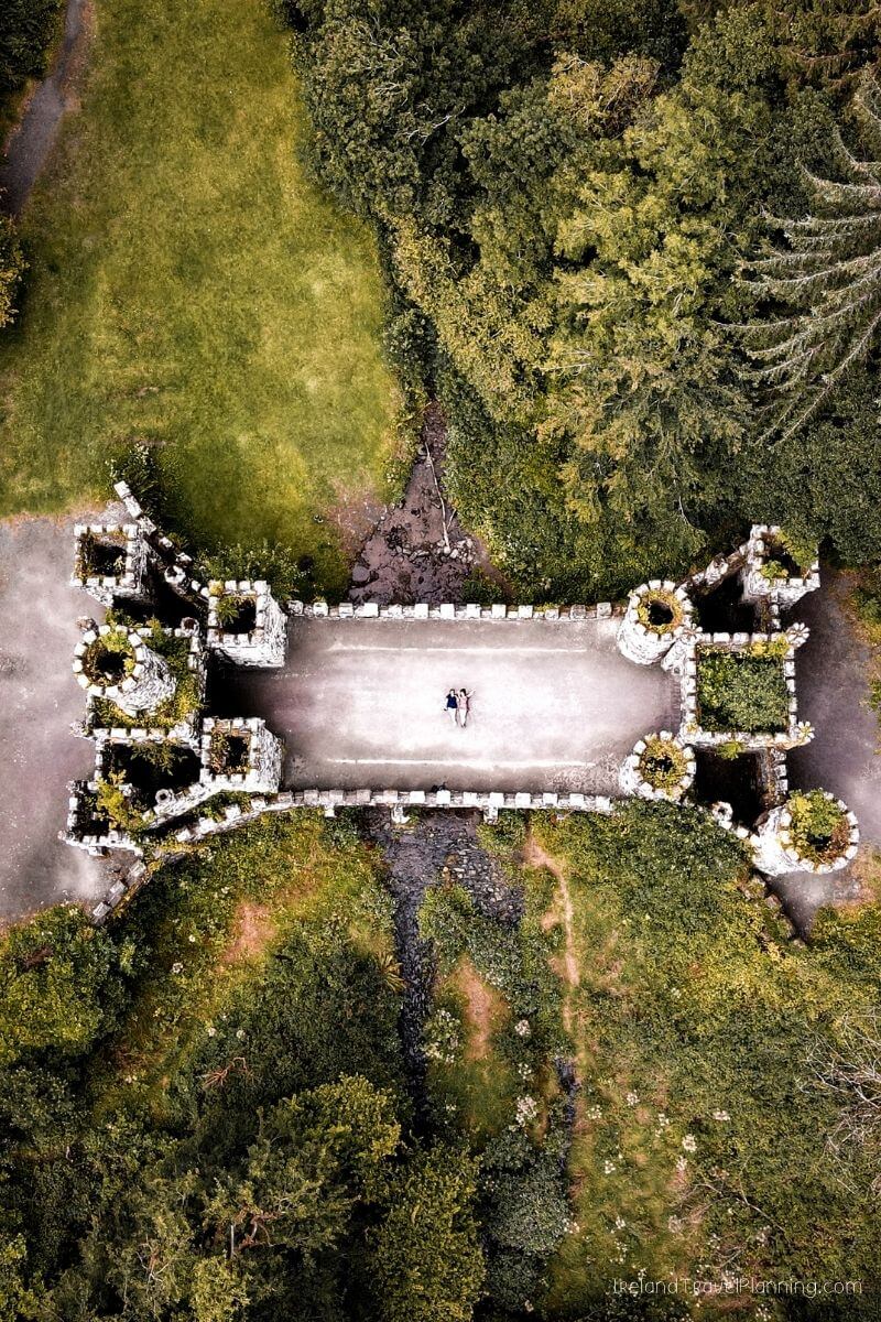
Despite their fairytale appearance, the towers were actually built as elaborate entrance lodges to the former Ballysaggartmore estate. Today, you can explore them as part of a woodland walk, making this an easy place to combine with Lismore while you’re in the area.
When I first visited, it took me around 15 minutes to reach the first towers. There are now established walking routes around the woodland, so you can either come to see the towers or spend a little longer exploring the wider area.
And it's also important to note that there is two separate ruins. I did not realise this the first time I visited, so make sure that you explore a little bit further beyond the first one, see all of which Ballysagatmoor has to offer.
Great Saltee Island, County Wexford
Great Saltee Island is officially one of my favourite hidden gems in Ireland.
I first visited in 2023 and completely fell in love with it.
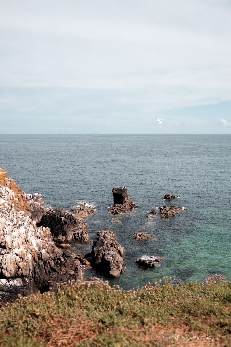
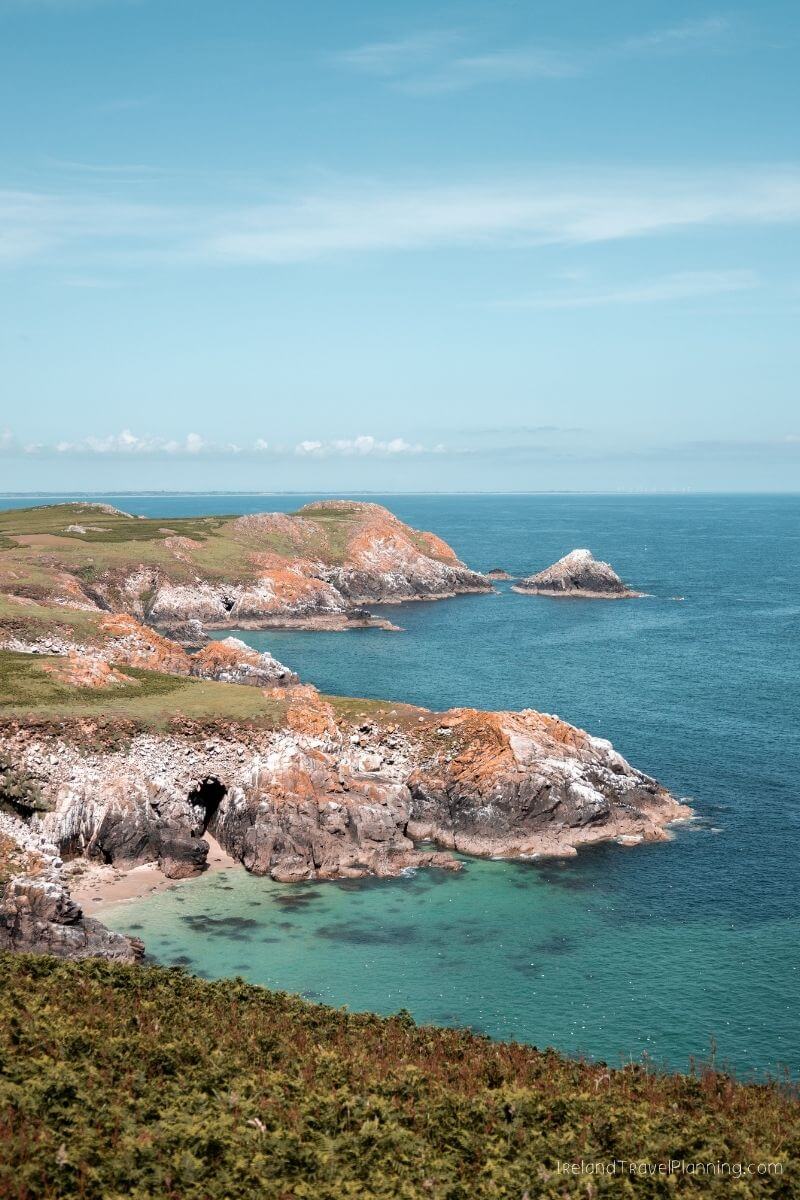
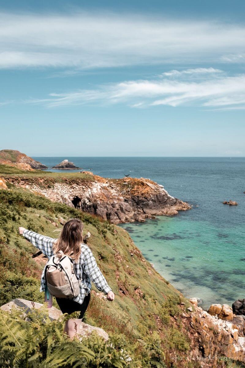
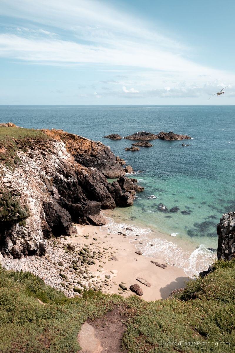
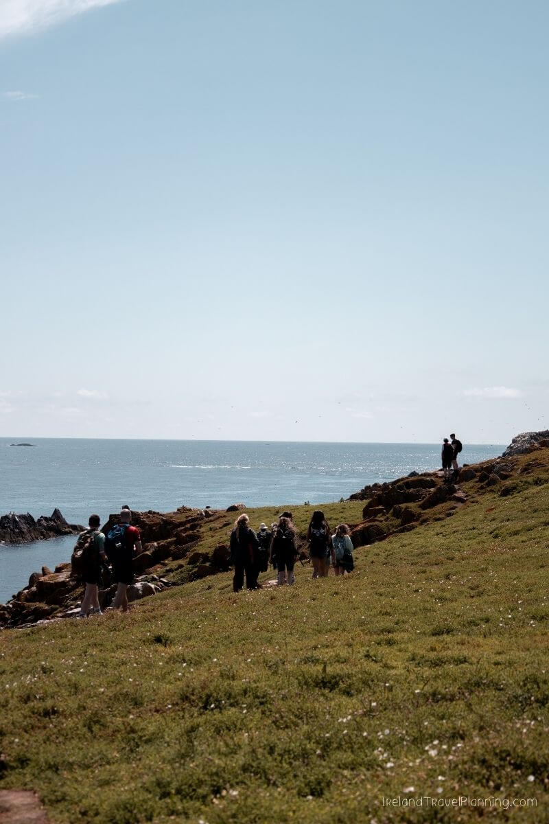
The island sits just off the coast of Wexford and, on a sunny day, parts of it genuinely feel like you’ve somehow landed somewhere far more tropical than Ireland. You have rolling green scenery, dramatic cliffs and incredibly clear water surrounding the island.
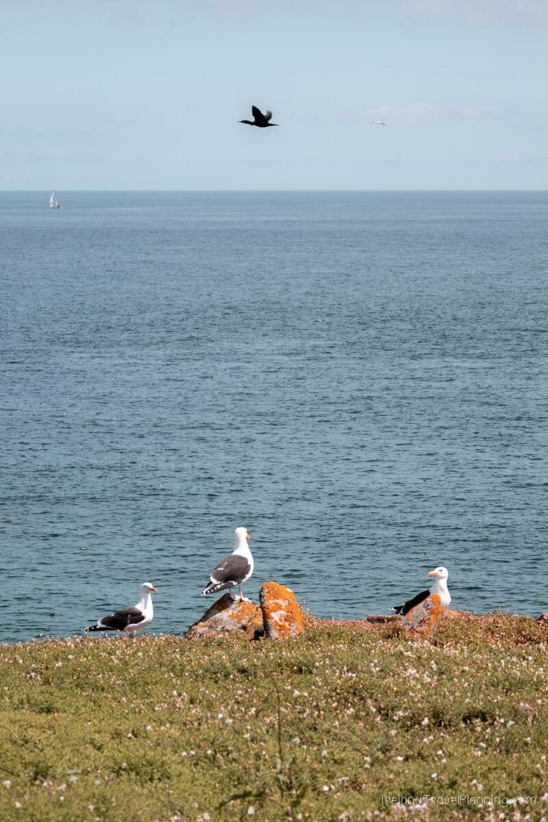
But the real stars of the show are the birds.
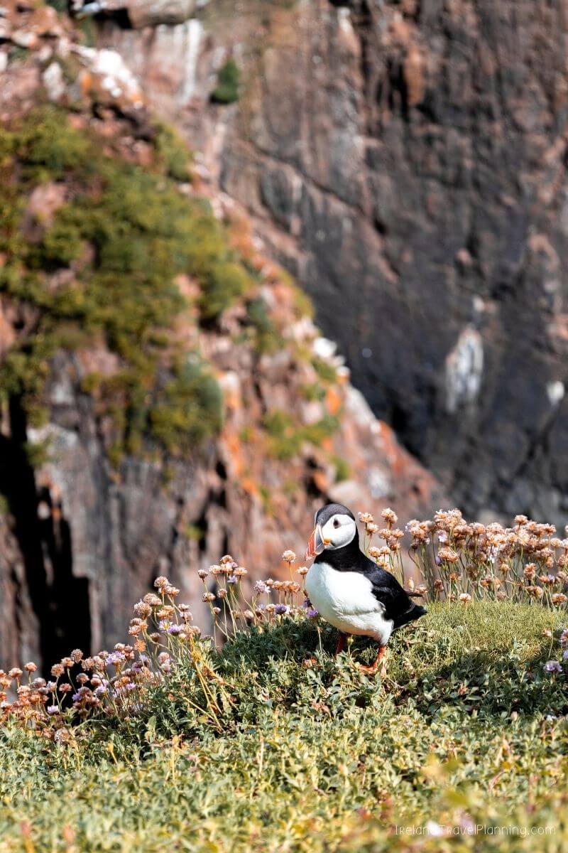
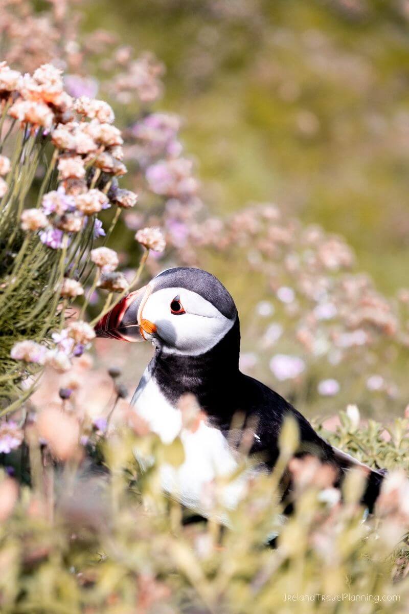
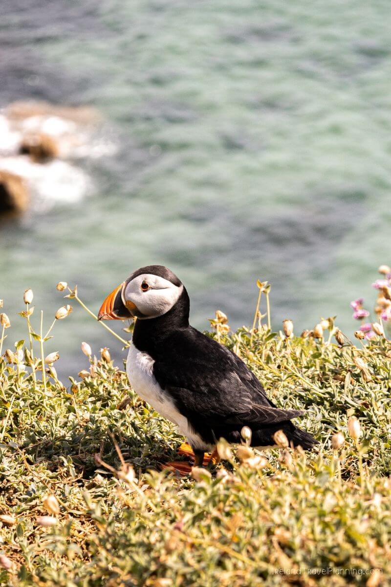
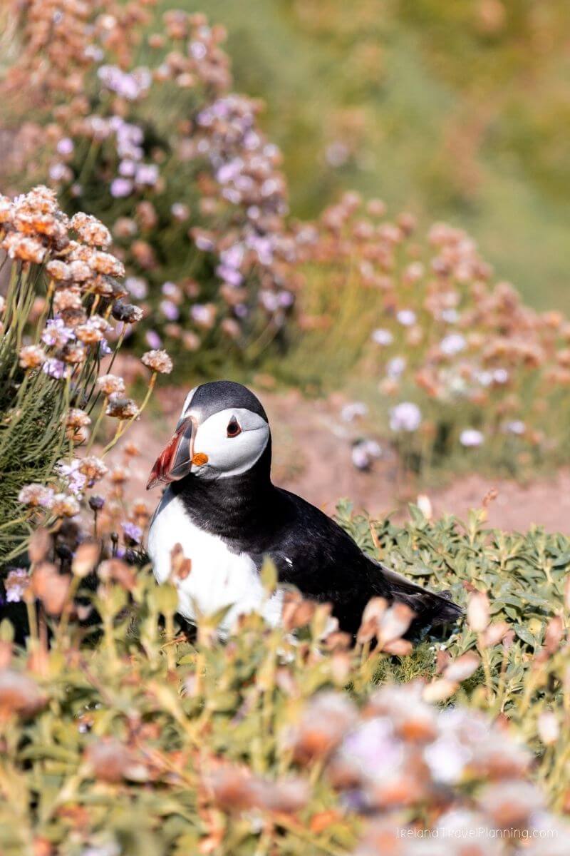
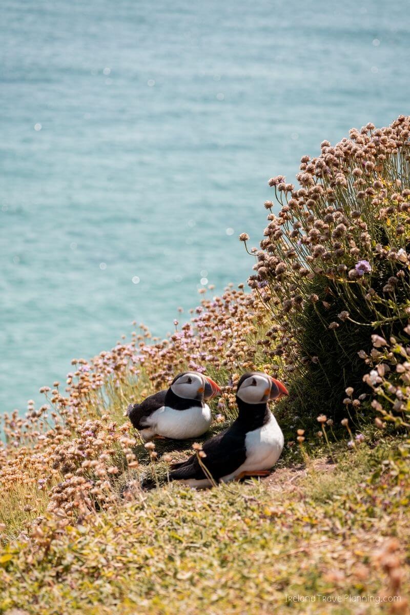
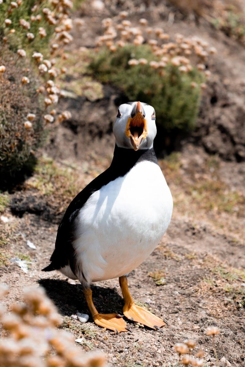
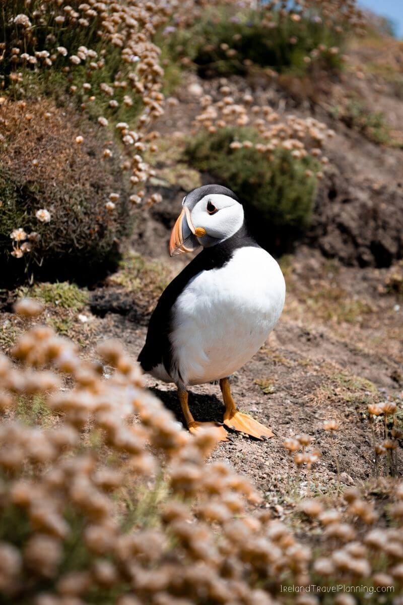
Great Saltee is home to huge seabird colonies, including gannets, guillemots and the extremely cute puffins that everyone, understandably, wants to see. If puffins are high on your list, the main seabird season runs through spring and early summer, although wildlife sightings are never guaranteed.
You reach the island by boat from Kilmore Quay, with the crossing taking around 20 minutes. Your return time is set when you book, so you have a few hours to explore before heading back to the mainland.
There are no typical tourist facilities waiting for you when you arrive, so come prepared for the time you’ll be spending on the island and take everything back off with you.
My Ireland Travel Guides are free to access. If they’ve helped you plan your trip, a virtual tip goes a long way in helping me continue to create them.
Hook Head, County Wexford
At the tip of the Hook Peninsula, you’ll find one of the most unusual historical sites in Ireland.
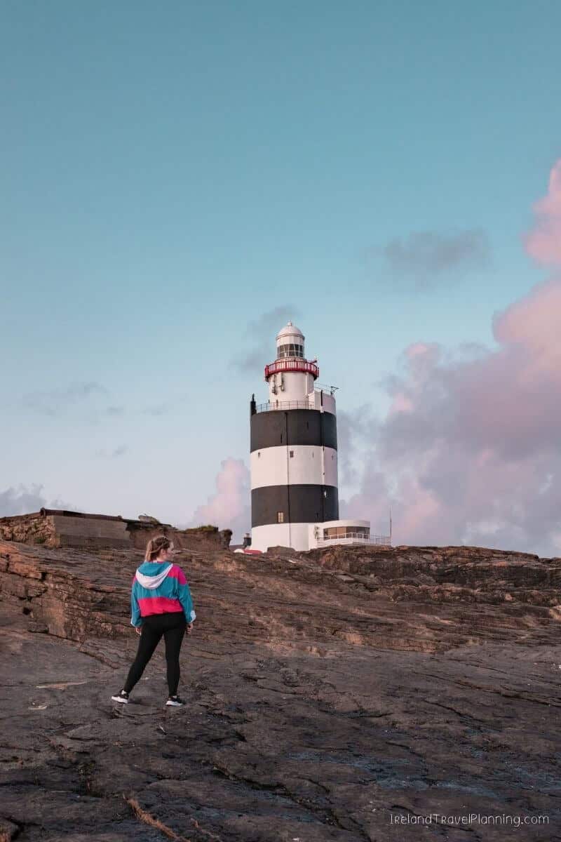
Hook Lighthouse has been standing here for more than 800 years and is recognised as the oldest intact operational lighthouse in the world.
You can take a guided tour inside the tower, climbing the old stone steps while learning about its medieval history and what life was like for the people responsible for keeping the light burning.
But you don’t necessarily need to take the tour to enjoy Hook Head.
The coastal grounds around the lighthouse are free to explore, and I think the setting is a huge part of what makes this place so special. The Atlantic crashes against the rocky coastline below, and there is plenty of space to walk around and take in the views.
So, if you love history, I’d go inside. But if you’re simply passing through the Hook Peninsula, it is still worth stopping to explore the coastline and see the lighthouse from the outside.
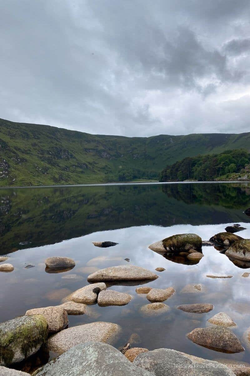
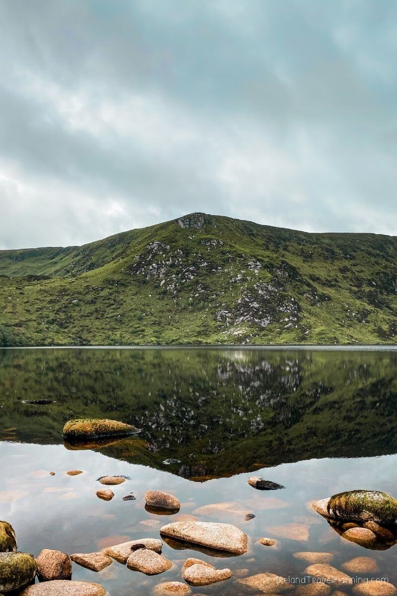
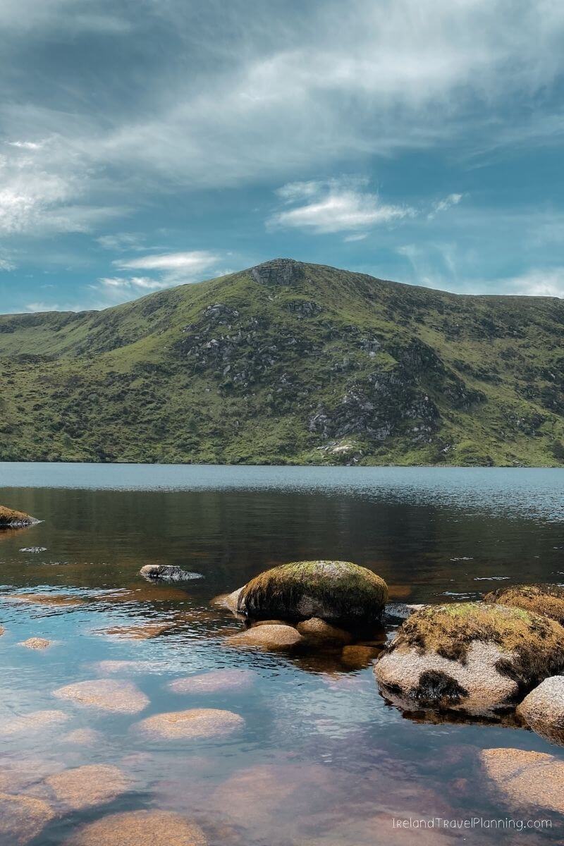
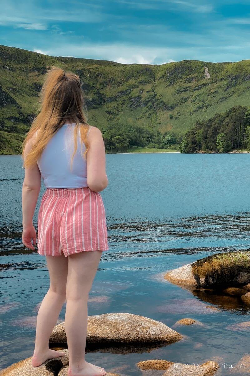
Lough Ouler, County Wicklow
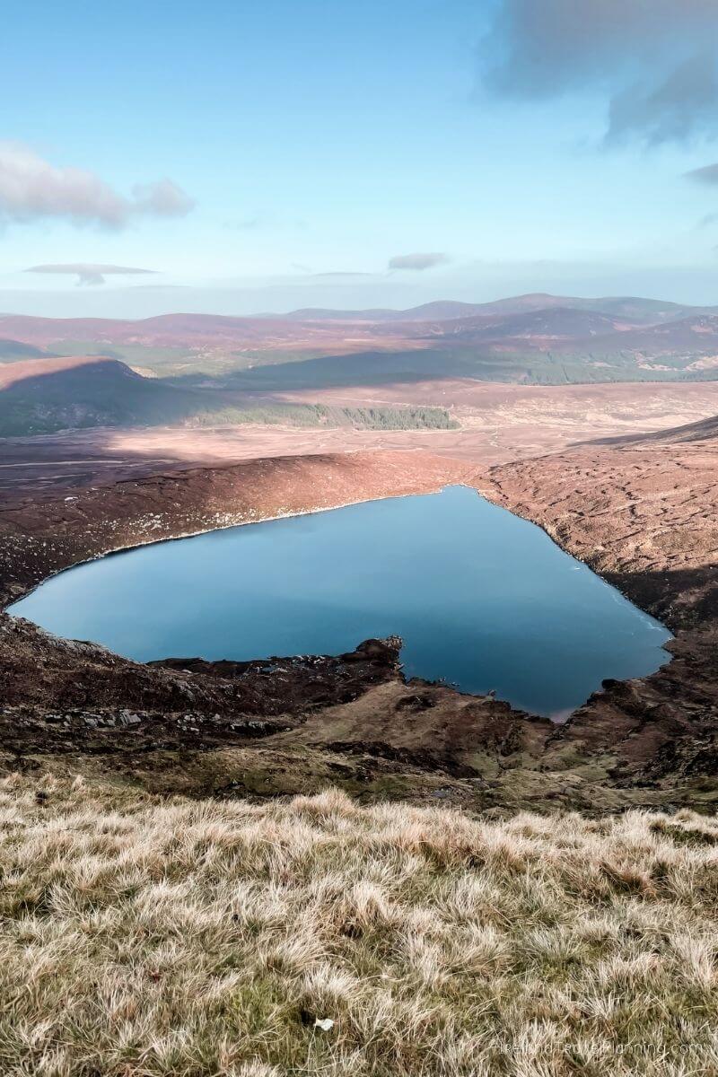
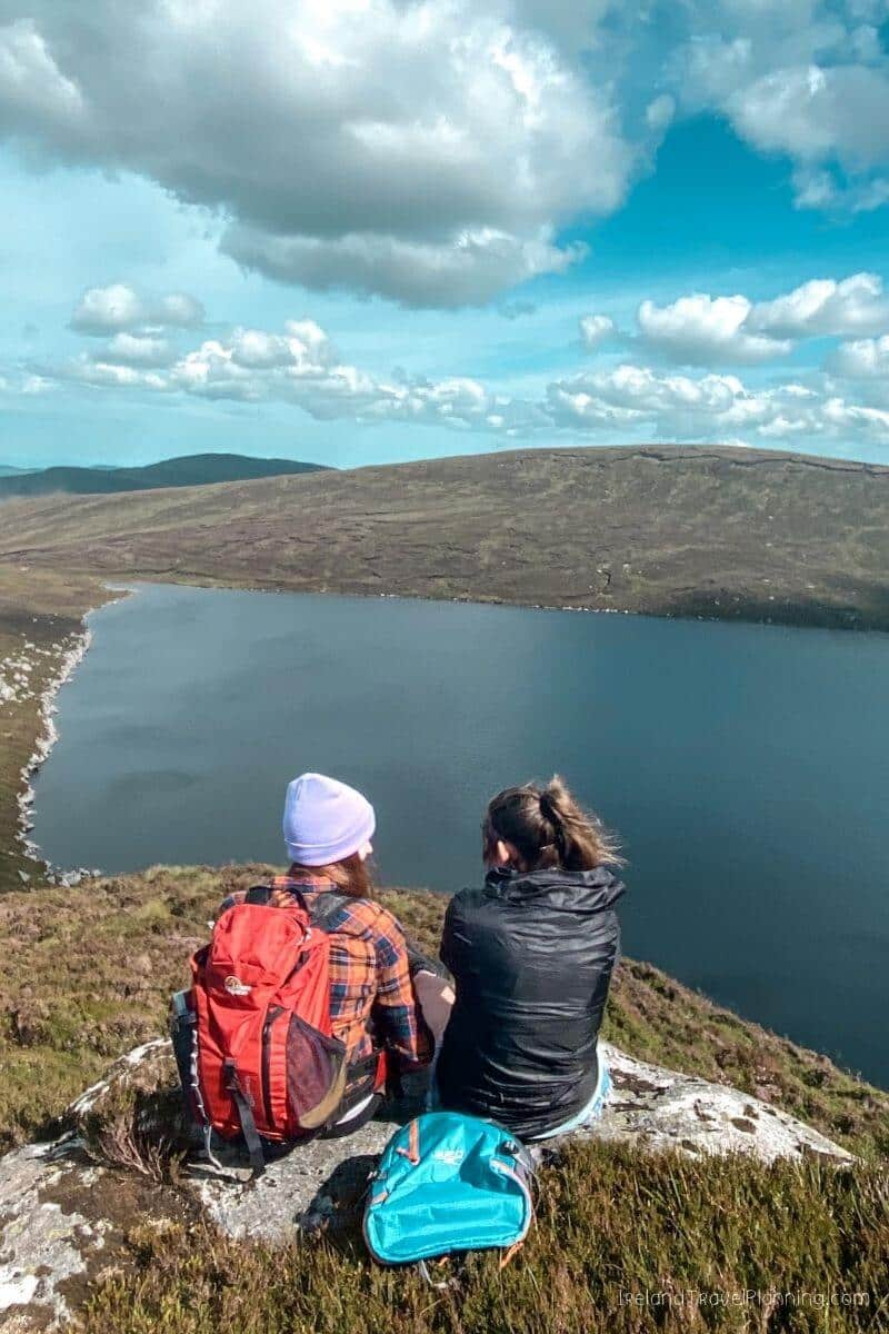
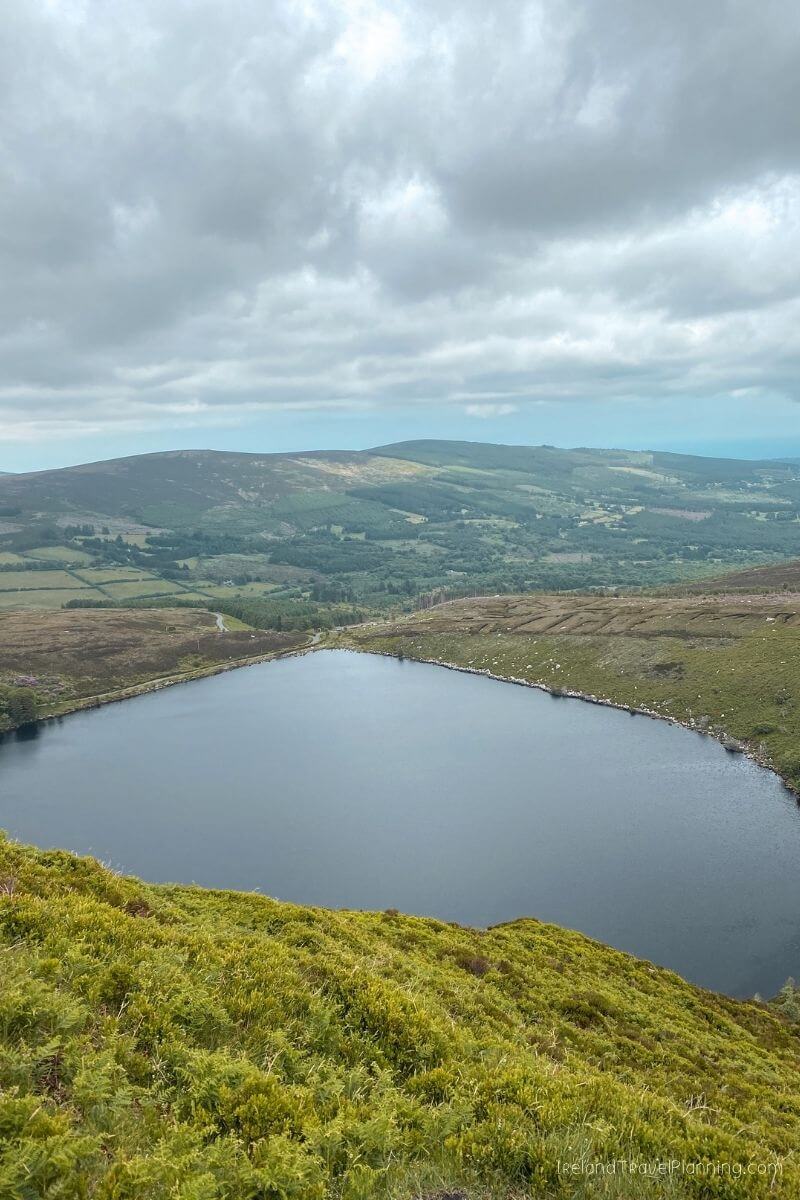
Lough Ouler has become increasingly popular in recent years, largely thanks to social media and its rather distinctive shape. Yes, Ireland really does have a heart-shaped lake.
The catch is that you have to hike to see it.
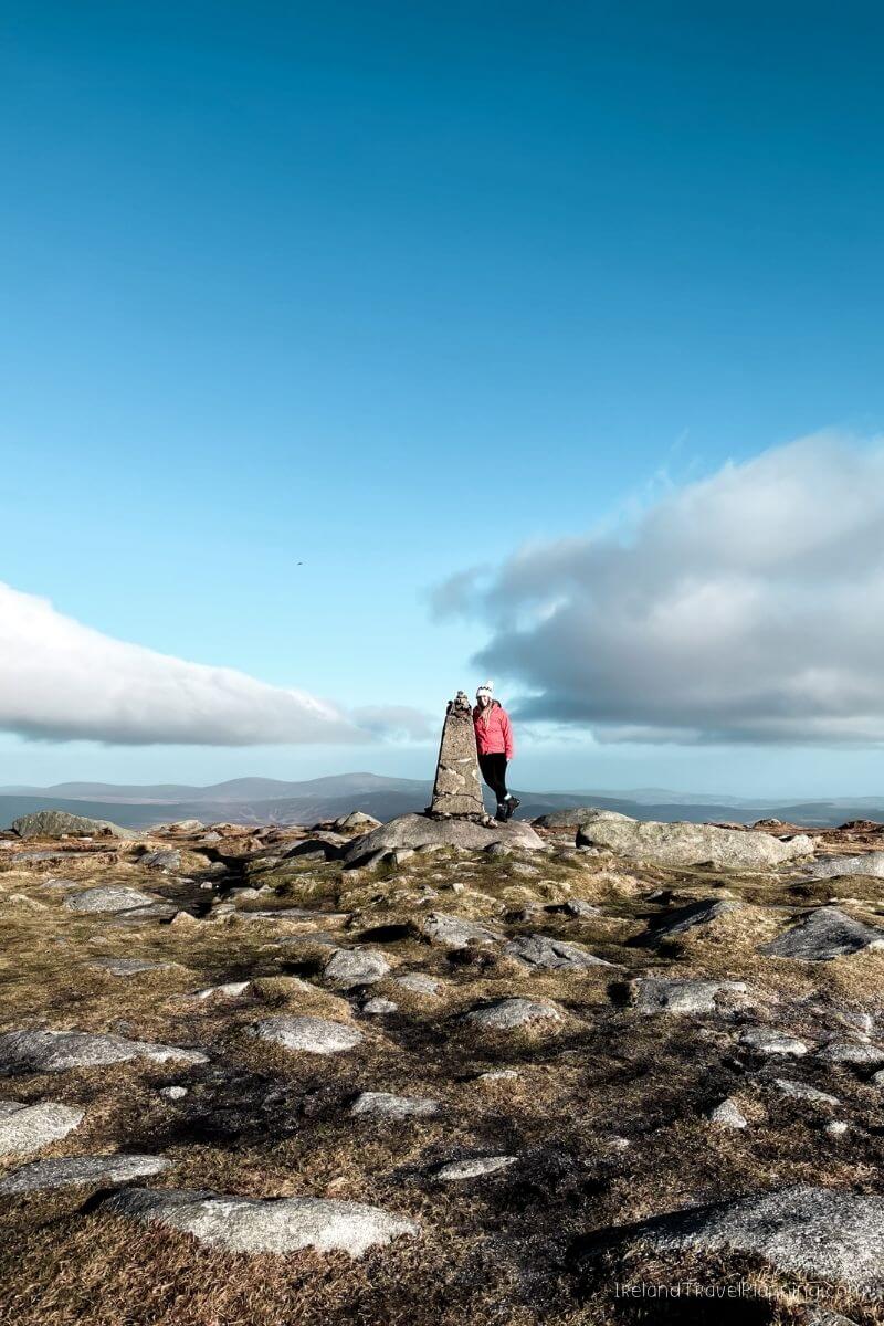
There are a few different ways to reach Lough Ouler, and the route you choose will make a big difference to the length and difficulty of the hike. Personally, I think the view from above is what makes this place so special, as this is where you can really see the heart shape of the lake below.
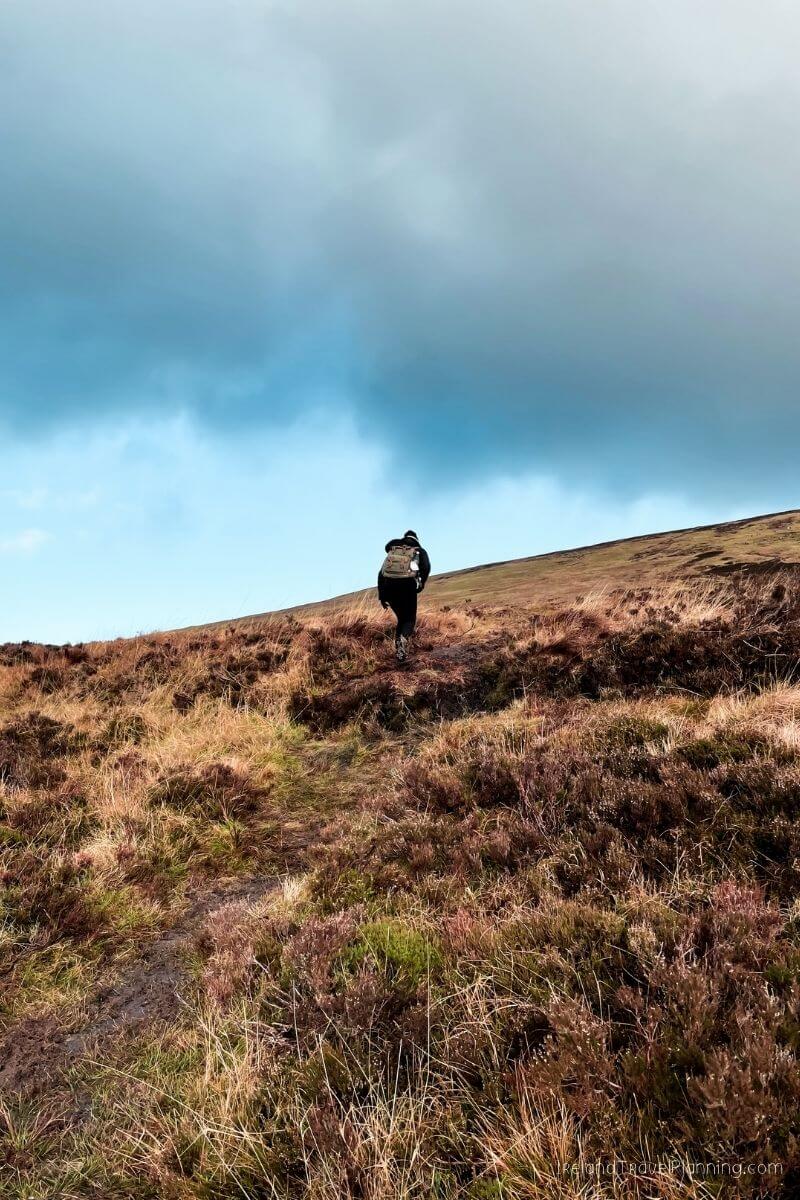
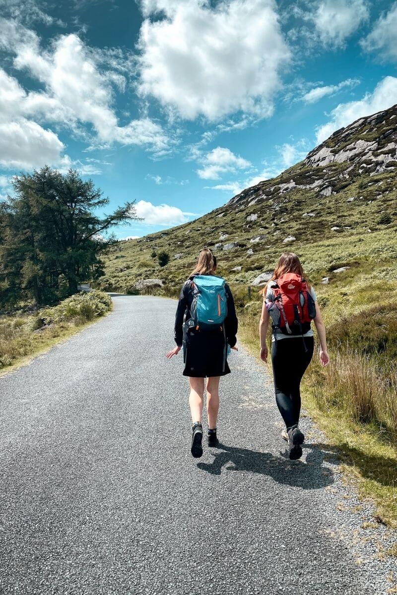
The hike does involve mountain terrain, so come prepared with proper footwear and check the weather before setting off. Wicklow has a habit of looking beautifully clear one minute and disappearing into cloud the next.
But on a clear day, the view over Lough Ouler is absolutely worth the climb. It is one of those places that became popular online for a reason.
Lough Bray, County Wicklow
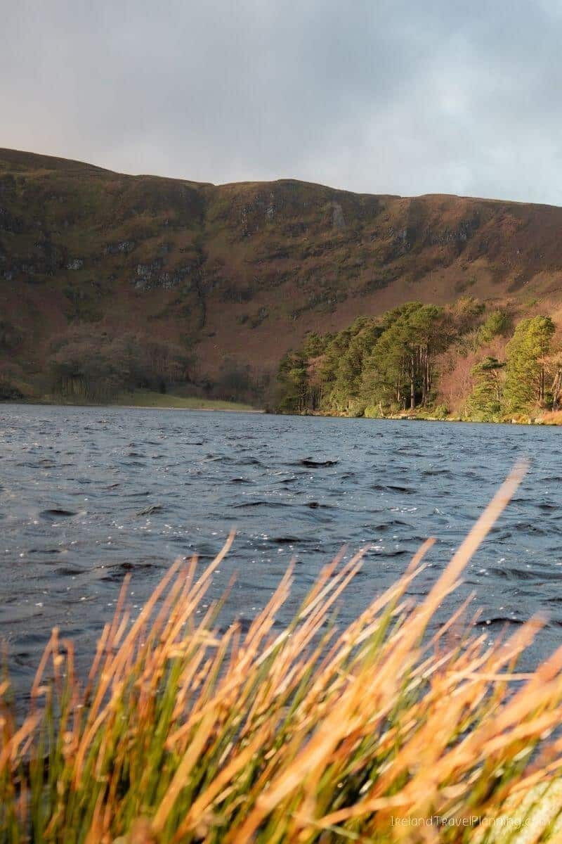
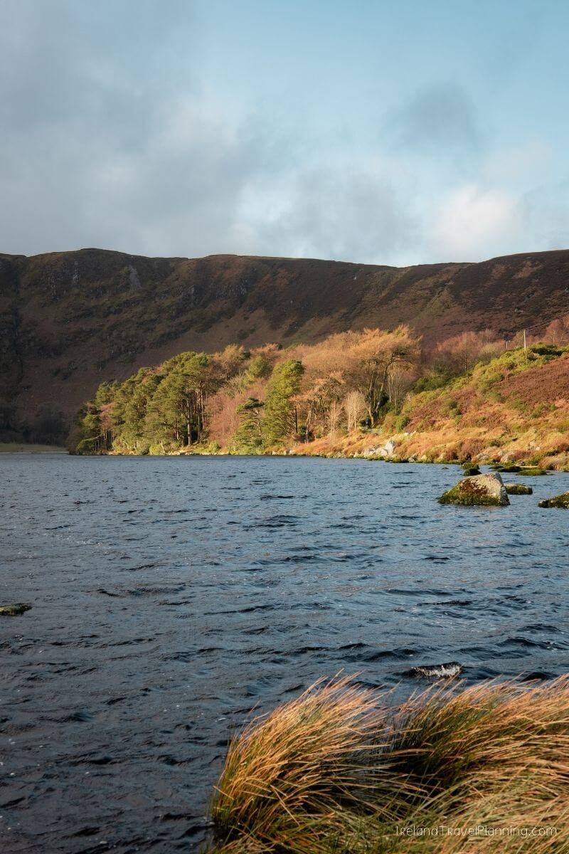
Lough Bray is one of my favourite hikes in Wicklow, yet it gets nowhere near the same attention as places like Glendalough or some of the county’s better-known trails.
The route I took loops around the Upper and Lower Lough Bray, giving you views across both lakes and the surrounding Wicklow Mountains. It is beautiful, but I do want to be clear that this is not a marked trail.
There are sections along a narrow cliff edge, so I would only recommend following the full route if you are a confident hiker and comfortable navigating an unmarked trail. From my experience, the loop took around two to three hours to complete.
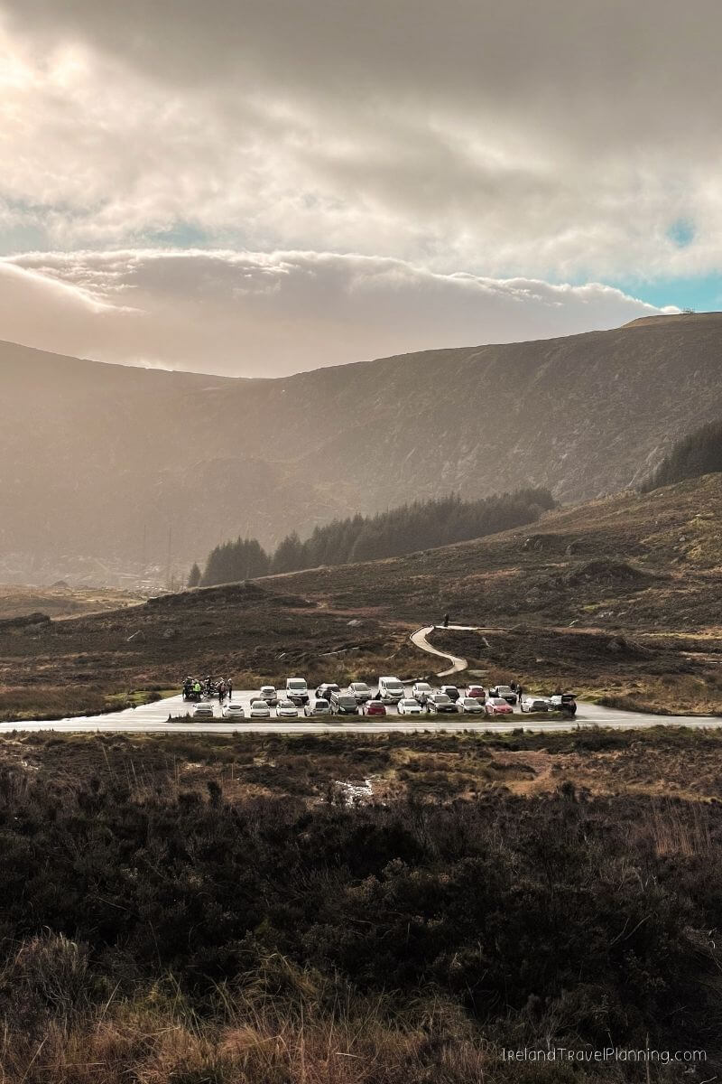
Parking near the start is also limited and can fill quickly during good weather, particularly at weekends.
For me, though, Lough Bray is one of those hikes that reminds me there is still so much of Wicklow that visitors completely miss. Glendalough may get most of the attention, but it is certainly not the only beautiful place to walk in the county.
Crone Woods, County Wicklow
Crone Woods is one of those places where most people seem to walk to the first main viewpoint, admire the view and turn around.
And to be fair, it is a pretty good view.
From Ride Rock, you can look across towards Powerscourt Waterfall before continuing deeper into the surrounding landscape. One of my favourite parts is heading towards the Glensoulan Valley, where you find yourself tucked between the mountains with the river running through the valley below.
It is incredibly peaceful and feels a world away from some of Wicklow’s busier walking trails.
There are a few different walking options from Crone Woods, so you don’t necessarily have to commit to one long hike. You can keep things shorter, continue towards the valley or use the forest as a starting point for a longer day in the mountains.
The car park is a decent size, but this is Wicklow we’re talking about. Give us a sunny weekend and apparently the entire county decides to go for a hike, so it can still fill up during busy periods.
☘️ DISCOVER UNIQUE ACTIVITIES WHILE IN IRELAND: Check out GetYourGuide & Viator for unique things to do, like a DIY Claddagh Ring Workshop in Dublin or a street food walking tour with a local.
The Boyne Valley
The Boyne Valley is not exactly one single hidden gem. It is an entire part of Ireland that I think international visitors often underestimate.
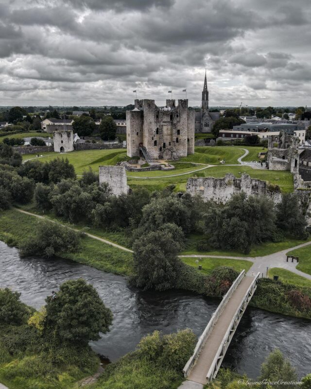
Spread across Counties Meath and Louth, this area is packed with some of the most important historical sites in the country. You have Newgrange, which was built more than 5,000 years ago, the Hill of Tara, Trim Castle and plenty more scattered across a relatively compact area.
Newgrange is probably the best-known of them all, and for good reason. The passage tomb was built centuries before the Egyptian pyramids, with its inner chamber aligned so that the rising sun enters the passage around the winter solstice.
Honestly, the fact that people managed to build something so precise more than 5,000 years ago blows my mind.
Then you have Trim Castle, the largest Anglo-Norman castle in Ireland.
And the Hill of Tara. This might be controversial, but personally, I wouldn’t prioritise the Hill of Tara unless you’re particularly interested in its historical significance. It was once the ceremonial seat of Ireland’s High Kings and is an incredibly important archaeological site, but visually, I found it quite underwhelming. Many of the ancient earthworks are much easier to appreciate from the air, so when you’re standing at ground level, it can be difficult to understand what you’re actually looking at.
And if you need a break from all that history, you also have Emerald Park nearby, formerly known as Tayto Park. A theme park originally named after a packet of crisps, with a potato as its mascot.
Honestly… only in Ireland. 😂
The Boyne Valley is also within easy reach of Dublin, making it a brilliant option if you want to explore beyond the city without travelling all the way across the country.
Underrated Places in Northern Ireland
Northern Ireland has no shortage of famous attractions, particularly along the Causeway Coast, but there is plenty more to discover beyond the usual stops.
These are some of my favourite hidden gems and lesser-known places to add to your Northern Ireland itinerary.
The Gobbins Cliff Path, County Antrim
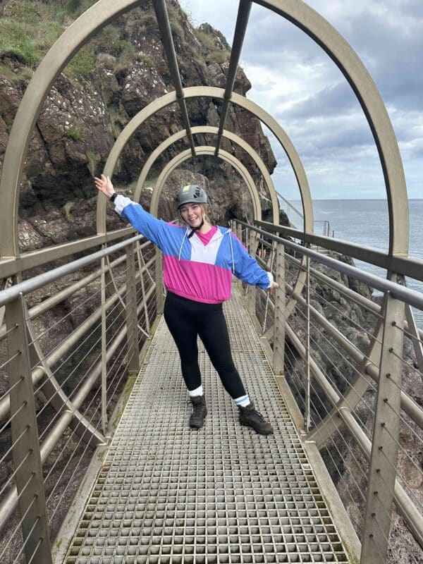
If you're looking for something a little different to the usual coastal walk, The Gobbins is one of the most unique places to visit in Ireland, especially if you enjoy dramatic coastal scenery and a bit of adventure.
The route quite literally takes you along the cliff face, crossing bridges and narrow paths with the sea crashing below. I’m not going to lie, if you’re afraid of heights, there may be moments when you question your life choices.
But that is also what makes it so much fun.
Unlike most walks in this guide, The Gobbins is a guided experience and needs to be booked in advance. It can also close due to weather or safety conditions, so I’d check the latest updates before building your plans around it.
The Causeway Coast gets most of the attention in Northern Ireland, but The Gobbins sits further south on the Antrim coast and offers something completely different from the Giant’s Causeway and the usual sightseeing stops.
If you enjoy a little bit of adventure and don’t mind heights, this is definitely one to consider.
Magheracross Viewpoint, County Antrim
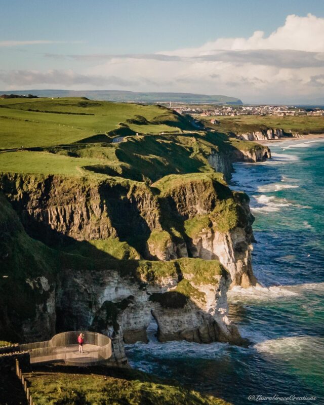
If you’re driving the Causeway Coastal Route, Magheracross is one of those quick stops that is very easy to add along the way.
The viewing platforms sit high above the coast, with views across Whiterocks Beach and towards Dunluce Castle in the distance.
And honestly, that is really the appeal. You don’t need hiking boots, a ticket or half a day in your itinerary. You simply pull in, walk out to the viewpoint and take in one of the best coastal views along this stretch of the route.
It is a small stop, but a very worthwhile one.
Mussenden Temple and Downhill Demesne, County Derry
Most Causeway Coast itineraries focus heavily on the Giant’s Causeway, Carrick-a-Rede and Dunluce Castle. But continue further west and you’ll eventually reach one of my favourite stops along the coast.
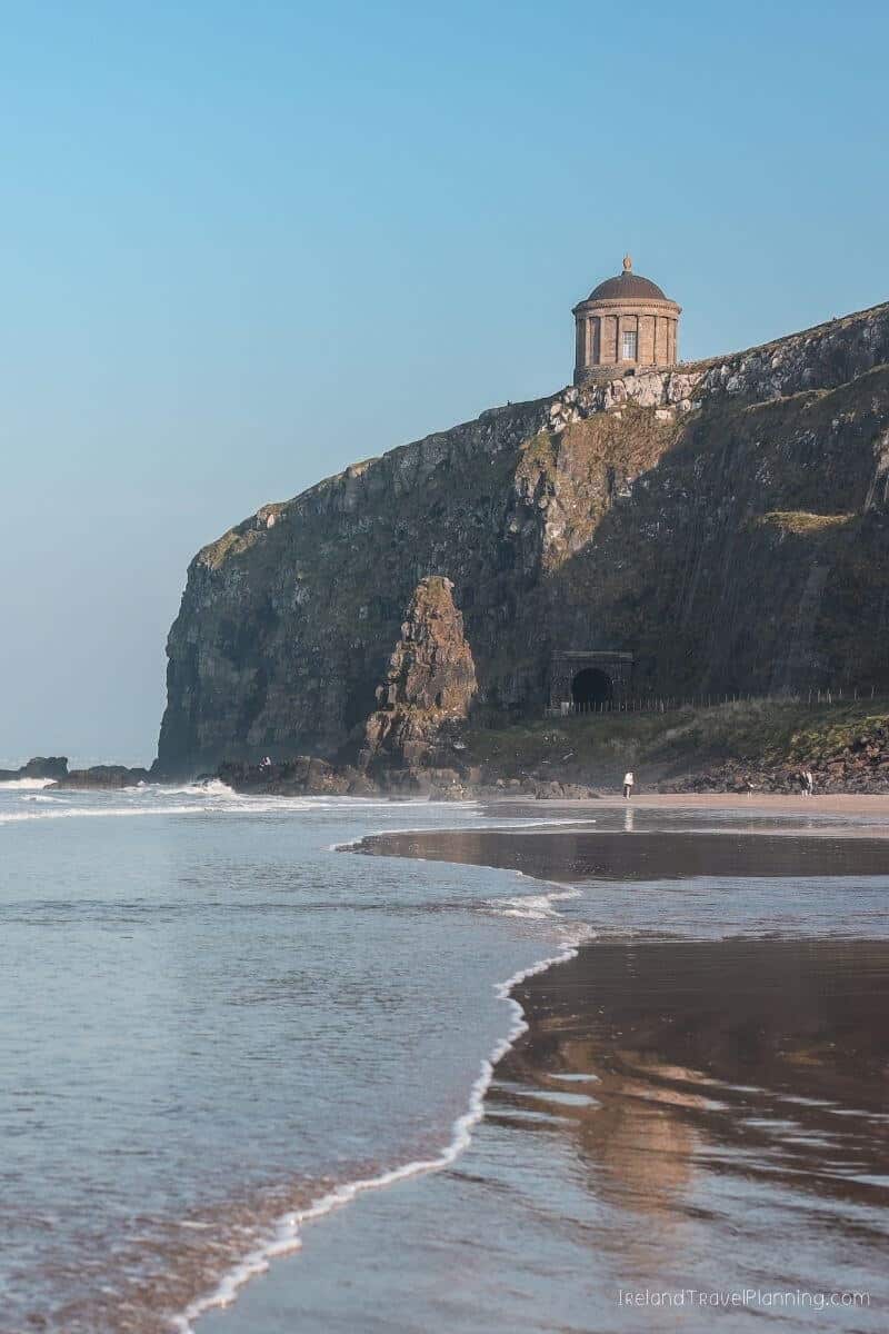
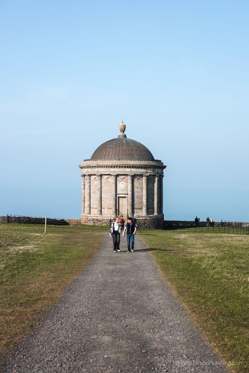
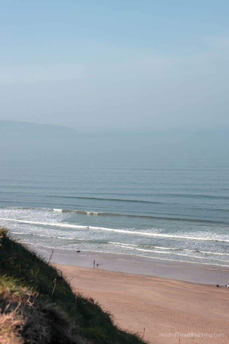
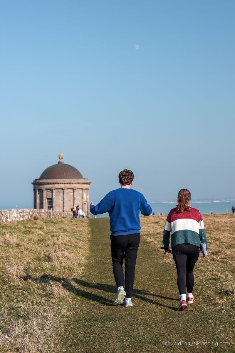
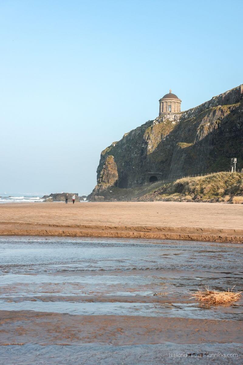
Mussenden Temple sits right on the edge of the cliffs overlooking Downhill Strand, and honestly, it is hard to imagine a more dramatic place to build what was originally used as a library.
The temple is part of the wider Downhill Demesne, so I’d give yourself time to explore rather than walking straight to the temple and back. You can wander through the estate, see the ruins of Downhill House and eventually make your way towards the cliff edge for views across the beach below.
From my experience, I’d allow around an hour for a relaxed walk, although you could easily spend longer exploring the wider grounds.
For me, this is a perfect example of why it is worth continuing beyond the busiest section of the Causeway Coast. The further you travel, the more there is to find.
The Mourne Mountains, County Down
The Mourne Mountains are definitely not a hidden gem among locals, but when it comes to international visitors, I still think they are completely underrated.
As someone who loves hiking, this is one of my favourite mountain ranges on the island of Ireland.
The Mournes are home to some incredible hikes, but the right one really depends on what you’re looking for. Slieve Donard is the highest mountain in Northern Ireland and the obvious choice if reaching the highest point is important to you.
Personally, though, I wouldn’t choose a hike based solely on height.
Slieve Binnian is another brilliant option, with its distinctive granite tors and views across the surrounding mountains and reservoirs. Then you have plenty of other routes throughout the Mournes, ranging from shorter walks to full days in the mountains.
What makes this area so special to me is the landscape itself. The mountains rise close to the coast, and the Mourne Wall cuts its way across the peaks, creating views that feel completely different from other hiking regions in Ireland.
If hiking is an important part of your trip, I really wouldn’t overlook County Down.
Hidden Gems in Ireland’s Hidden Heartlands
Ireland’s Hidden Heartlands is one of the least explored parts of the country, particularly among international visitors.
If you want to venture beyond Ireland’s usual tourist trail, this region is home to some beautiful lesser known places worth discovering.
Eagle’s Rock, County Leitrim
The first time I saw Eagle’s Rock, I had absolutely no idea what I was looking at.
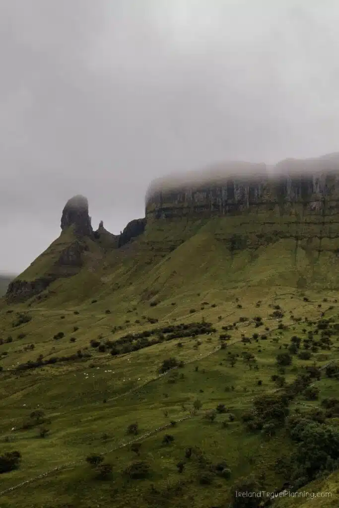
I spotted this enormous rock formation rising above the landscape while driving through County Leitrim and immediately wanted to know what it was. Naturally, that curiosity eventually led to me coming back to hike beneath it.
And honestly, I’m glad I did.
Eagle’s Rock is one of those places that makes you question why you don’t hear more about
Leitrim. The huge limestone cliffs rise dramatically above the surrounding landscape, and the closer you get, the more impressive they become.
The walk takes you towards the base of the cliffs rather than to the top, so you get to experience the sheer scale of the rock face from below. It is a relatively short walk, but the ground can be wet and uneven, so I’d wear proper walking shoes.
For me, though, part of what makes Eagle’s Rock memorable is how I found it in the first place. I saw something interesting from the road, wondered what on earth it was and came back to explore.
Sometimes, that is the best way to find places in Ireland.